Around Jærmannburet
Aukra
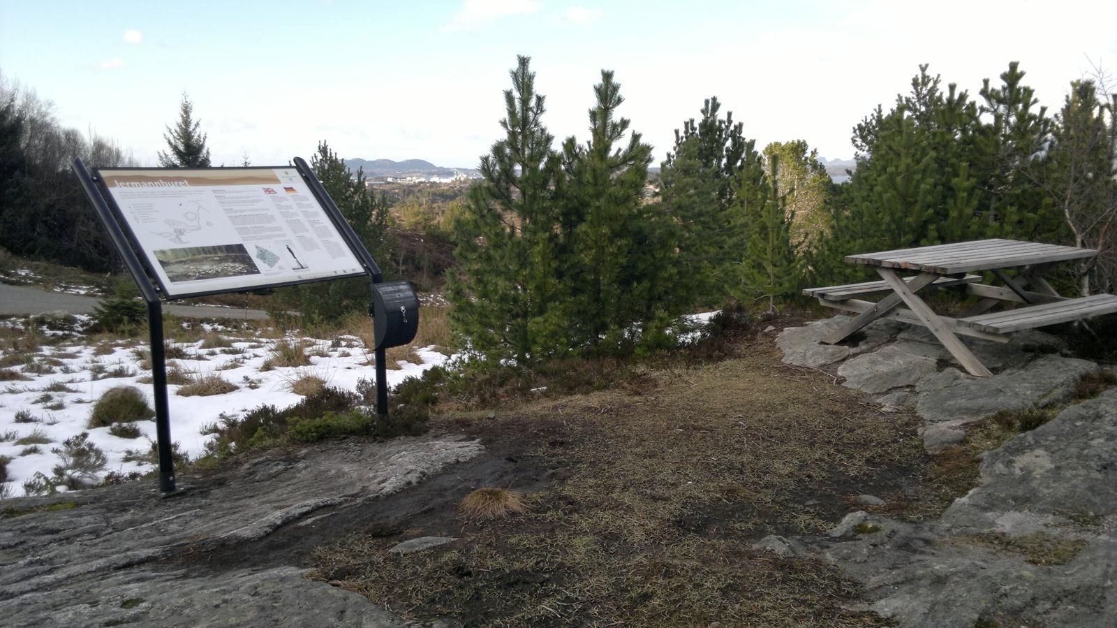
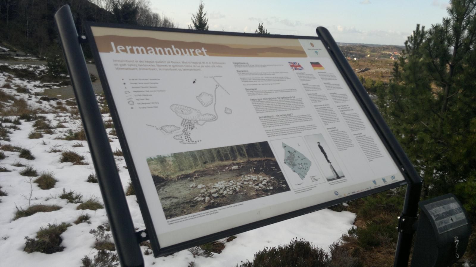
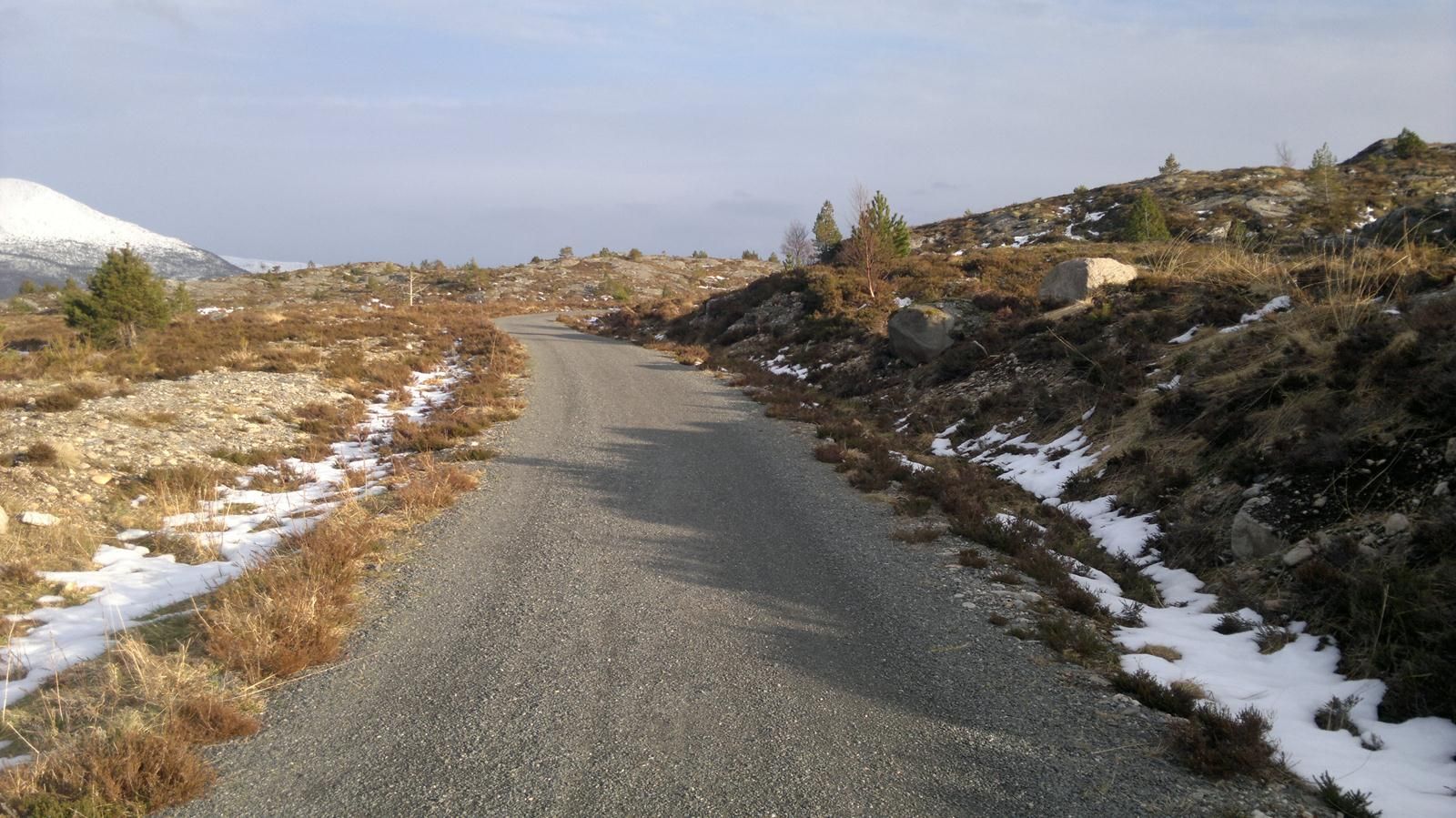
The trail up to Jærmannburet is a nice and easy hike everyone can enjoy. From the car park at Hoksneskrysset you can push a baby carriage or a wheelchair up to the trail checkpoint (postbox). Gravel road. You will get a fantastic view towards the Ormen Lange facility and Fræna municipality from the top. There is a nice picnic area with tables and benches where the trail checkpoint (postbox) is located. Information board.
There is a ferry connection with Hollingsholmen (route 31). The trail starts from the car park at Hoksneskrysset. If you are driving, follow the sign towards Nyhamna. Hoksneskrysset is about 2.5 km away from Nyhamna. Look for the sign to Jærmannburet and then turn right. Park your car at Hoksneskrysset and follow the gravel road uphill. Before you reach the water storage tank, you will see a path on your right side that continues up to the top of Jærmannburet, 99 m.a.s.l. To the left of the water storage tank you will find a picnic area with a trail journal. The trail up to Jærmannburet is a nice and easy hike everyone can enjoy. From the car park at Hoksneskrysset you can push a baby carriage or a wheelchair up to the trail checkpoint (postbox). Gravel road. You will get a fantastic view towards the Ormen Lange facility and Fræna municipality from the top. There is a nice picnic area with tables and benches where the trail checkpoint (postbox) is located. Information board.
This trail can also be made into a looped trail. From the Stikk UT! signpost you can follow the path further down quite a steep hill and then continue down the asphalt road across the construction site. When you reach the playground and the “gapahuk” mountain shelter, turn right and go down towards the main road. There is a foot- and a bicycle path back to Hoksneskrysset and the car park.
You can start the trail from the car park at Hoksneskrysset. If you are driving, follow the sign towards Nyhamna. Hoksneskrysset is about 2.5 km away from Nyhamna.
Parking at Hoksneskrysset. No parking fee applies.
Duration
40 min.

Kortreistartikkel om Jærmannburet
 Driving directions
 Route data
GeoJSON