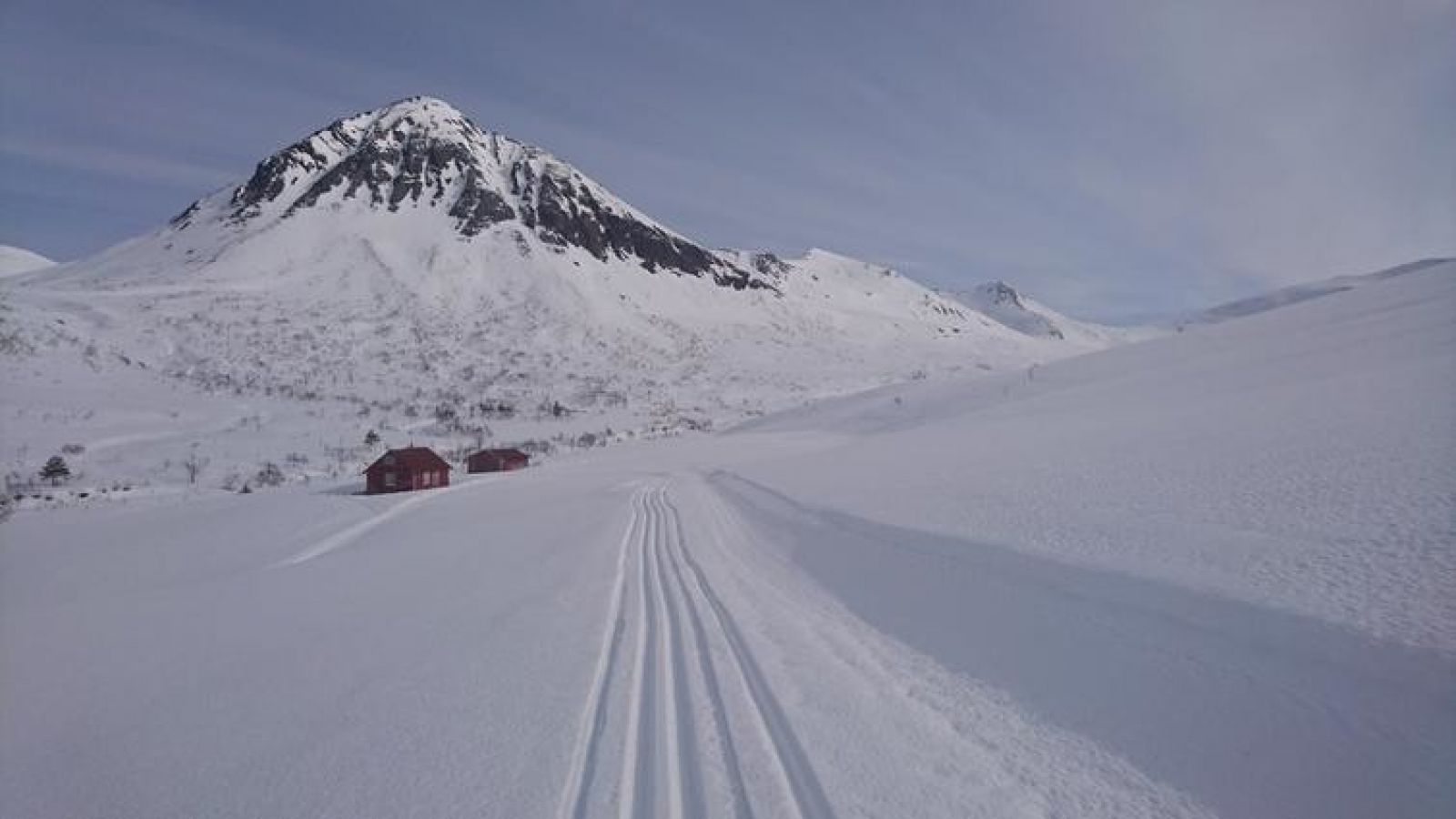
Leave your car at the car park in Skorgedalen (toll road). Cross the bridge to the surface lift and turn left up the hillside past the beginning of the surface lift. The trail gradually climbs uphill at first as it goes around Mount Strandafjellet. It then runs through the southern side of the Ljøsådalen Valley. After passing Norvikstølen (on the other side of the valley), there is some climbing before the valley flattens out again, and the trail is level on its way to Ingridsetra. This excursion can be combined with a trail over Mount Strandafjellet, and it is also nice to continue further into the valley to the Ljøsådalshytta Cabin. Source: romsdal.com

 Driving directions
 Route data