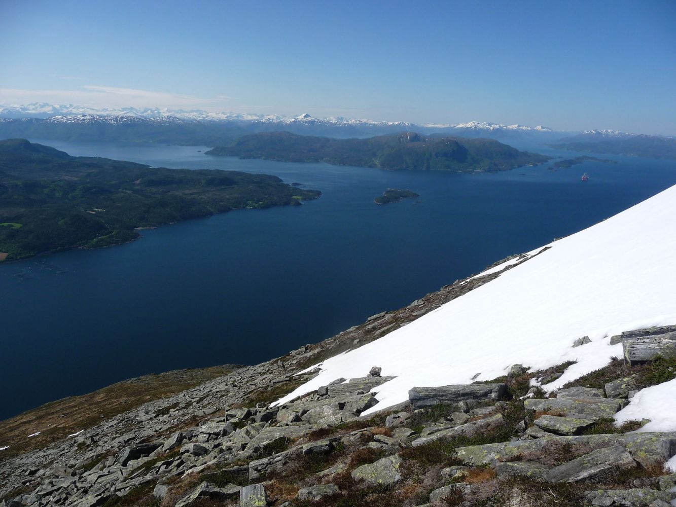
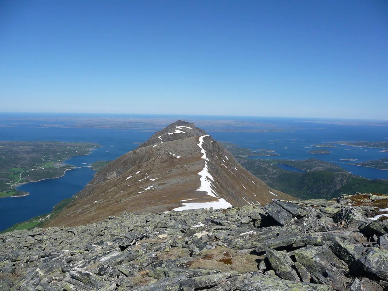
STIKK UT fitness trail in 2018This is the highest mountain in Tustna (908 m a.s.l.) It is also Southern Norway's highest mountain located on an island!At the top of the mountain you will get a fantastic view towards Aure, Halsa, Kristiansund and Smøla.
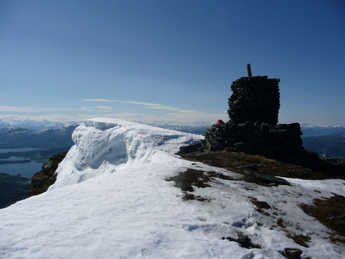
The trail ends at the top of Inderbergsalen. The postbox is attached to the cairn.
Turn off the national road towards Soleim. Follow the road for about 6 km until you reach the turnaround in Inderberg. Follow the forest road further until the timber stacking area / turnaround about 2 km from Inderberg. You can also drive from Inderberg, but it is not recommended. The path starts from the hilltop at the timber stacking area / turnaround. Signposted. The path climbs steeply up the ridge on the east side. Follow the path past the summer farm dwellings until you are above the forest line.
There is a car park in Inderberg.
Duration
4 t. 25 min.

Sesong
Spring, Summer, Autumn
Signage
Both signed and marked
You cannot get here by public transport.
 Driving directions
 Route data
GeoJSON