Hundsnes – Brandal Dam
Vanylven
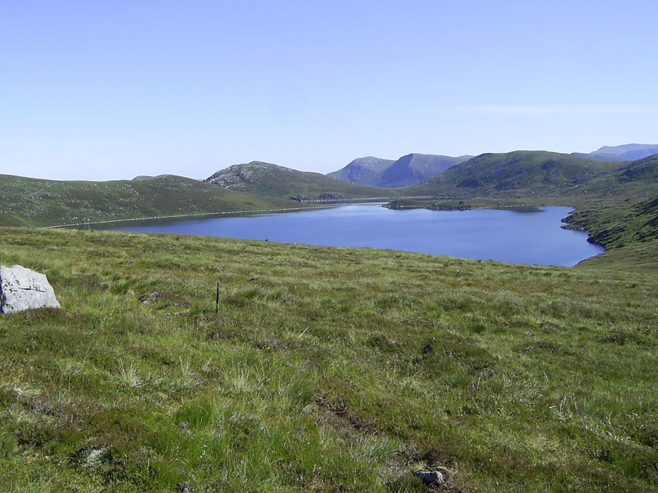
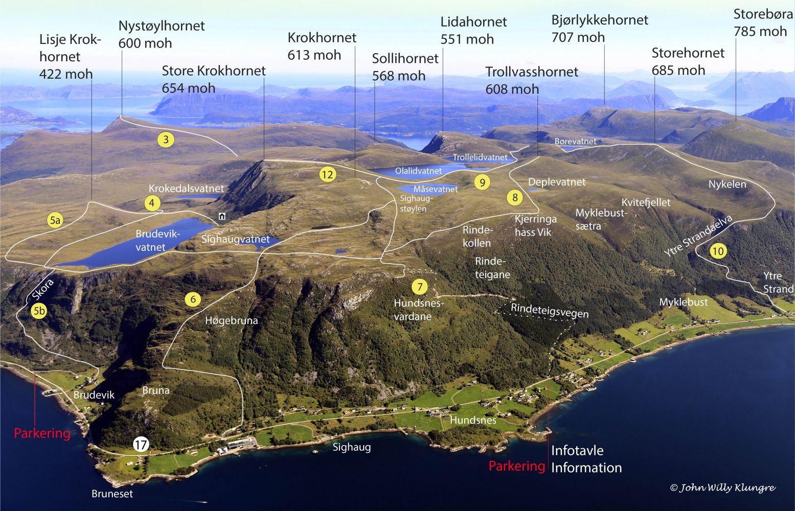
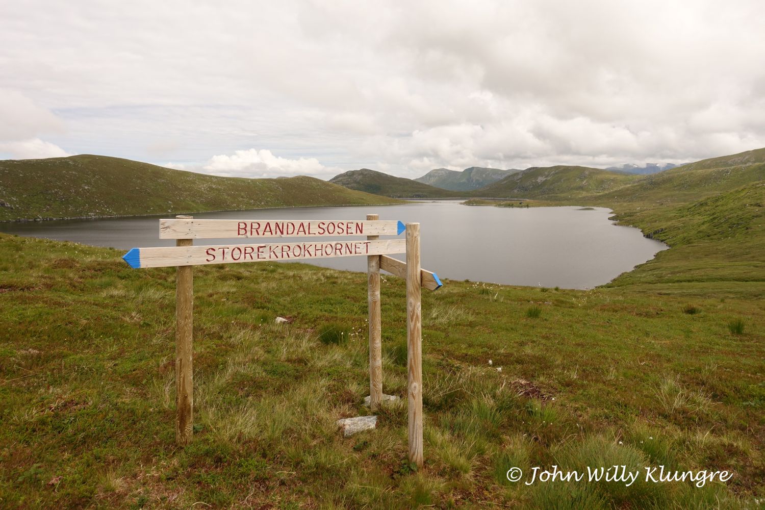
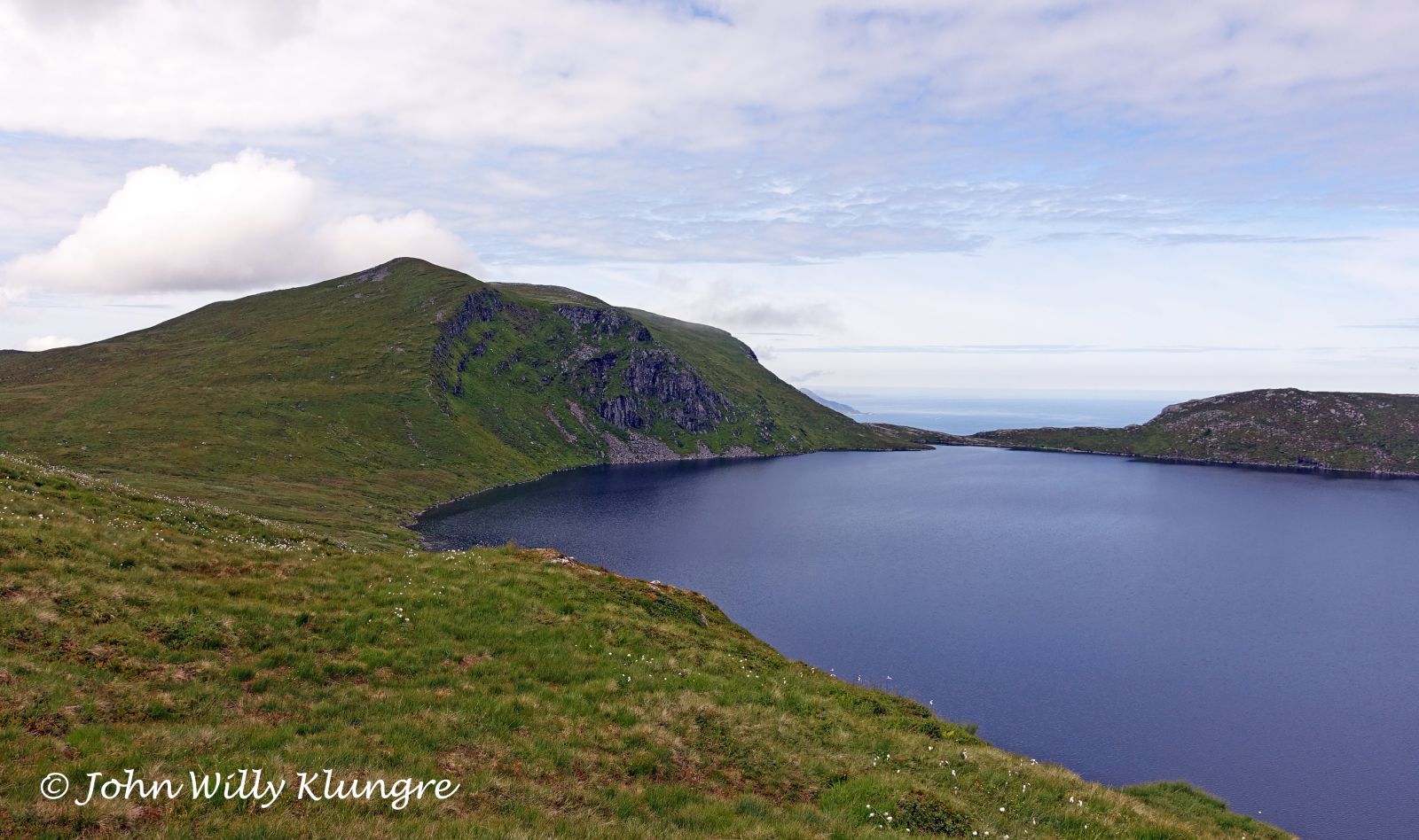
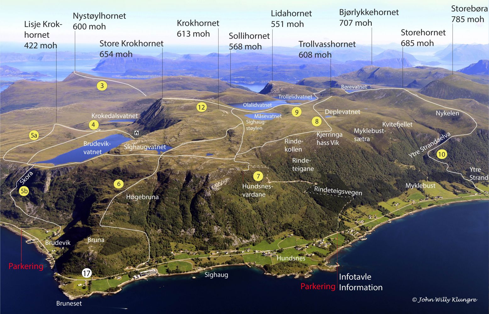
This marked trail runs over the mountain between Hundsnes and the dam at the end of Lake Børevatnet. It can be a starting point for several other hikes in this part of the mountain area. You can start this hike either from the dam on Lake Børevatnet or from the stacking area for timber along the mountain road in Hundsnes.
The trail follows slightly sloping long valleys over the mountain. The section up or down the mountainside of Hundsnes is slightly steep, but you will follow a good-quality path. On the side of Brandal, there is a road that you can drive to the start or the endpoint of the hike.
The starting point for this hike can either be the dam on Lake Børevatnet or the stacking area for timber along the mountain road in Hundsnes.
There is a toll road from Søre-Brandal to Lake Børevatnet.
Duration
3 t. 40 min.

Sesong
Spring, Summer, Autumn
Signage
Both signed and marked
| Surface type |
Distance |
| Grus |
4 |
| Sti |
5,5 |
Vanylven Hiking Map Route 7 + route 9
 Driving directions
 Route data
GeoJSON