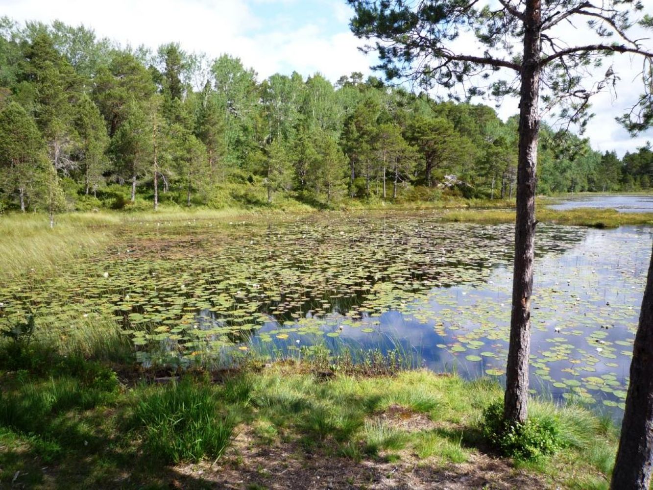
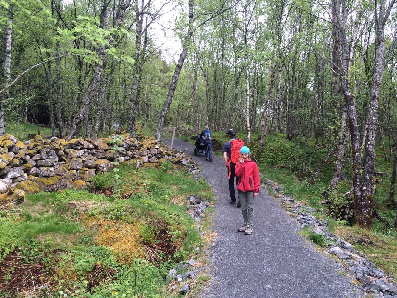
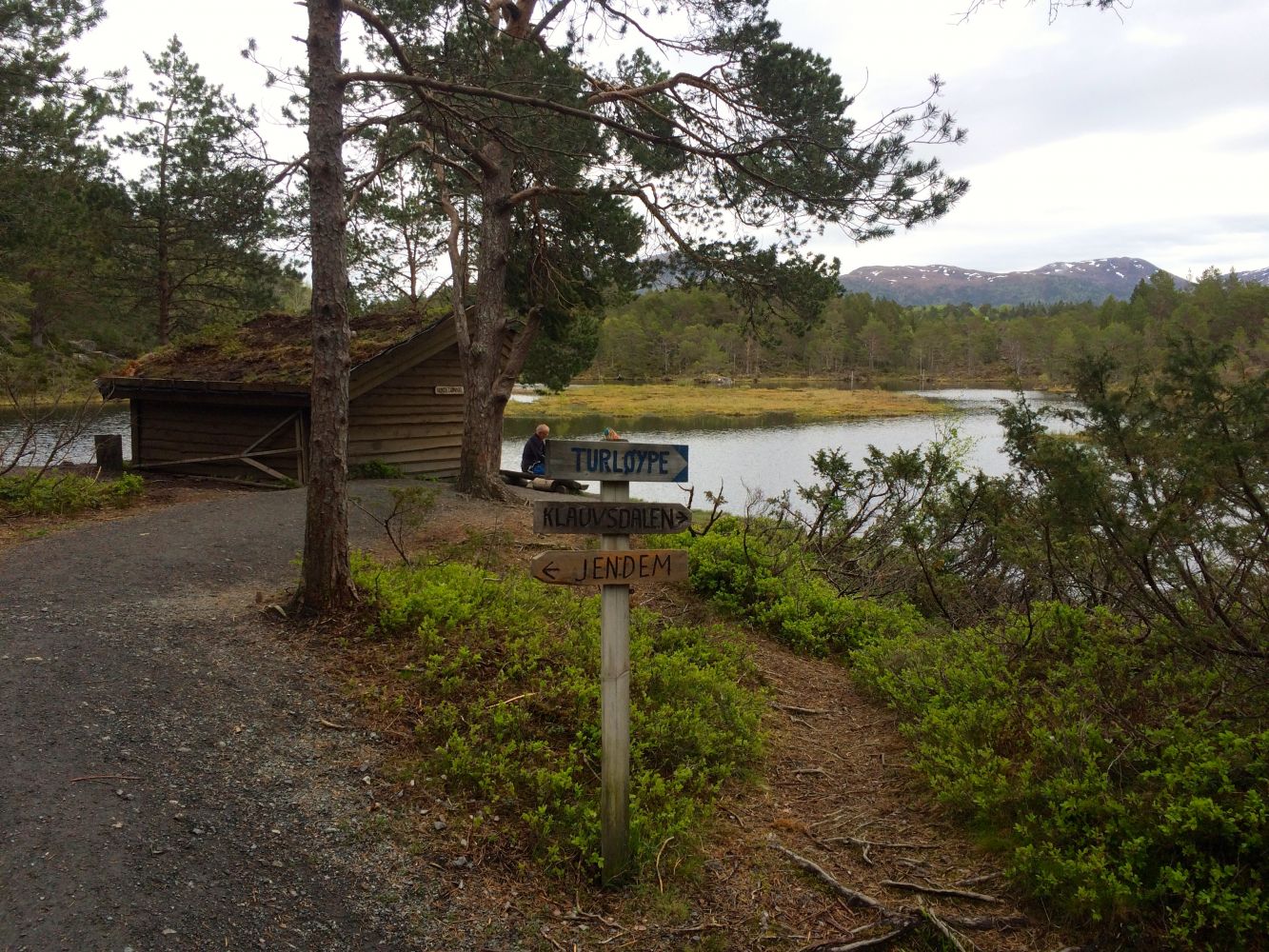
Nice and easy trail that partly follows an old cultural sight – a water furrow from Hundetjønna to Hollingsbukta. At Hundetjønna you will find the “gapahuk” mountain shelter and a place for a bonfire. Take a late evening tour to Hundetjønna for an unforgettable experience. The fog over the lake creates a magical atmosphere. The lake is full of beautiful water lilies.
Route description
Drive for about 400 m from the junction by the Hollingsholm ferry terminal in the direction of Jendem. Take the turn to the right and leave your car at the car park there. The trail starts from the car park by the national road where the farm road to Lauvåsen begins. Follow the farm road for 0.7 km up to the point where the path to Hundetjønna begins. The path goes east and forward towards the “gapahuk” mountain shelter at Hundetjønna. Nice and easy trail that partly follows an old cultural sight – a water furrow from Hundetjønna to Hollingsbukta. At Hundetjønna you will find the “gapahuk” mountain shelter and a place for a bonfire. The trail is about 1.5 km long.
Same as the starting point.
Access and parking
Drive for about 400 m from the junction by the Hollingsholm ferry terminal in the direction of Jendem. Take the turn to the right and leave your car at the car park there.
At the car park by the national road. No parking fee applies.

 Driving directions
 Route data