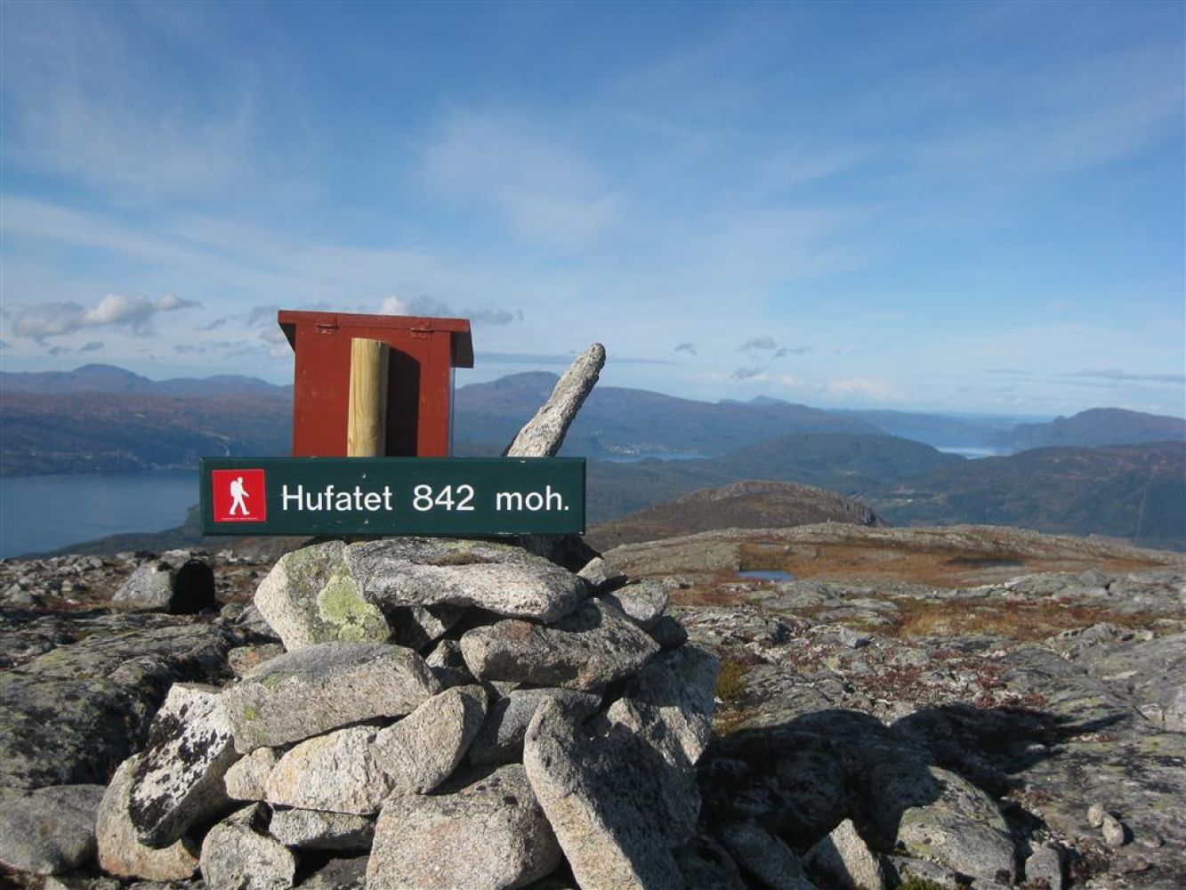
This trail takes you through amazing nature with a spectacular view of the fjords and mountains in the surrounding area. The destination of this trail is a cairn with a red StikkUt postbox attached to it.
Follow the path that goes parallel to the Vidalselva River up to Havdalssetra. About 500 m past Havdalssetra above the tree line, the path is clearly signposted. Turn off the path and follow the terrain to the southwest. At the height of about 650 m a.s.l., you will pass a stream valley. From there on, continue in the same direction until you reach the top at 842 m a.s.l. The trail is marked with cairns and sticks along the way. We recommended taking a map and a compass with you. Keep in mind that the fog can quickly form in the area.
Turn off National Road 70 (Rv 70) near the petrol station in Meisingset and follow the sign to Rotås.
After about 3 km, turn left and drive up to Lake Hafstadvannet. Drive to the eastern end of the lake and stop just after you have passed the bridge over the Vidalselva River. Park your car on the right side of the road. The trail starts on the side of the road opposite to the car park.
Make sure your car does not block other traffic when parking.

 Driving directions
 Route data