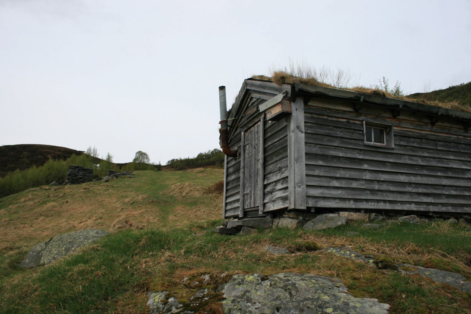
This is a steep and beautiful trail to an old farmhouse. There is a trail journal to register your name.
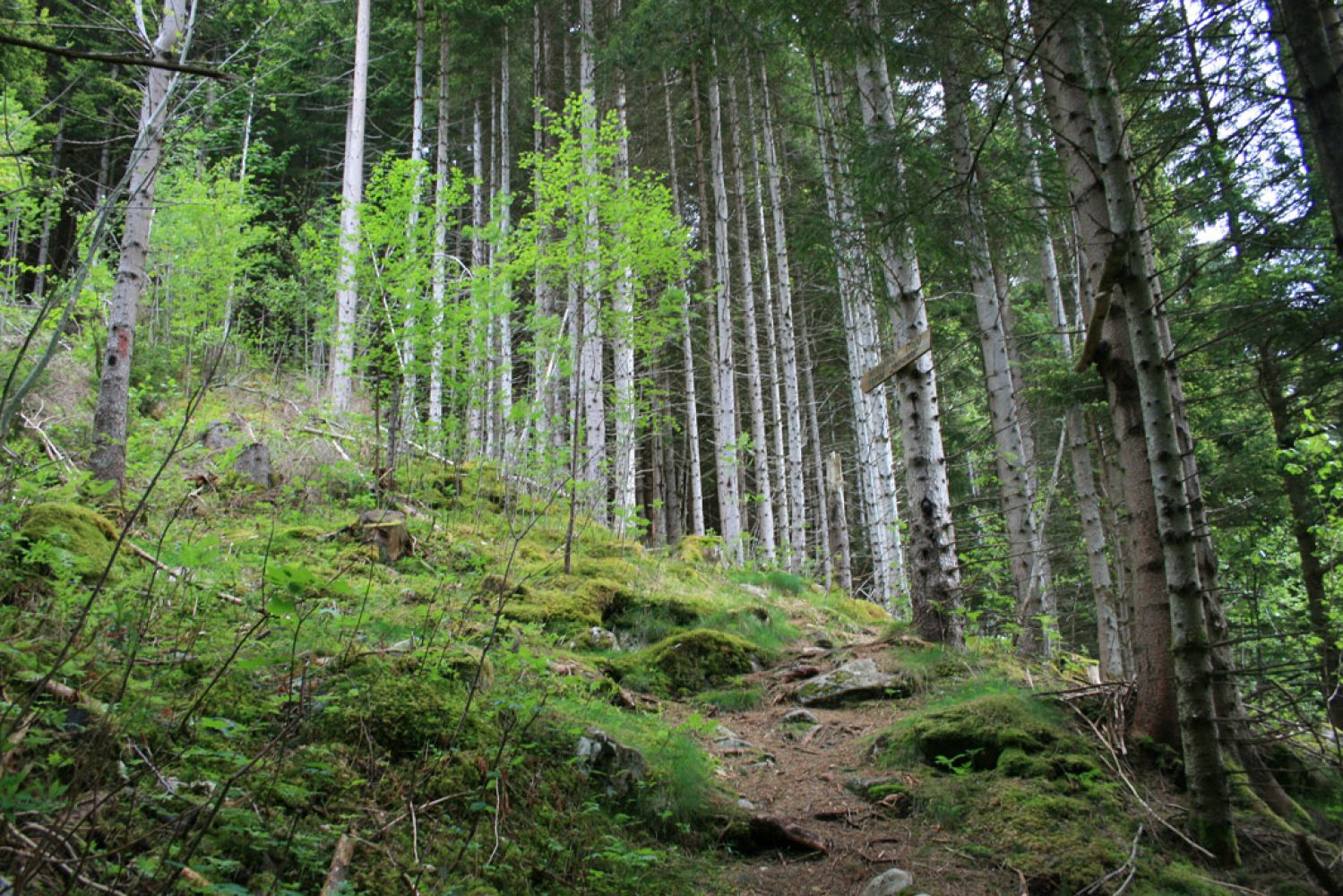
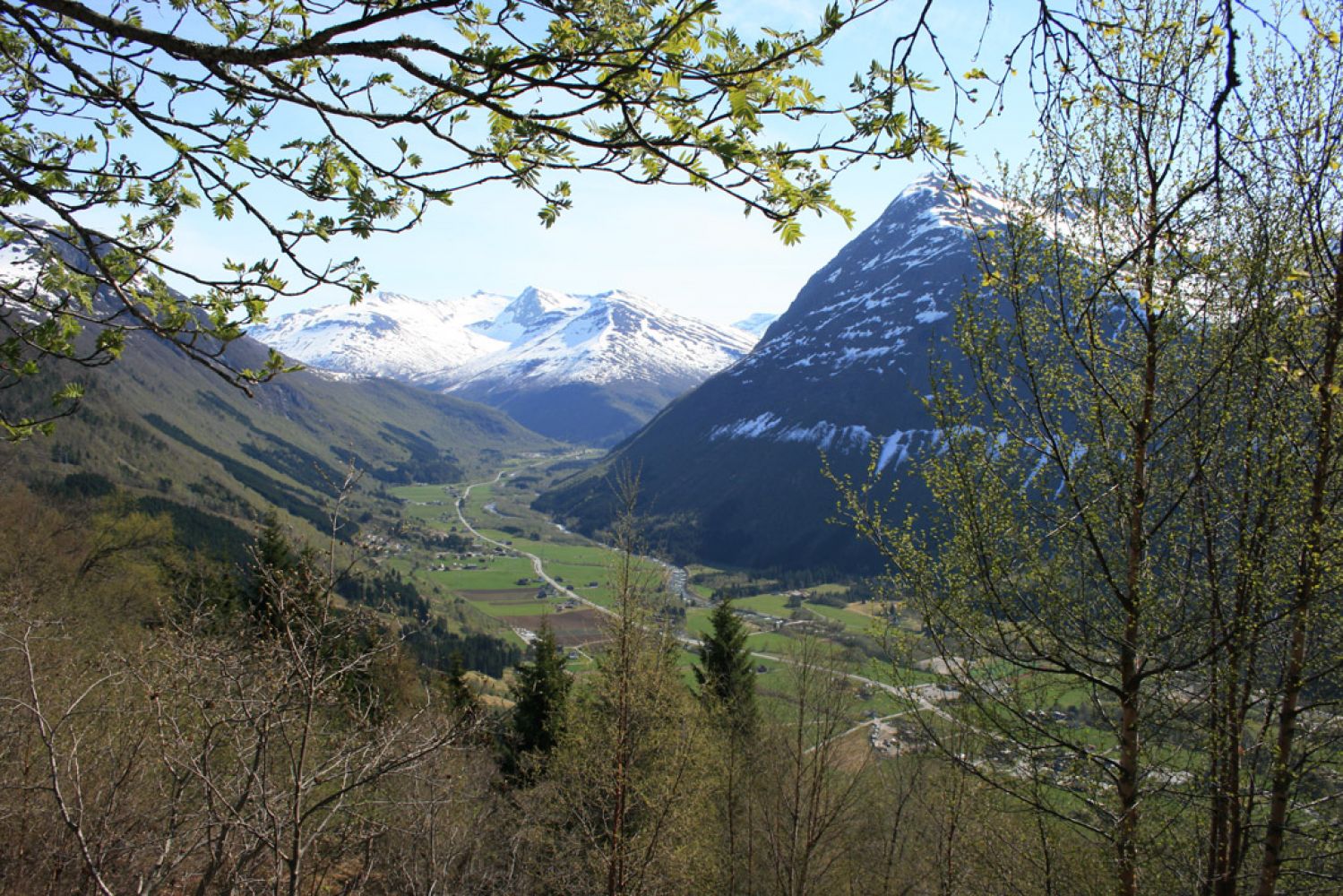
The path is quite steep. It takes you through a section of coniferous forest first, but as you walk further up, you will get a better view along the way. It is possible to extend the trail to Mount Varden or walk along the mountain side towards the Midtbustsætra summer mountain farm.
Park your car either in the centre or at the petrol station. From the opposite side of the petrol station, walk for 1 km up towards the Hovslia housing estate. Follow the road as it takes a sharp turn to the left. Then turn right at the junction further up the road. Once you reach the end of the road, walk uphill past the last house (a walkway goes down from there). The beginning of the path is just above the turnaround.
We recommend that you park your car in the centre or at the petrol station, because the access to the car park in Hovslia is limited.
Distance
2,8 km both ways
Duration
1 t. 55 min.

| Surface type |
Distance |
| Sti |
2,8 |
Ørskogfjellet tourist map
 Driving directions
 Route data
GeoJSON