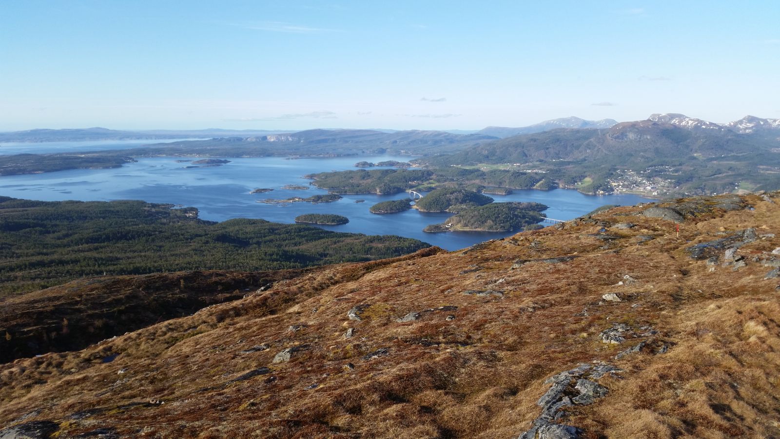
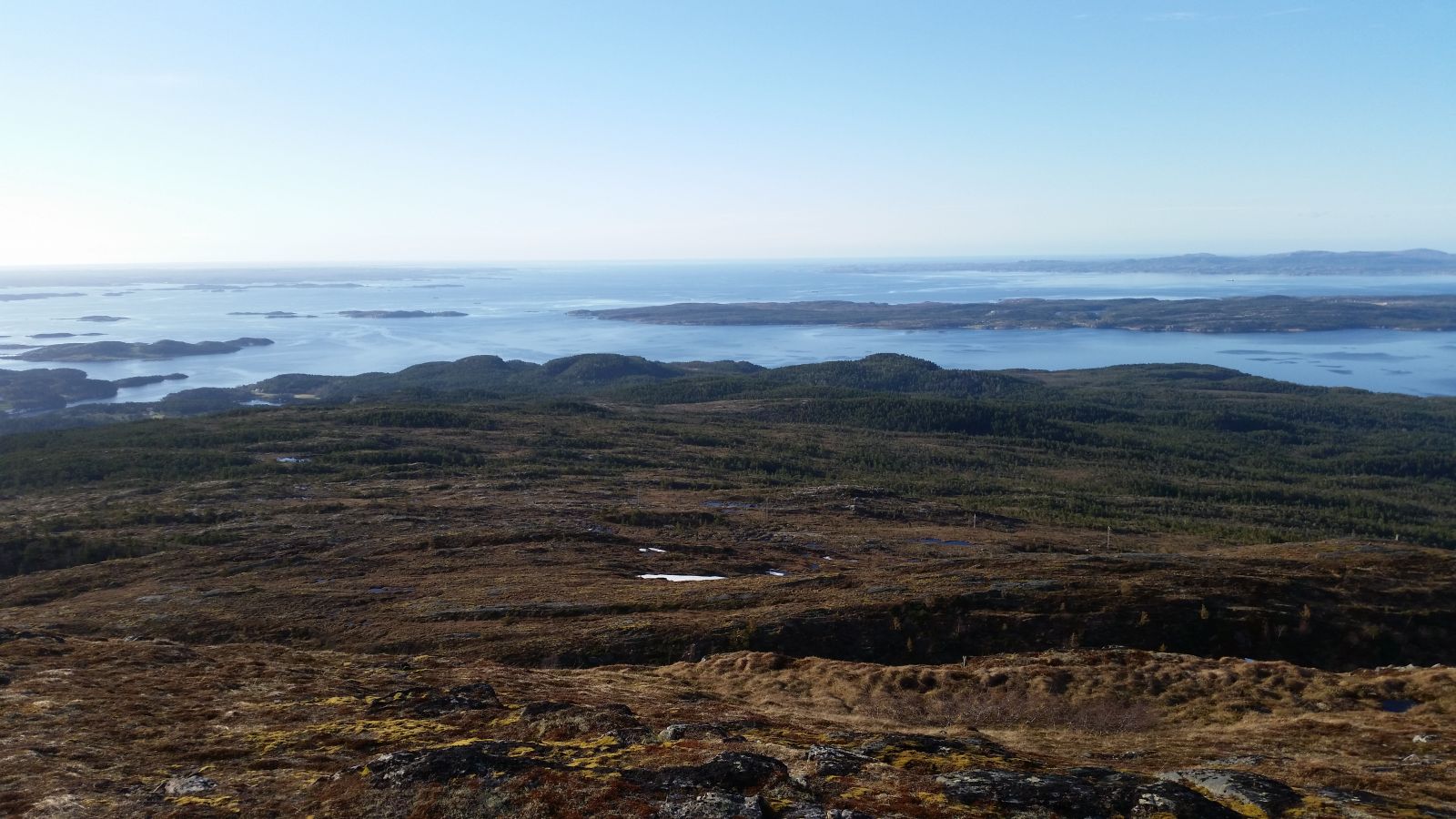
This trail goes up the mountain on the island of Ertvågsøya. The height of Mount Hostegga is 505 m a.s.l. It offers a great view towards the Trondheimsleia strait, Smøla, Tustna mountains, the centre of Aure and the mainland.
Route description
The trail follows a forest road, covers some moorland and gentle mountain terrain.At the start of the trail walk along the forest road which follows the same route as Fjordruta (“fjord route”) up to the tourist association in the direction of Nersetra. Closer to the top, when you are above the forest line, turn left off the Fjordruta trail onto the marked path. Follow this path up to the top. There is some moorland along the way.Start at the stacking area for wood and timber about 200 m from the roundabout in Giset (near the Mjosund Bridge) in the direction of Kristiansund. NB. Big forest harvesting machines are operating here in summer, so please show respect. Timber is stored at the starting point.
Hostegga mountain top. 505 m a.s.l. Great view of the Trondheimsleia strait, Smøla, Tustna mountains, the centre of Aure and the mainland. The destination of this trail is also a checkpoint on the fitness trail of the Ertvågsøya sports association.
Access and parking
In Giset at the roundabout before the Mjosund Bridge.
Park your car at the designated area right between the roundabout and the designated starting point. Parking is also possible at the roundabout. Please DO NOT park your car at the starting point.
Hiking route
Blue
Distance
3,28 km one way
Elevation
483 m
Duration
2 t. 50 min.
Sesong
Winter, Spring, Summer, Autumn
Highest Point
489 masl
Signage
Both signed and marked
Map route
Surface type
Distance
Sti
2
Public transport
There is a bus connection. Please check the timetable for Kristiansund-Aure, Tide bus company.

 Driving directions
 Route data