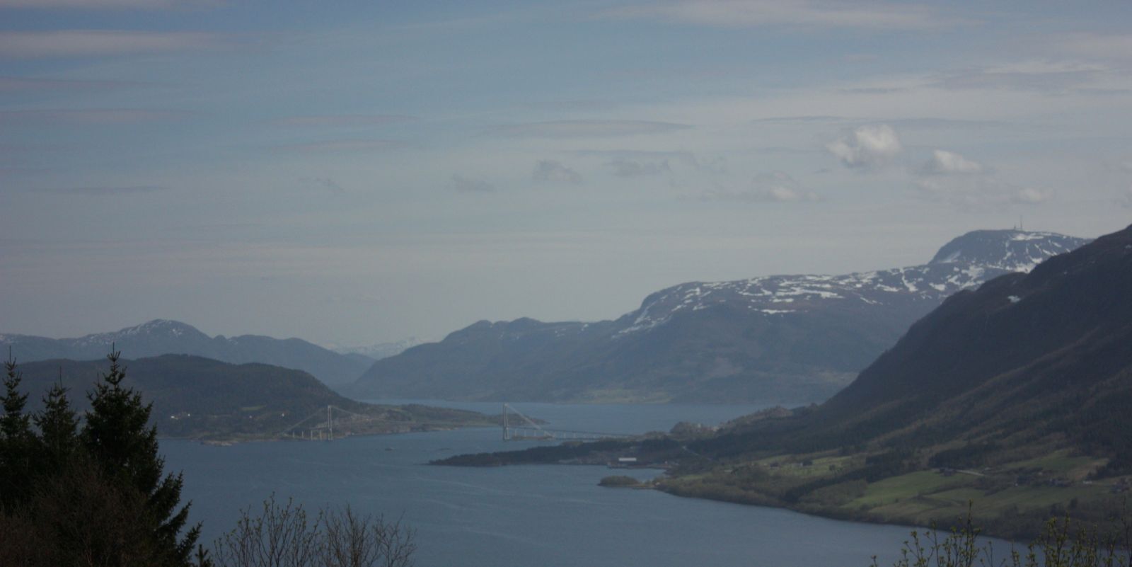
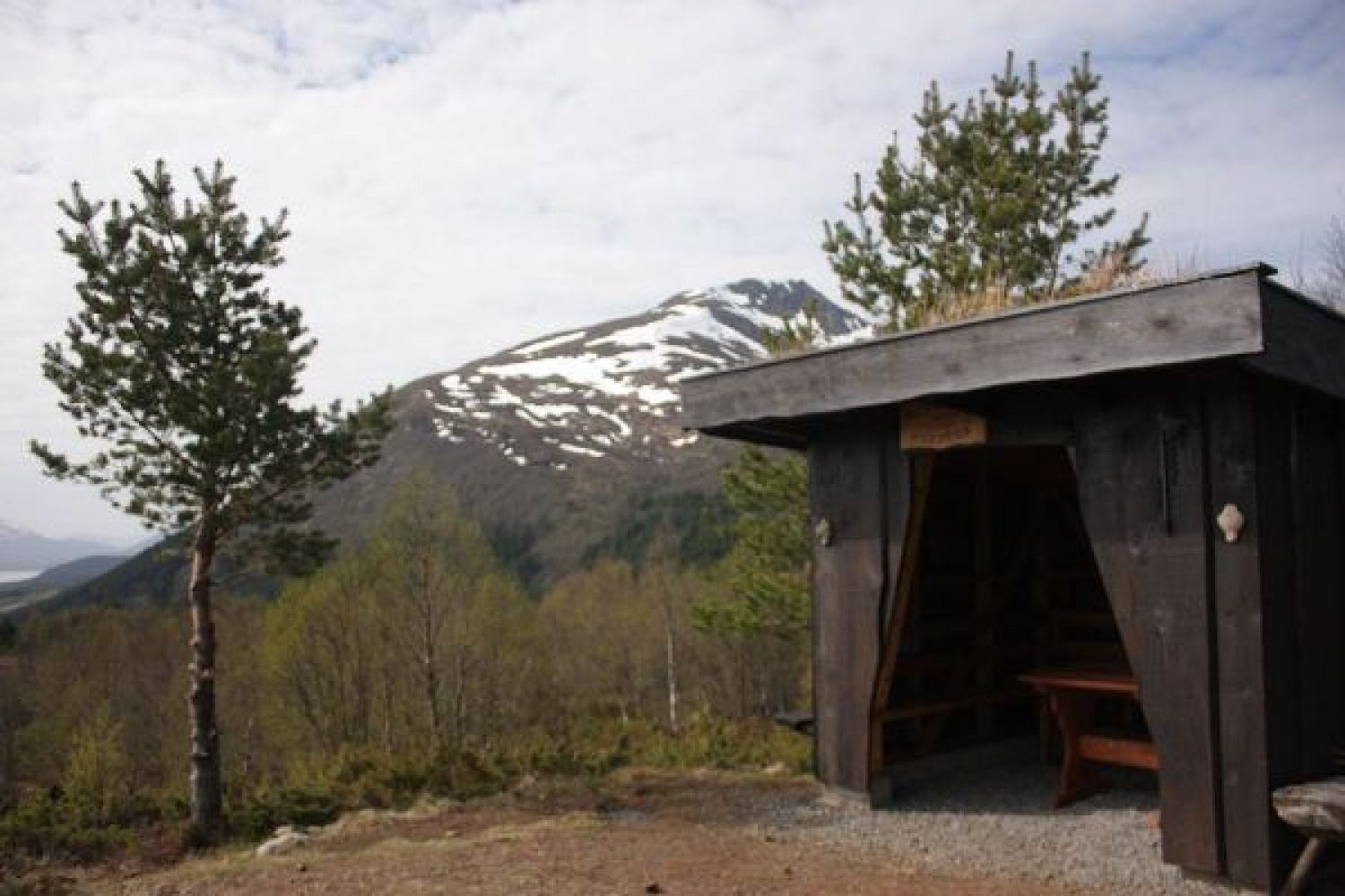
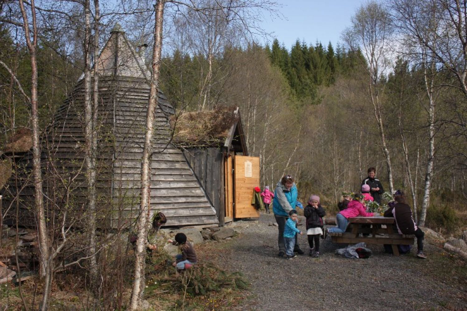
This nice trail is suitable for people of all ages. Families with children will especially enjoy the route. On the way up you will see a nice Sami hut built by the Meek school parents’ council. It is open to public on the condition that it should be left the way you want to find it when you come back. At the top of Hosetlia you will find the “gapahuk” shelter. From here you will get a great view of Krifast, Kristiansund Mainland Connection road system in Gjemnes, as well as the view towards Eide.
Route description
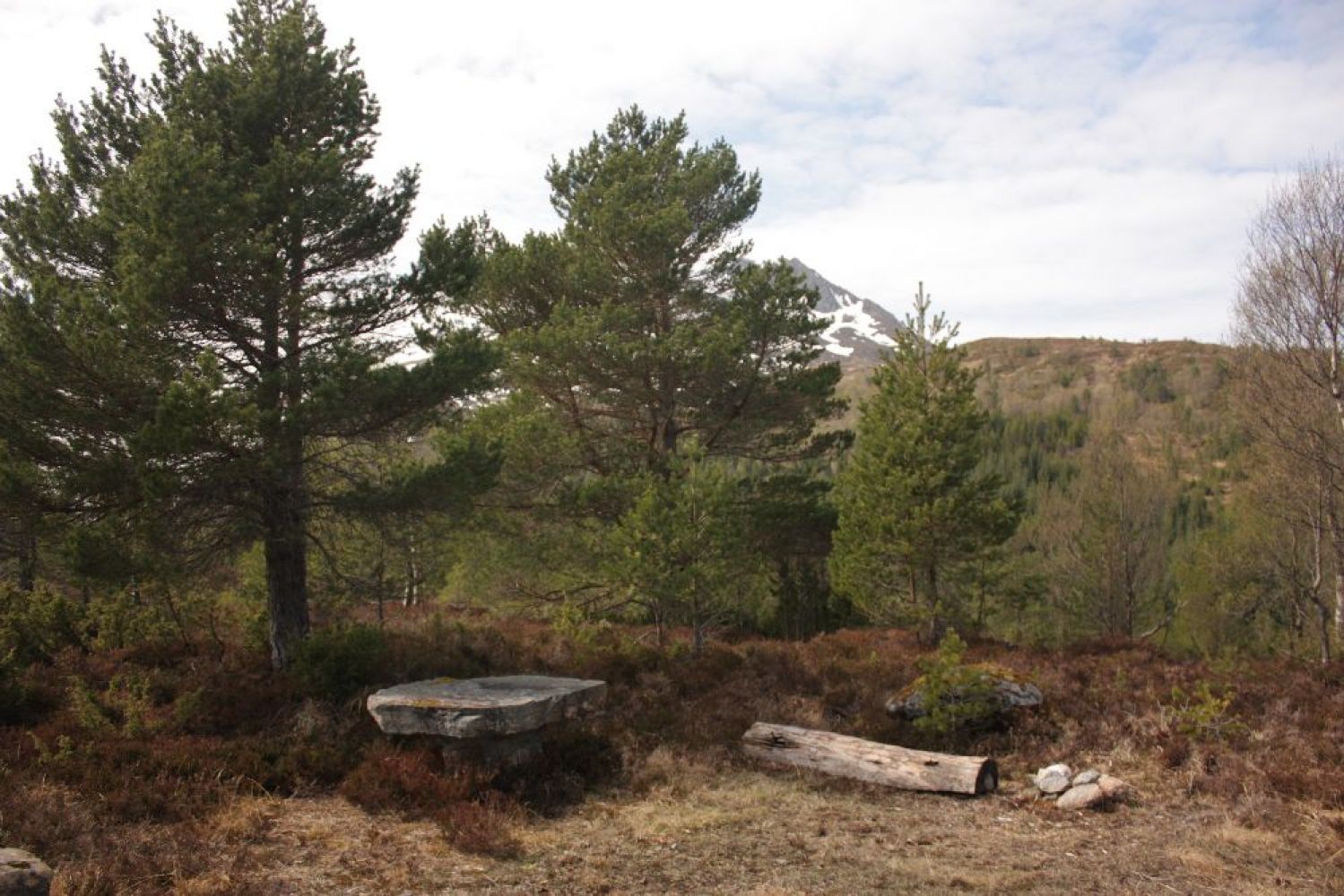
The trail starts from the Meek school / kindergarten on the inside of Averøy island. It is allowed to park your car beneath the kindergarten. From here, it takes about 45-60 minutes to go up. There is a good gravel road almost all the way up. The road changes into a path for the last couple hundred metres.From the car park: Turn left and follow the main road in the direction of Kvernes. Turn off the main road taking the second turn to the left. There are many nice stone fences along the first section of the trail. The way goes up to a couple of farm yards at first, then continues to the right heading to a small river with a bridge over it. Take a look at the bridge over the river. Turn left.On your left-hand side in the river you can see the remains of an old dam. There used to be a dam here associated with a mill in one of the farms a bit further down. The mill is no longer to be found these days. From here, the way continues up to the right. There is a good gravel road here. Follow the road until you reach the Sami hut. It is located on the right side of the road. Here is a perfect place to take a little break along the way.There is some signage after the Sami hut. Keep to the right side. NB! Just before reaching the top of Hosetlia you will come across a small rest area. Take another break here, the last one on your way up the hill.Then follow the first marked way (later turning into a path) on the right leading up to the trail journal. This means that you will have to walk off the road and follow the path on the right. Do not walk the gravel road all the way up.
Access and parking
The trail starts from the Meek school on the inside of Averøy island.
Drive along County Road 64 (Fv64) from Eide via the Atlantic Road (Atlanterhavsvegen). Once you are at the T-junction on mainland Averøy, take the turn to the right onto County Road 247 (Fv247) in the direction of Kvernes (the one to the left will take you to Bruhagen and to Kristiansund). Drive to the Meek school. The school and the car park are located on the left side of the road.
If you are driving from Kristianunsd, follow County Road 64 (Fv64) to Bruhagen. From Bruhagen there will be signs to Kvernes. Turn left and follow County Road 247 (Fv247) towards the Meek school. The school and the car park are located on the right side of the road.
The trail starts at the car park and climbs up the Hosetlia hill.
By the education centre in Meek. No parking fee applies.
Hiking route
Green
Distance
5,6 km both ways
Elevation
0 m
Duration
1 t. 25 min.
Mobile coverage
Map route
Surface type
Distance
Asfalt
1
Sti
0,25
Public transport
Yes. There is a bus connection to Meek via Bruhagen. Please see http://www.177.no. The bus stop is in front of the education centre in Meek.

 Driving directions
 Route data