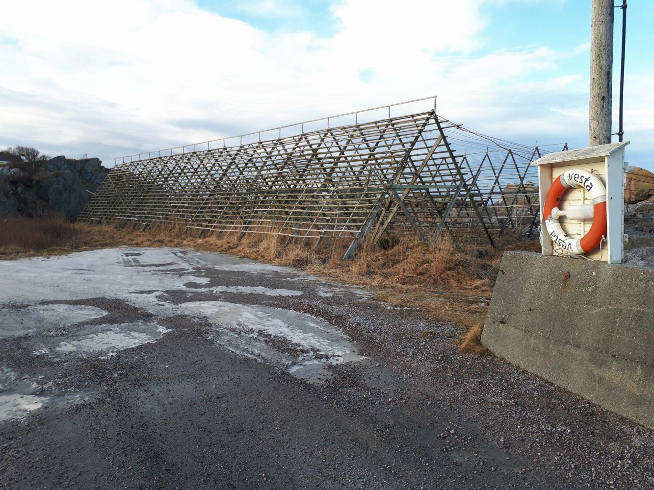
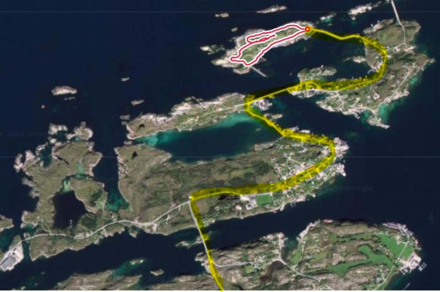
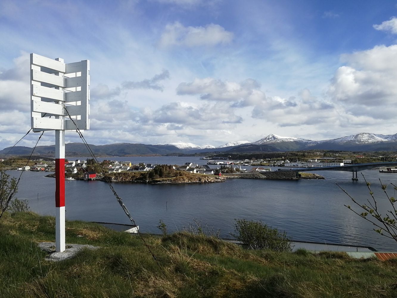
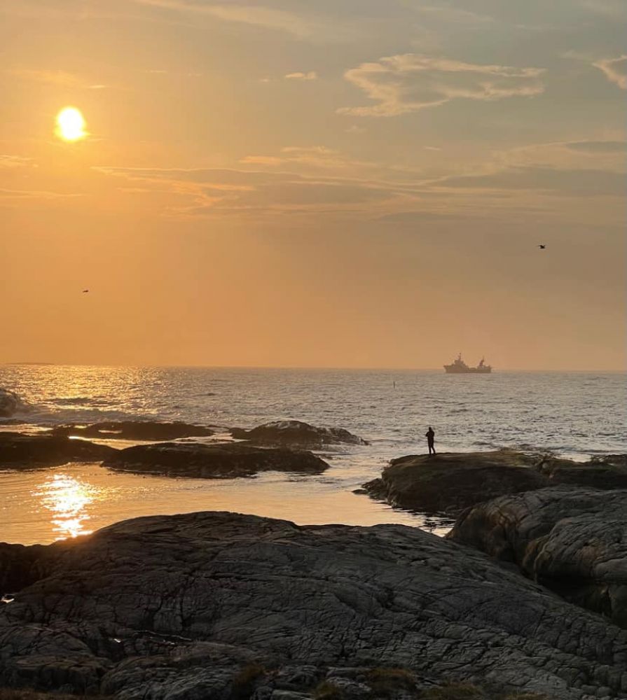
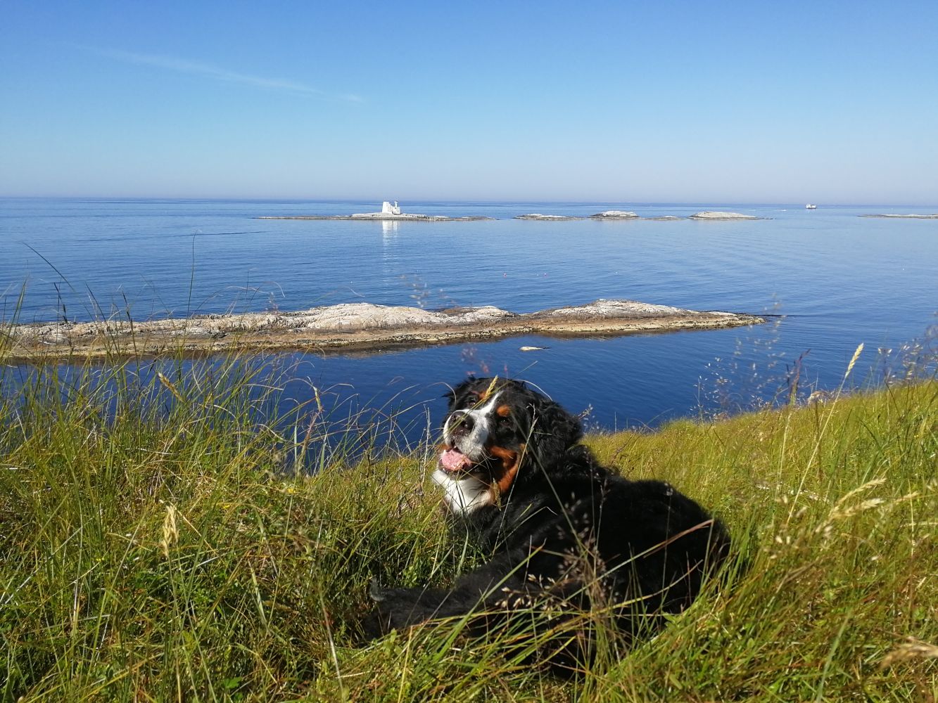
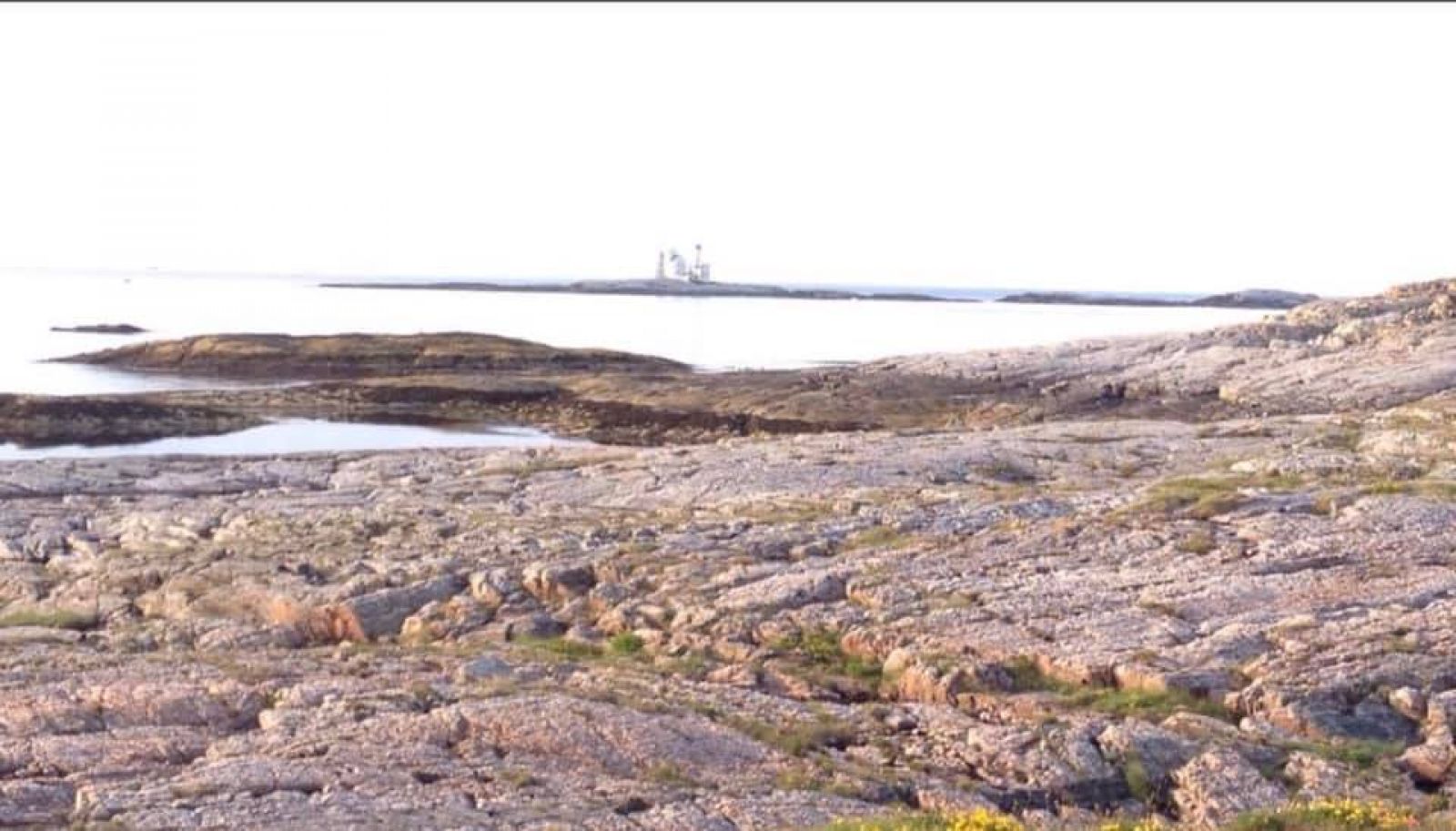
This spectacular trail passes through and around the island of Honningsøya and covers the outside of the island bringing you face to face with the forces of nature. Just a few metres away from the open sea and the Atlantic Ocean there is a path running between the cliffs and rocky outcrops, passing through some impressive potholes, smooth rock slopes and a wonderful little forest, and climbing up to the top of the island. Up there you will get a 360-degree view of the ocean, the Hestskjær Lighthouse and the islands of Kjønnøya, Ramsøya, Langbakken and Langøya.The trail would be a good fit for most of the StikkUT enthusiasts, but the complete route is not suitable for baby carriages and wheelchair users. Take your camera with you, enjoy a quick snack while sitting on a warm slope of smooth rock and take in the view of the islands resting on the horizon facing the waterway.------The starting point of the trail is at the car park to the right of the turnaround, if you are coming from the direction of the pier. The path starts near the fish drying racks also on the right. It swings back, goes into the stone fracture and up the small scree slope. Look for the red marks along the way. The path then runs through the back of the entire island partly going up and down along the way. Around the mid-part of the trail, where the path comes closest to the sea, you will come across a pothole and some small stones (do not remove the stones!). Follow the trail further until you reach the last fence pole (a bent rusty iron rod) on your left side. From here, you can start walking up the mountain cleft. Before you start going up, walk a bit further away until you reach the last fence pole. The place is marked accordingly. On your way up to the top you will come across a path which at certain points divides into several parts, all leading up to the top. Just before you reach the top, you will see the trail postbox to the left of the path. Make sure to continue further up until you reach the navigation mark to get a great view from the top. From here, you can also see many mountain peaks. On your way back, follow the same path to the place you started going up from. From here, walk down towards and past the old shed and follow the marked path in the direction of the south pier and back to the car park.

 Driving directions
 Route data