Honningsøya - Rotholman - Orøya - Forøya
Averøy
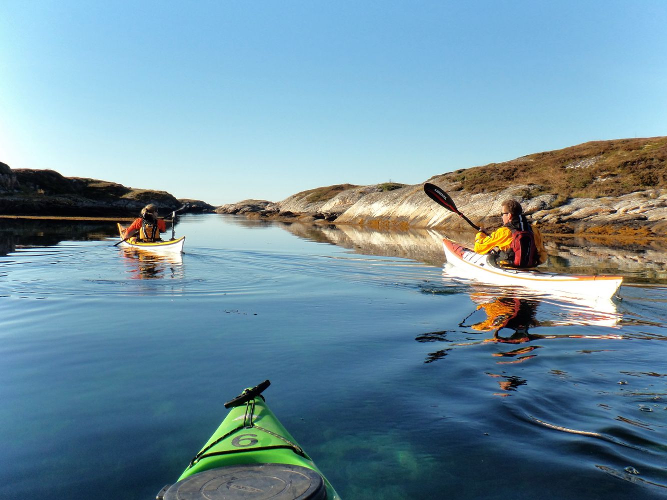
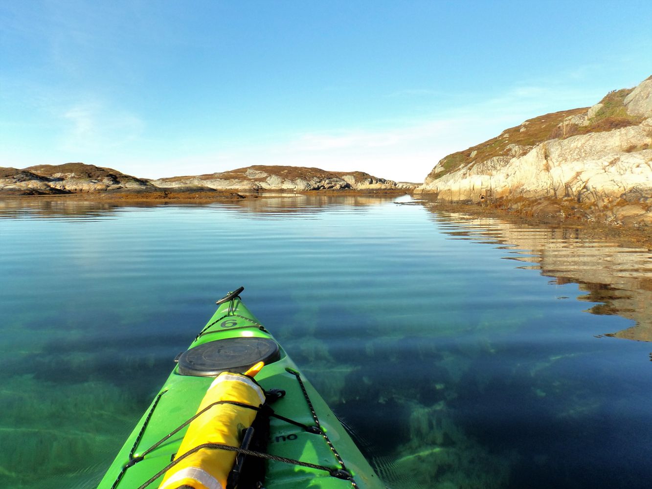
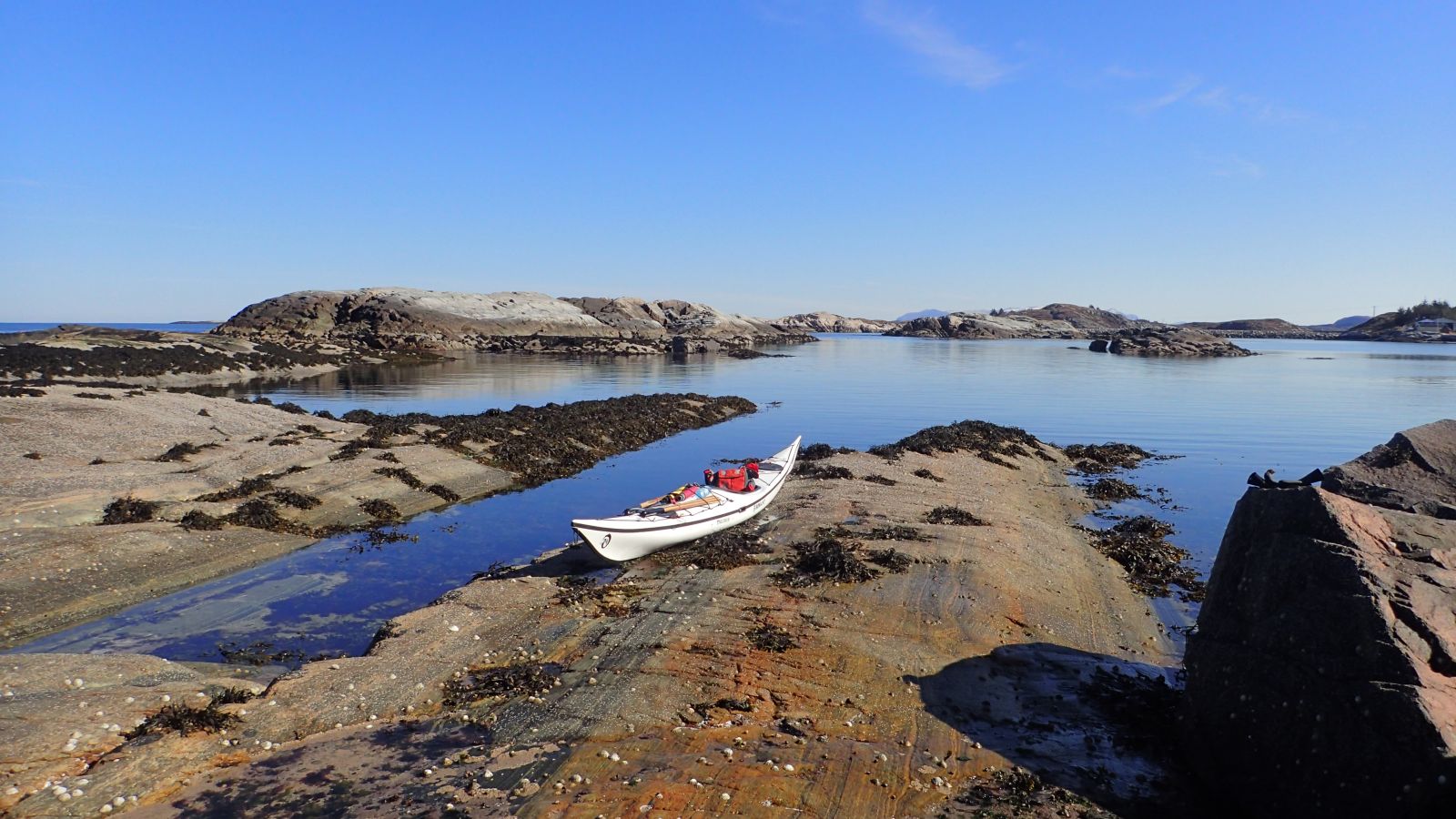
A beautiful route along one of the best paddling areas near Averøya. The route starts near the open ocean by the stockfish racks on Honningsøya. You can paddle out to the state-protected recreation areas of Rotholman and Orøya, which have good bathing options. You can then continue southward to the protected, lush and uninhabited island of Forøya before going back.
The route begins at the "Stikk UT!" parking area by the stockfish racks right after the breakwater out to Honningsøya. There you can view the white queen of Averøy, Hestskjæret lighthouse, just a kilometre further north. This is a pleasant and relatively sheltered area to launch from the sloping rock on the outside of the breakwater, but when the water is high, there may be some swells and rough sea. From here, the route continues east to the inner side of the Sørdraga islets. At the north end of the quarry on the route to Ramsøya is a bridge you can paddle beneath. On Ramsøya, you can rent holiday houses on the wharf by the water. Pass along the southside of South-Ramsøya and turn north in the sound before you come to North-Ramsøya. You'll then see the islands that comprise "Rotholman" while heading north. There are a few narrow passages where it may be fun to paddle around and explore.
You will now paddle southeast to a lagoon with a sandy bottom at Orøya, where you can swim, have a bite to eat, or practice rescue techniques for yourself or with a friend. In the innermost part of the lagoon, you can paddle southward. If you cross towards Stavneset at Ekkilsøya and paddle along land, you can then cross in a westerly direction to the island of Forøya, where you can have a good look at the nature in the area.
In 2022, a floating dock was completed with a kayak platform in the bay on the east side of Orøya, where the best tent spots on the island are located.
On the east side of Forøya there is a floating dock below a lage grass field where you can pitch a tent. There is also a campfire pit down by the water past the floating dock. From the floating dock on Forøya, set a course in a southwest direction through the sound before crossing the fjord in a northwest direction back to Ramsøya, and from there, to Honningsøya. The fjord crossing is about 1 km in length in a fairly open area. There are no swells here, but the wind can be quite strong, so make sure to check the weather reports.
This route can be adjusted and changed according to the weather and conditions. You can also park and launch from Stangarodden on the north side of Ekkilsøya.
Parking in the marked area for the "Stikk Ut!" route on Honningsøya. This is by the stockfish racks on the right side when you come over the breakwater to Honningsøya. Do not park on the left side of the road, as this is the space for buses to turn around.
You can also start the route by Stangarodden, northwest of Ekkilsøya, but it is a bit steeper down to the water. There are signs for parking and camping in the area before you reach the docks. You can also take a bus here. Do not park in the spot for buses to turn around.
Duration
2 t. 20 min.

Sesong
Spring, Summer, Autumn
Signage
No signage or markings
There are buses to Honningsøya. Padleturer.no provides rental kayaks on Averøy.
The route leads through an area without swells, but the crossing between Ramsøya and Forøyene islands is fairly open and there may be strong winds here.
Orøya, Rotholman and Forøya are now state-protected recreation areas.
About 50 years ago, Forøya was a fertile and pleasant plot with potato fields, fruit trees and berry bushes. On the island there were two houses, as well as a barn, outhouse, boathouse, well, dock and a shed.
One of the houses was moved to Henda in May of 1965 by transporting it across the fjord on a raft of 110 empty oil barrels.
Molde-Kristiansund TOPO 3000 trail map
 Driving directions
 Route data
GeoJSON