Holtafjellet (610 m a.s.l.)
Gjemnes
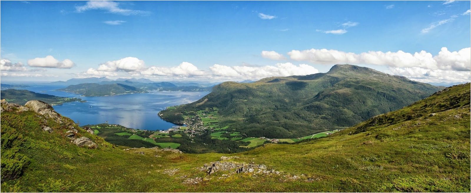
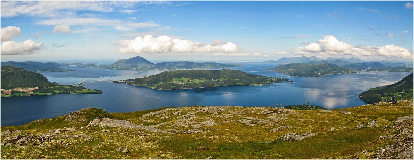
This is a nice and easy trail which will quickly take you up to the mountain area where you will be rewarded with a fantastic view.
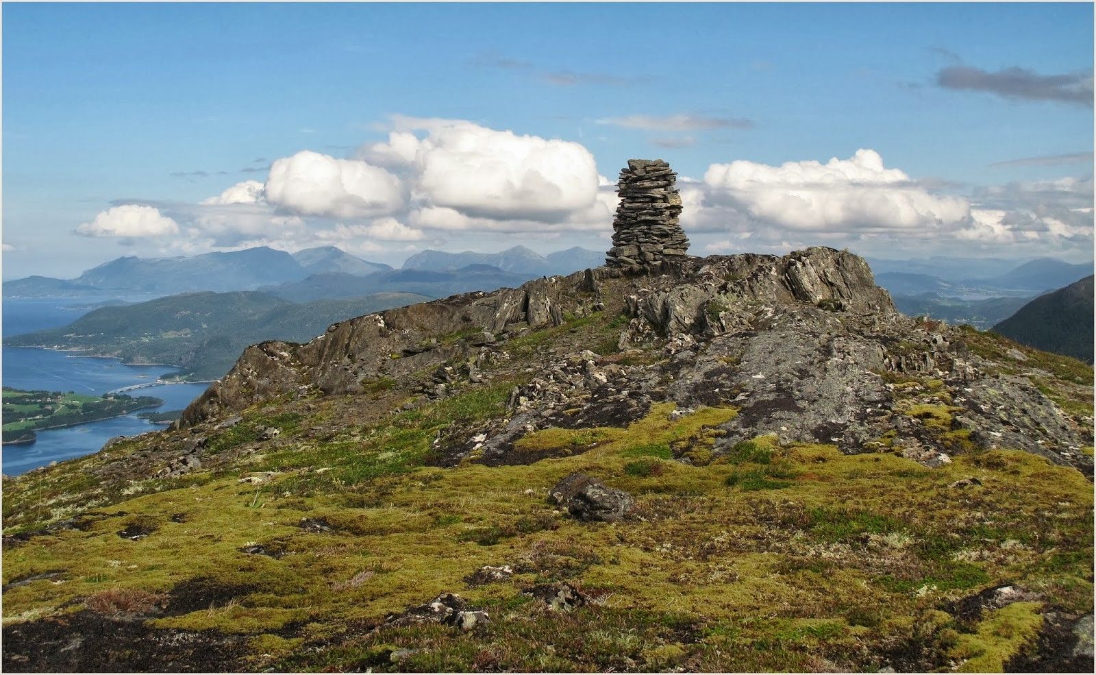
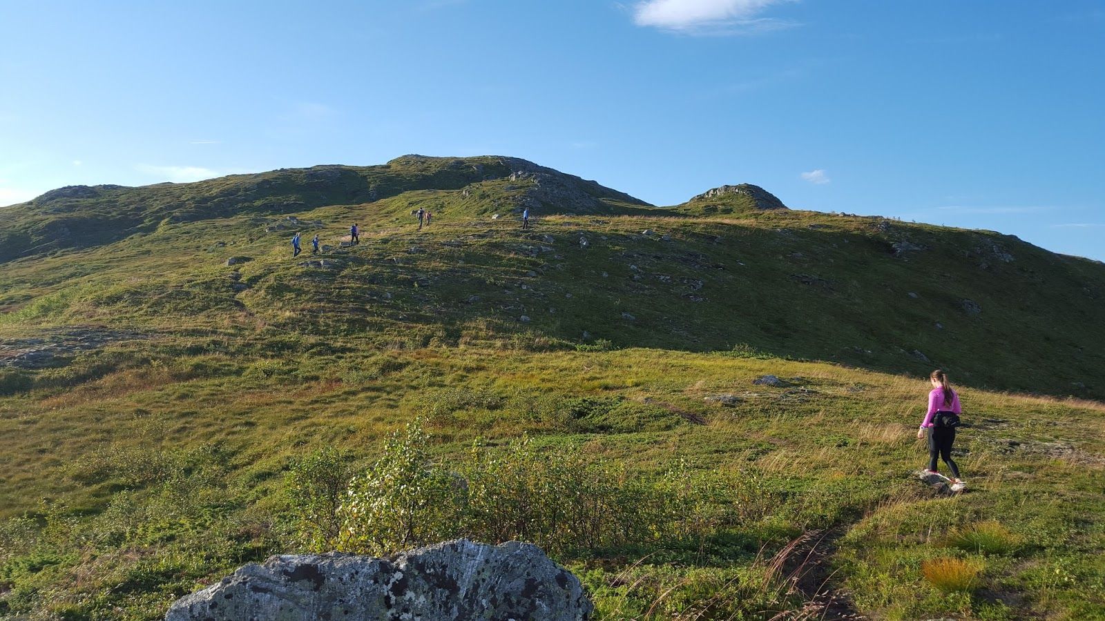
The trail starts from the car park at the timber stacking area just off the bridge across the river that flows out of Lake Torvikvatnet. Follow the sign to Holten. Walk for 1.1 km along the gravel road and turn left following the forest road as it swings up in the direction of Mount Holtafjellet. The forest road continues up to Holtasetra and then changes into a good path. Carry on following the path as it takes you up above the tree line. Certain sections of the path can be a bit unclear, but if you continue walking up, you will soon see the cairn at the top.
The trail destination is at the cairn at the top of Mount Holtafjellet. There you will find a trail postbox and a journal.
Drive along County Road FV289 from Torvikbukt up the Torvikdalen valley until you reach Lake Torvikvatnet. The distance from County Road FV666 is about 1.8 km.
If you are coming from the direction of Heggem / Angvika, turn off FV665 in Øyskiftet and follow FV289 for 7.3 km down to Lake Torvikvatnet.
Car park near Lake Torvikvatnet (timber stacking area just off the bridge across the river that flows out of the lake — this is agreed with the landowners).
Duration
3 t. 15 min.

Sesong
Spring, Summer, Autumn
| Surface type |
Distance |
| Sti |
5 |
Norge map series, Kristiansund.
 Driving directions
 Route data
GeoJSON