Holmemdalen from Skorgedalen
Rauma
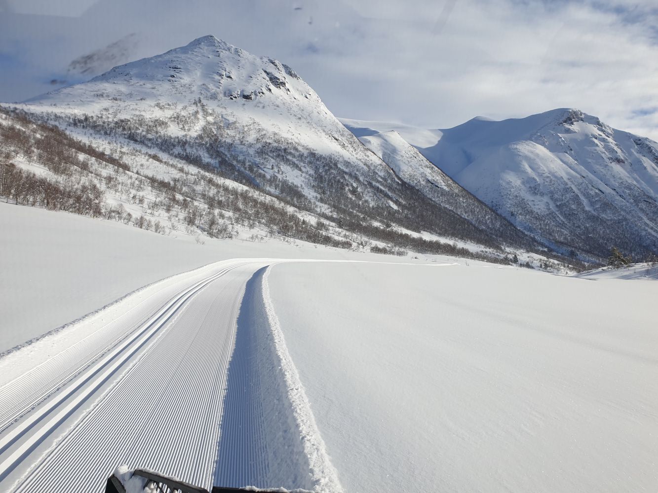
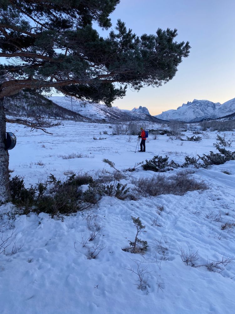
The trail to the Holmemdalen Valley starts at the car park in the Skorgedalen Valley. It follows the ski track up to Lake Selsetervatnet with a gapahuk shelter and a barbecue place and continues through relatively flat terrain into the Holmemdalen Valley.
The trail starts at the uppermost point of the car park in Skorgedalen. Follow the sign for Lake Selsetervatnet. The trail runs further past Selsetra and along the right side of the lake into the valley. It is a relatively flat ski trail. Once you reach the trail postbox, you can extend your trail up to Næsskaret on your right or towards Holmemdalen on your left. Follow the same route back to the starting point or go over Næsskaret to Lake Herjevatnet and Nysetra. You can continue further around Smørbotnen.
Turn off from the main road E136 in Skorgen and follow the toll road up to the car park in Skorgedalen.
Duration
1 t. 5 min.

Mobile coverage
Partially
| Surface type |
Distance |
| Preparert med tråkkemaskin |
7 |
The trail is only accessible by car.
 Driving directions
 Route data
GeoJSON