Høgfjellet in Gyl
Tingvoll
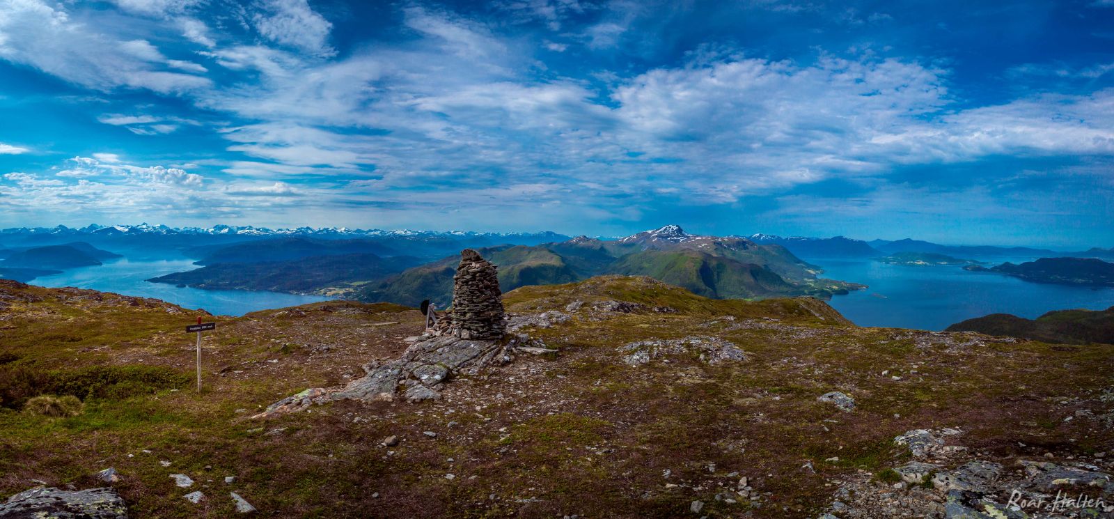
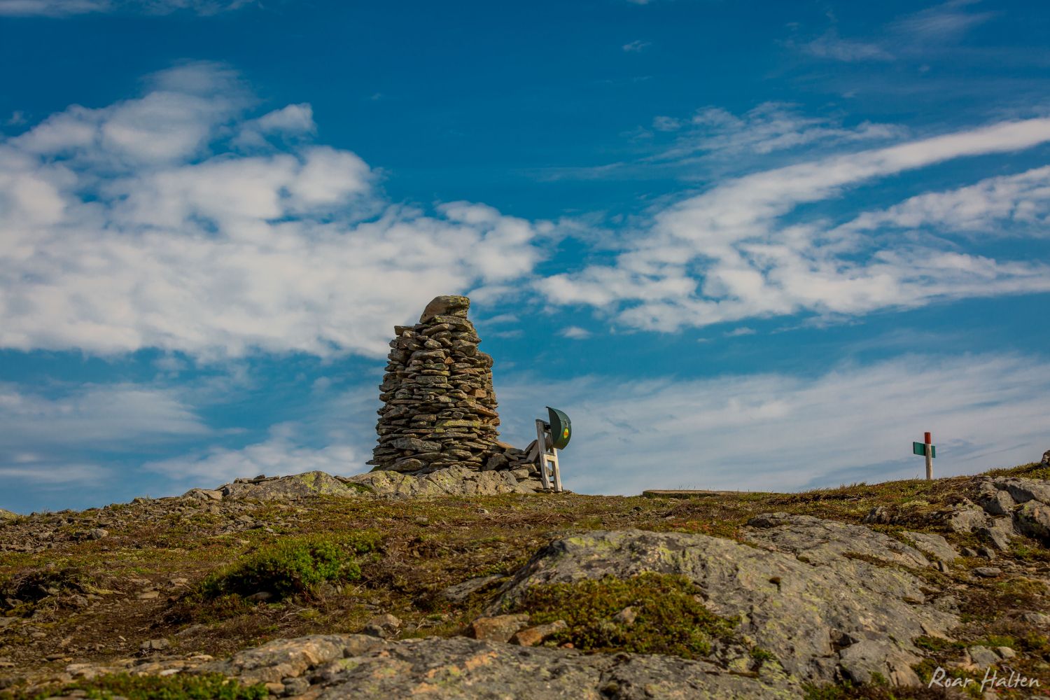
This is a steep and moderately challenging trail to the top of the highest mountain in the outermost part of Tingvoll Municipality. Mount Høgfjellet reaches 689 metres above sea level. With the start at about 30 metres above sea level, this trail offers a fantastic view from the top.
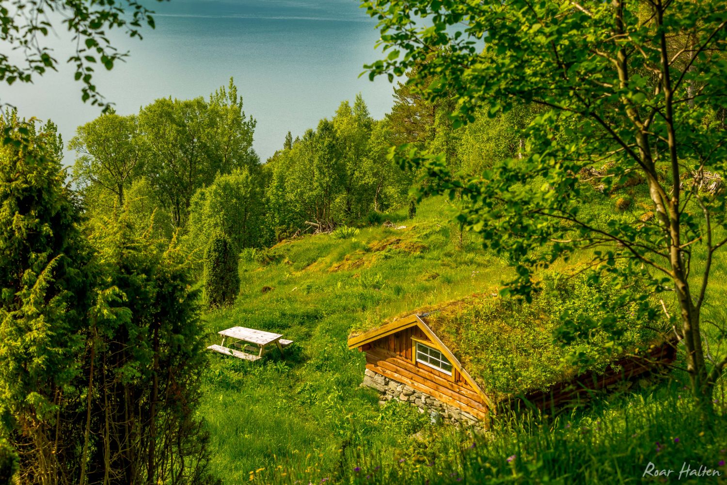
The path up to the Hammarsetra summer mountain farm is well defined and partly waymarked. From Hammarsetra, the path continues behind the farm. The path splits after about 100 metres, and this is where you can easily go the wrong way. You need to follow the path that goes to the left in the direction of Gammelvetten. From Gammelvetten, the path climbs up quite steeply and follows the ridge to the top of Mount Høgfjellet. On your way down from Høgfjellet, you can walk to the southwest. Once you come down to a flat area, continue walking to the southeast. If you follow along the hillside you will reach the path in Hammarsetra.
Drive along National Road 70 (Rv 70) between Krifast and Gyl in Tingvoll Municipality. About 200 km west of the Vulvik Tunnel, you will find a car park on the right side of the road. You will see a sign marking the start of the trail near the car park.
It is also possible to start the trail from Kannsdalen and walk up to Hammarsetra.
There is a marked car park near the Vulvik Tunnel. We recommend driving 100 metres further and parking along the large side lane.
Distance
5,3 km both ways
Duration
3 t. 5 min

Sesong
Spring, Summer, Autumn
Signage
Both signed and marked
| Surface type |
Distance |
| Sti |
5,3 |
Nettbuss bus routes 901 and 902 go through the starting point of the trail.
http://www.177mr.no
You will walk through the Gylhamran nature reserve at the start of the trail. This protected area is home to the temperate deciduous forest that has municipality’s richest selection of species.
Høgfjellet på Garmin Adventures
 Driving directions
 Route data
GeoJSON