Høgenipa, route 45 – from Syvde to Høgenipa
Vanylven
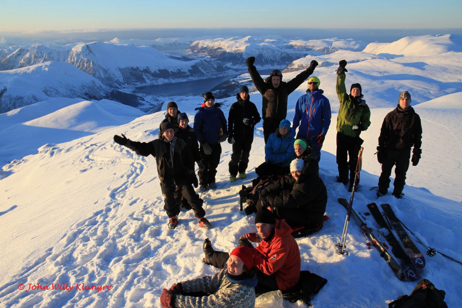
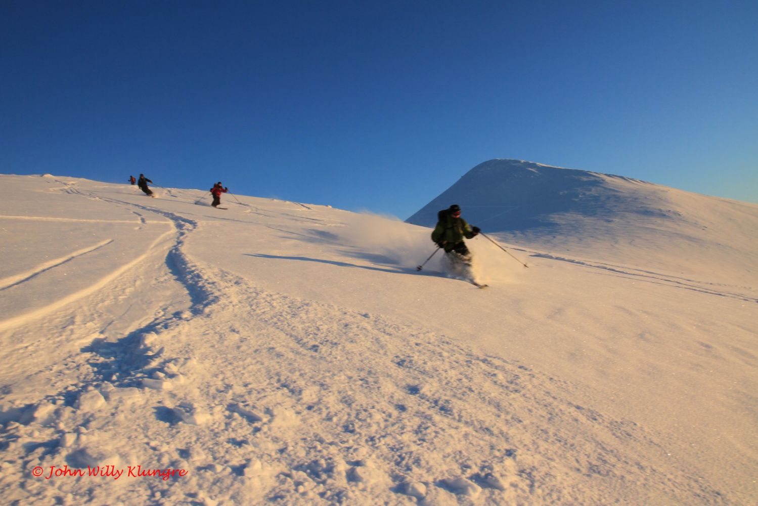
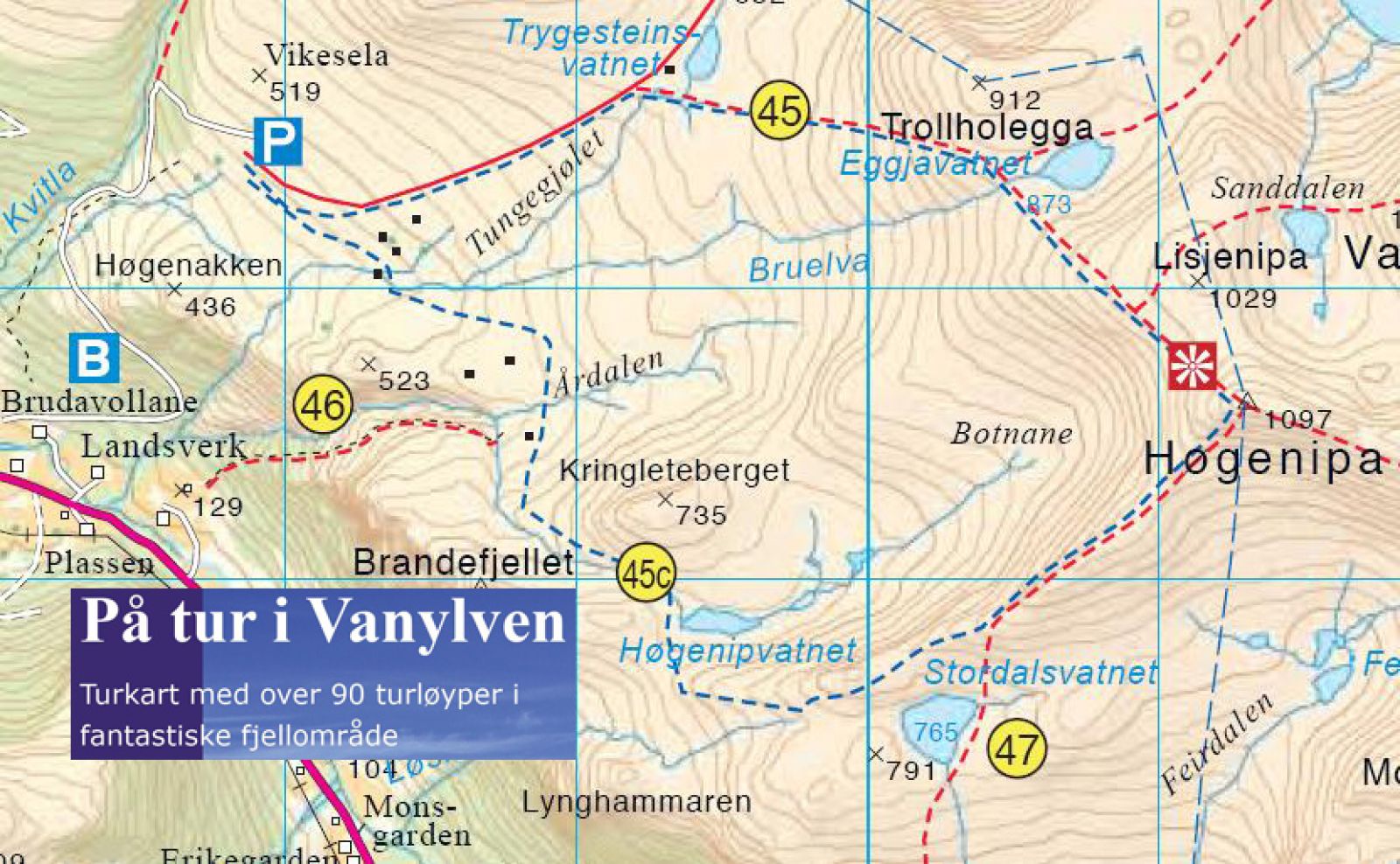
This ski trail takes you to Høgenipa, the third highest mountain in Vanylven Municipality that rises to 1097 m a.s.l. As seen from Syvde and other villages in Vanylven, Høgenipa is a pyramid-shaped mountain. It is also one of the most well-known mountains in the municipality. This trail is a good fit for those who want to ascend to the top with climbing skins and ski downhill afterwards. The trail destination offers an amazing view to the north, west, and south. There are several alternative routes to the top of Høgenipa. The most common one is northern route 45. It can sometimes be cold and icy on the last section up to the top. Southern route 45c ascends the south side of the peak, where it is often less icy than on the north side. Trygesteinen: 653 m a.s.l. – decimal degrees 62,10343 5,82498. Høgenipa: 1097 m a.s.l. – 32 V 336299 6888610 decimal degrees 62,04390 5,86407
Depending on the snow conditions, you can start this ski trip either from the top of the toll road or further down that road. In the middle of winter, the most common starting point is at the very bottom of the toll road. The toll road begins in Landsverk. Turn off to Nordal a couple of hundred metres north of the centre of Syvde. Drive along the valley and turn left over a bridge after 2.3 km. Turn left just after the bridge and drive for 200 metres until you reach the beginning of the toll road. From the top of the toll road, go east in a relatively straight line and begin turning southeast as you approach the top.
The start of the toll road: 82 m a.s.l. – 32 V 332229 6888464 decimal degrees 62,08738 5,78478
The end of the toll road: 398 m a.s.l. – 32 V 332635 6889327 decimal degrees 62,09616 5,79213
Toll fee: NOK 30
Park your car at the end of the toll road.
Skiing route
Red fjellski
Duration
4 t. 0 min

Hiking map: På tur i Vanylven (Eng. Hiking in Vanylven) – can be purchased at local shops and petrol stations in Vanylven Municipality.
 Driving directions
 Route data
GeoJSON