Høgeheida Loop Trail – (parts of route 54) – from Kilebrekka to Øverberg via Høgeheida
Vanylven
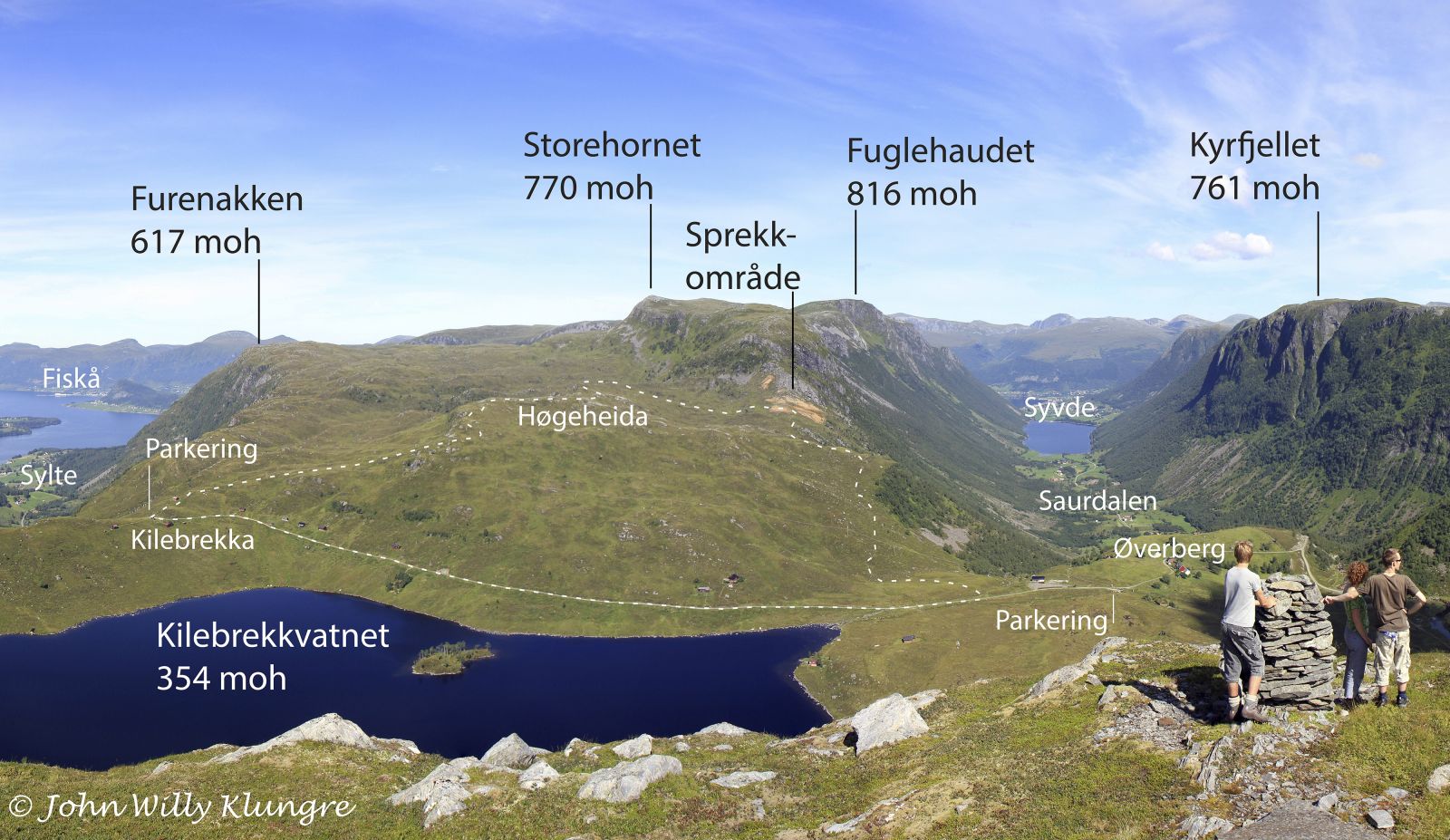
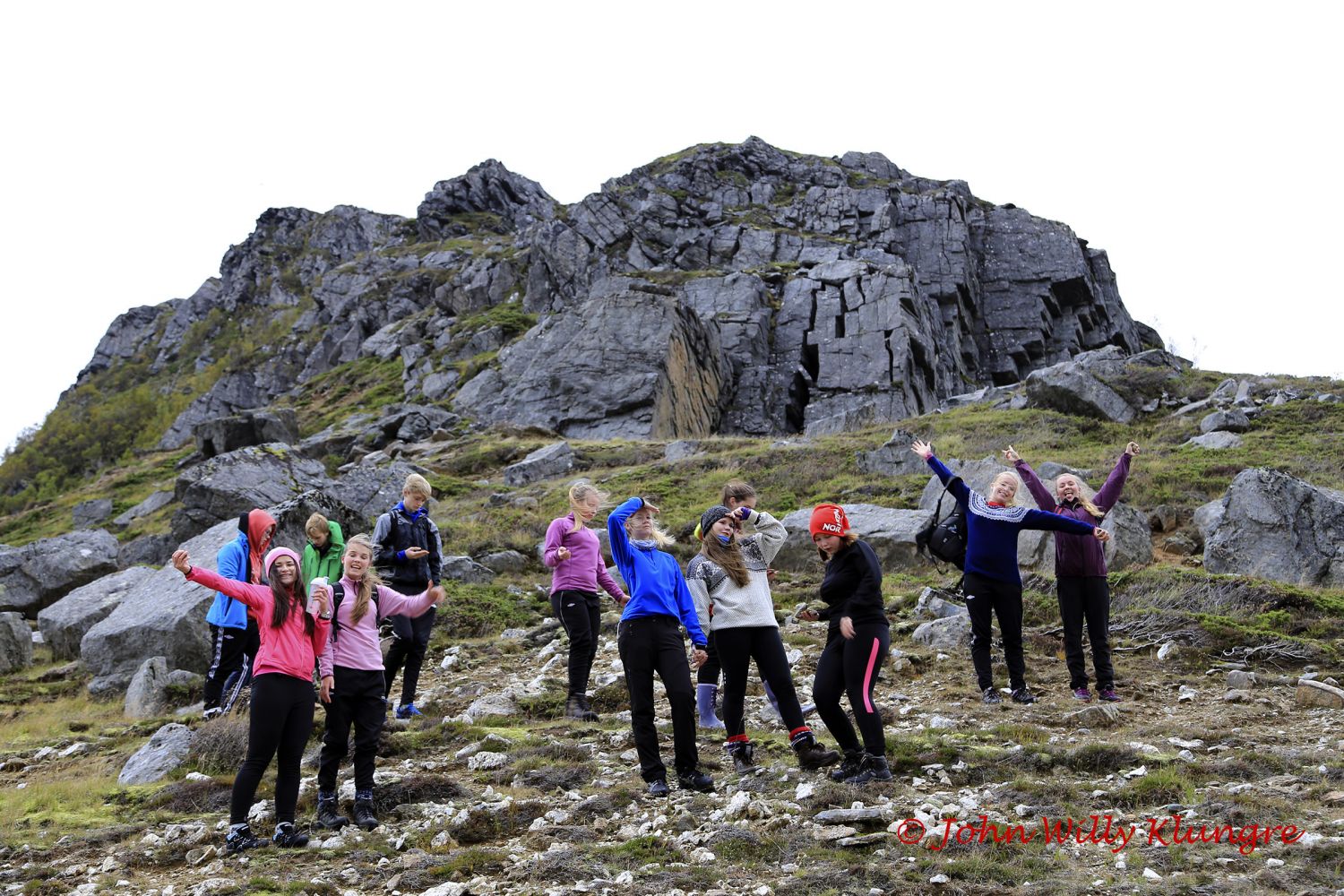
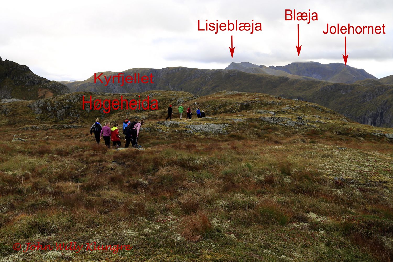
This trail is fairly easy and therefore suitable for all age groups. It takes about 1.5 hours to complete it with a normal walking speed. The entire trail follows either a path or a road, and the surface is solid and easy to walk on almost the entire time. To get children interested in this hike, you can promise that they get to swim in a small pond, look for rare stones in an olivine field and look at large cracks in the mountain in the southern end of the mountain fissure area on the western side of Saurdalen. From Høgeheida, you will get a view towards both the ocean and the Stadt Peninsula in the west and the highest mountains of Vanylven Municipality in the east.
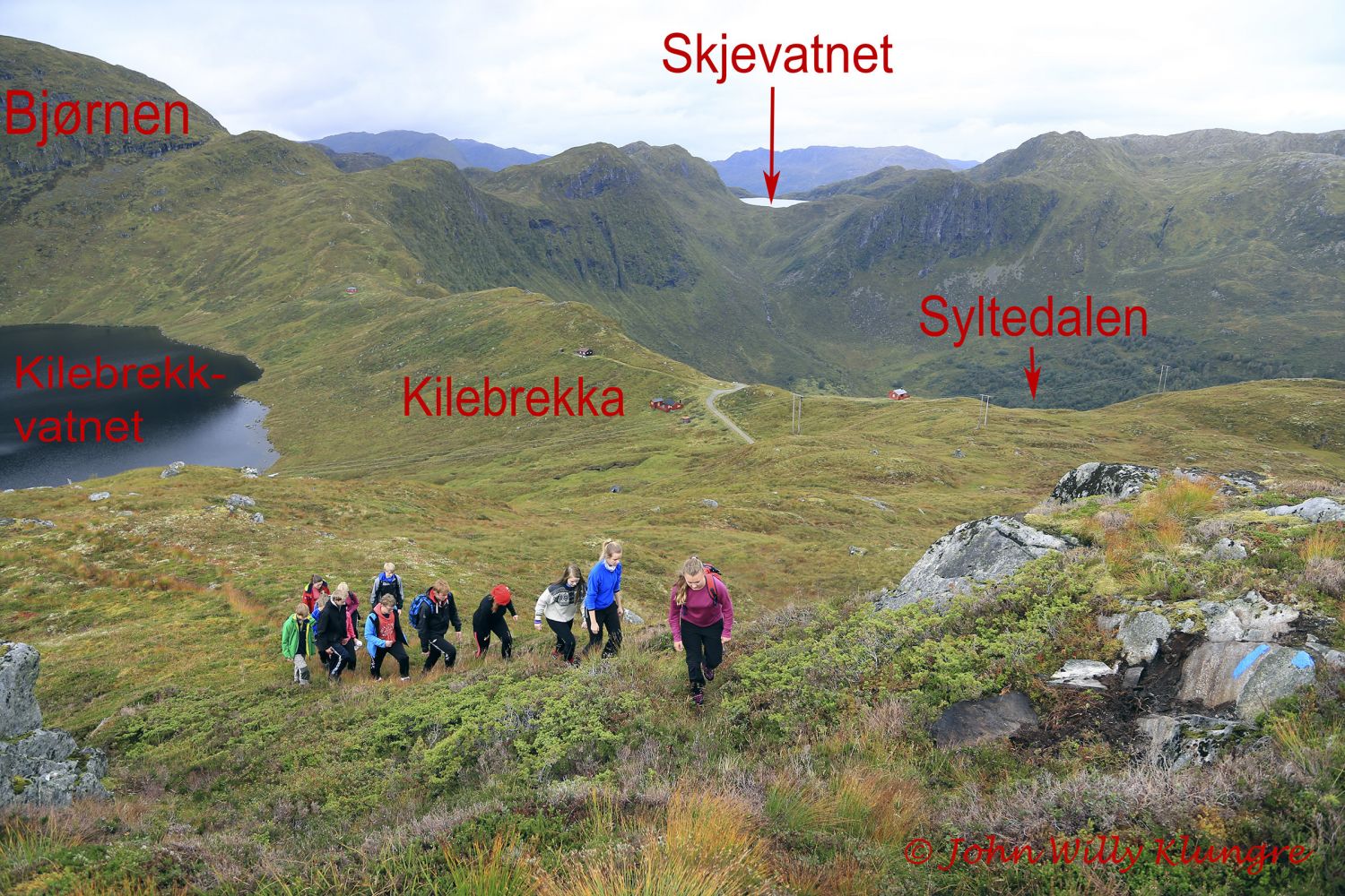
The starting point of this hike can be either Øverberg or Kilebrekka. The GPS file below has the starting point in Kilebrekka and so does this trail description. The trail starts at the highest point of the road between the two valleys, Saurdalen and Syltedalen, which is easy to find. Both starting points in Kilebrekka and Øverberg are signposted.The path begins at the highest point of the road between Saurdalen and Syltedalen. The starting point is signposted, and the entire route is marked with blue waymarks. Although the first section of the trail runs uphill, it is relatively easy to walk because the path primarily covers the areas of smooth rock which are incredibly fast and easy to walk on. As you walk further up, the terrain will flatten out and you will reach a heathland. Soon after you pass the highest point of the path, you will come across route 54 and see the sign for Øverberg. There is a small lake called Raudegrødvatnet near that sign where you can take a dip. On your way down to Øverberg, you will walk through an area of red olivine sand. This sand is ultrabasic, which means it has a very high pH value, making it extremely difficult for the plants to grow. This is why there is very little vegetation in this sand area. Due to little vegetation, it is very easy to look for unusual stones in the area which is otherwise dominated by gneiss. If you walk north just above the area of red sand, you will reach the southern part of the mountain fissure area that stretches along large parts of the western side of Saurdalen. You can quickly approach these mountain fissures, but please remember that the area is not completely safe, so keep distance to the fissures.
The best way to get to the starting point of the trail is to drive from Syvde up to Øverberg or Kilebrekka through the Saurdalen Valley. You will see the sign for Saurdal in Syvde.
Duration
1 t. 35 min.

Sesong
Spring, Summer, Autumn
Signage
Both signed and marked
Mobile coverage
Partially
| Surface type |
Distance |
| Grus |
1 |
| Sti |
3 |
Hiking map: På tur i Vanylven (Eng. Hiking in Vanylven) – can be purchased at local shops and petrol stations in Vanylven Municipality.
 Driving directions
 Route data
GeoJSON