Høgbergura, Bergsøya
Gjemnes
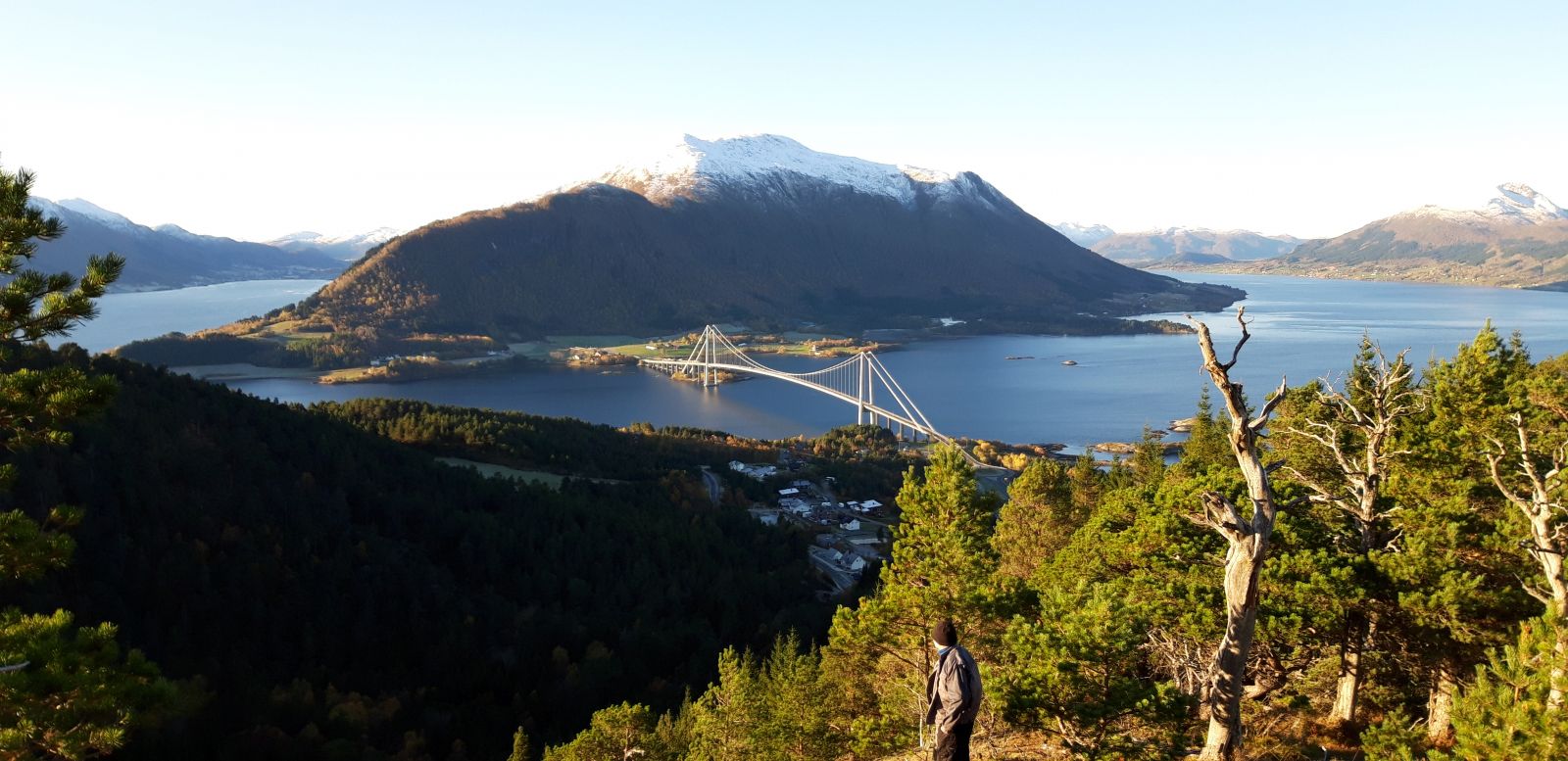
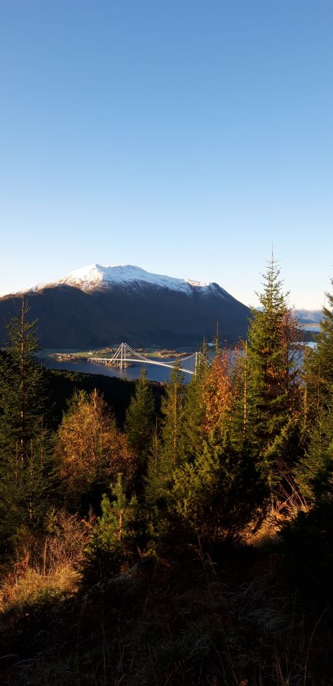
This trail follows a road and a tractor road. The final section is quite steep and may be a little strenuous, but you will be rewarded by a scenic view of the Freifjorden over to Gjemnes, Averøy, and Frei.
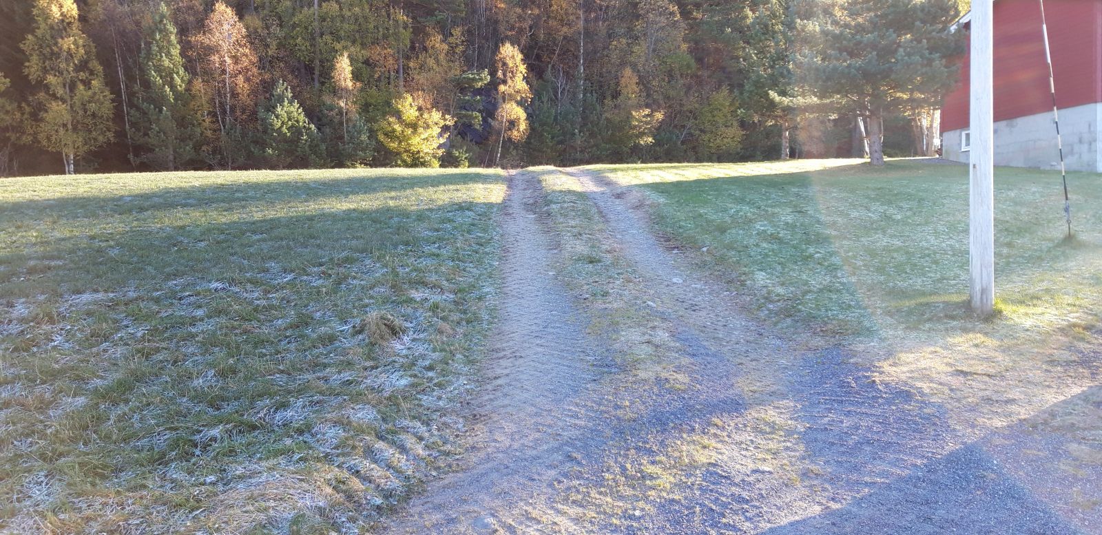
The trail starts at Bergsøya Daycare Centre. Walk back to Road 6112 and follow it for about 500 m to the left. After you pass the Fredly farm, turn right and follow the tractor road. Walk up the hill and keep to the left/straight ahead at the intersection. This tractor road follows a long uphill slope, a nice opportunity to test your endurance. At the end of the tractor road, you will see a path branching off to the left towards the viewing point and the trail postbox. Follow the same route back.
Park your car by Bergsøya Daycare Centre. Turn off E39 near Jelkrem. Turn left at the T-junction and left again after about 50 m. The daycare centre will be on your left. For a longer hike, park your car by the Gjemnessund Bridge and cross the road under the bridge to the right. Go right again and continue walking under the main road. Then walk up through the residential area until you reach the daycare centre.
Duration
1 t. 25 min.

Sesong
Spring, Summer, Autumn
| Surface type |
Distance |
| Asfalt |
0,5 |
| Grus |
1,2 |
| Sti |
0,1 |
Bus 100 between Kristiansund and Molde stops by the Gjemnessund Bridge on the island of Bergsøya.
 Driving directions
 Route data
GeoJSON