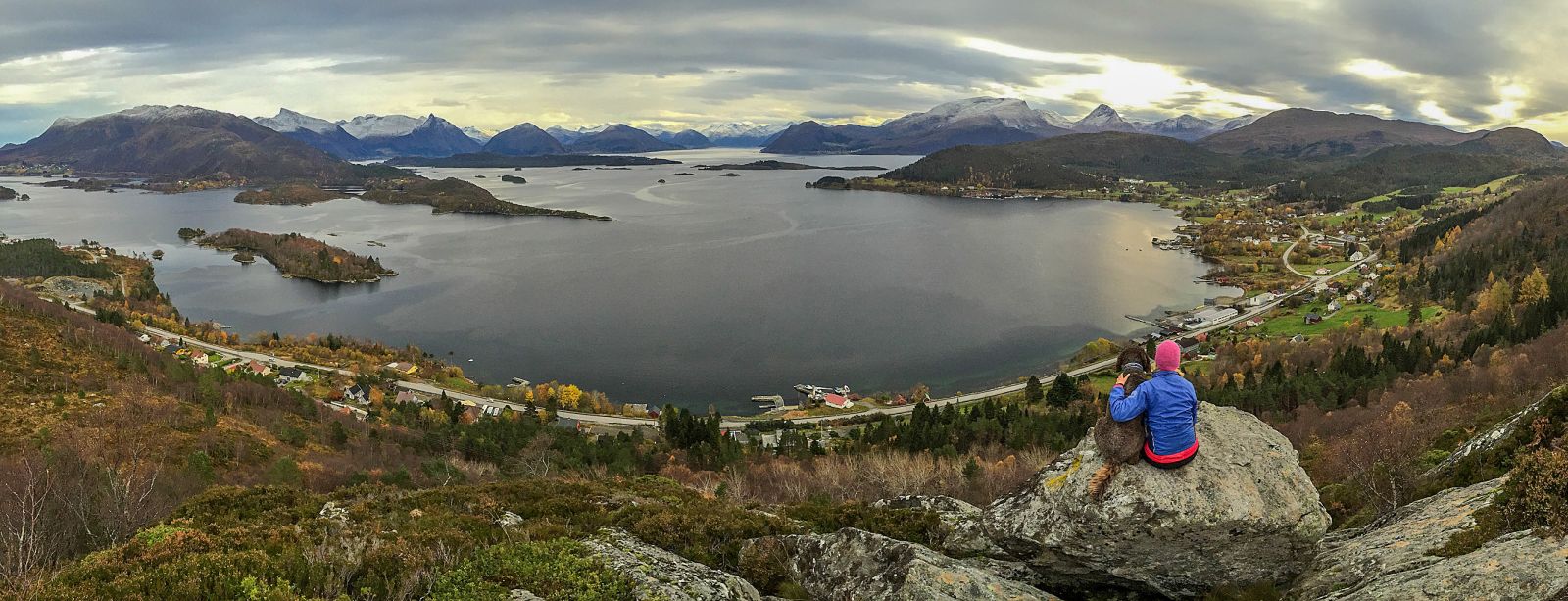
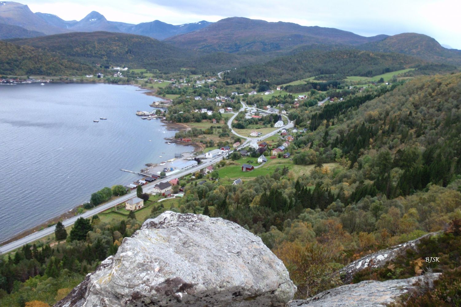
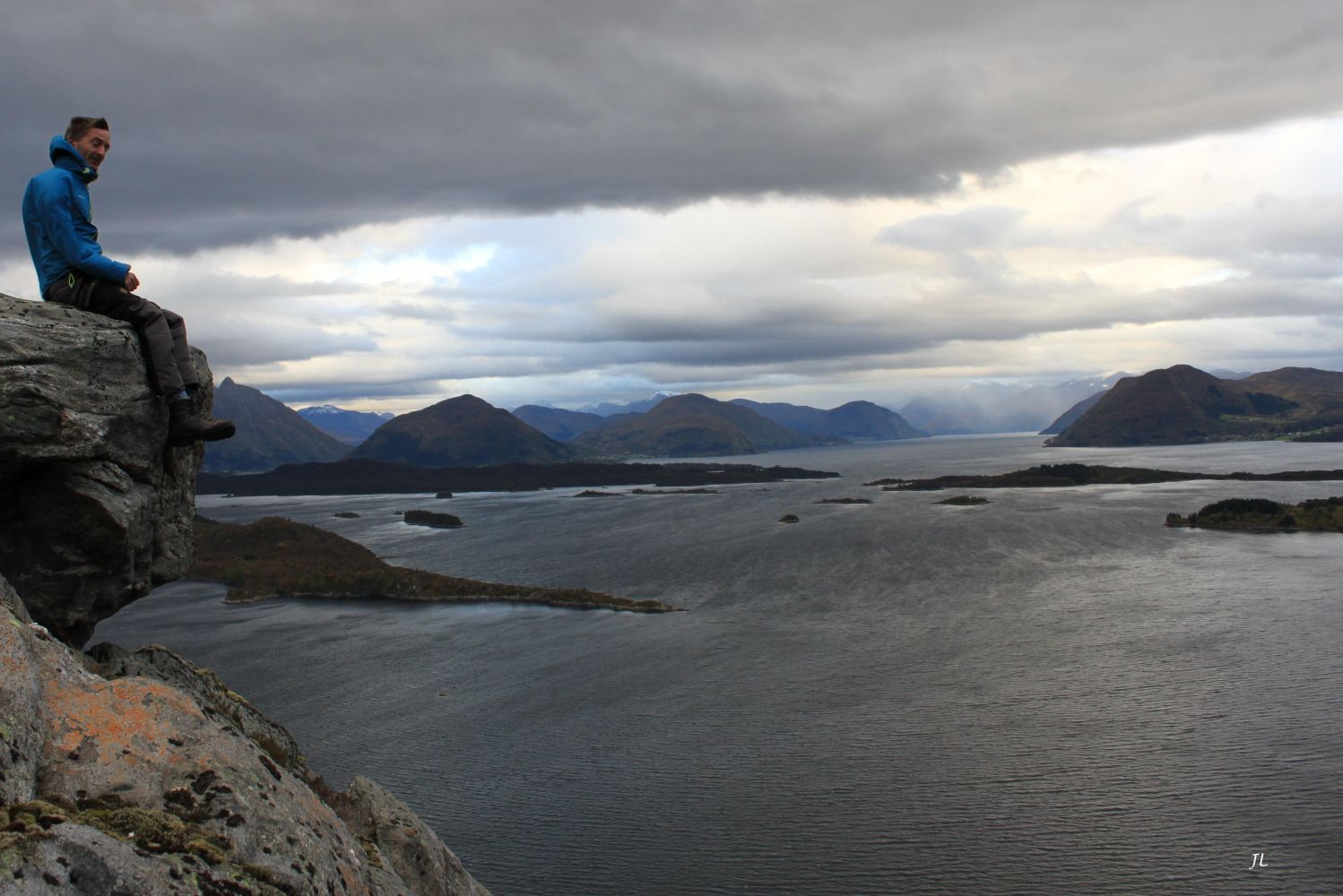
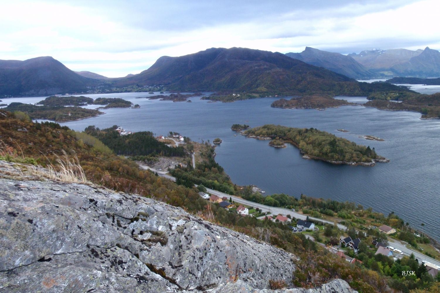
Hillehornet rises above Nykrem offering a scenic view of the village of Leikong. You will also have a view over the fjord and the Sunnmørsalpane mountain range. The Gurskøy Sports Association (Gurskøy IL) operates a trail postbox at the top of Hillehornet.
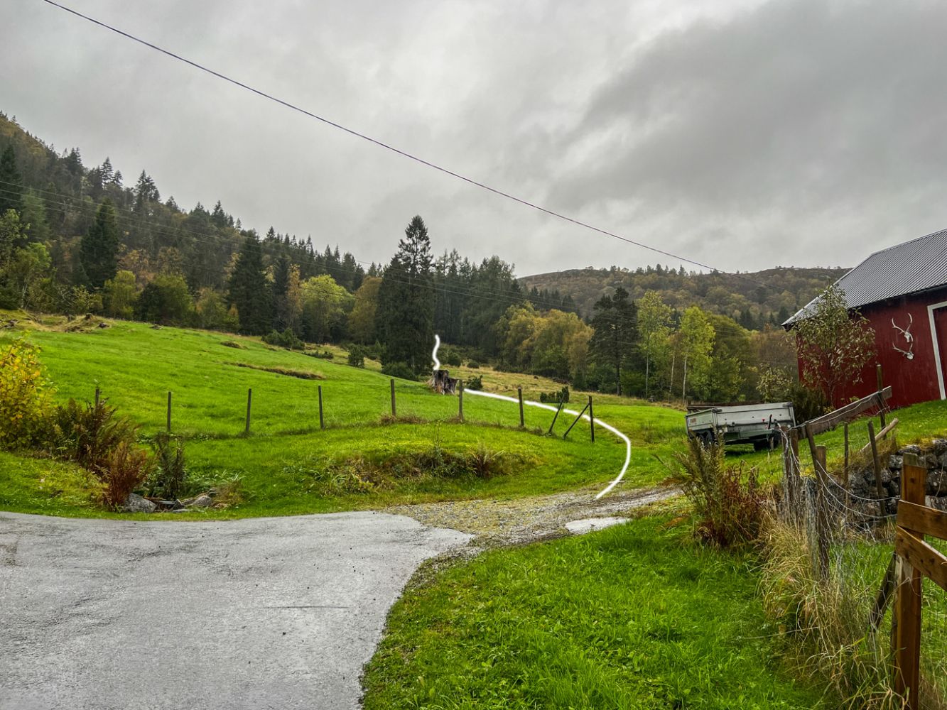
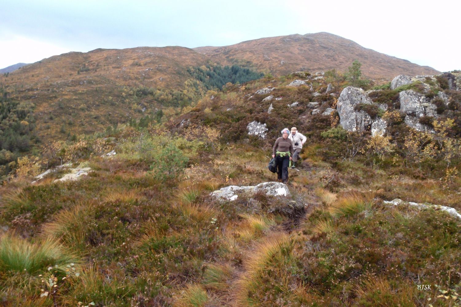
Walk up a narrow road from FV61 to the Moltugarden farm. The path begins from the barn at the end of the road. Follow the path across the cultivated field until you reach the edge of the forest. From here, follow the old farm road up through the forest. When you come out of the forest, the farm road will continue over the marshes. Turn off the farm road at this point and walk east (to the right). Follow the path east and past the top until you reach the edge of Hillehornet where the view of Leikong is the best.
Park your car along County Road 61 (FV61) next to the assembly hall Leikanger Kyrkjelydhus in Leikong.
Duration
1 t. 5 min

Sesong
Spring, Summer, Autumn
Signage
Both signed and marked
| Surface type |
Distance |
| Asfalt |
0,2 |
| Sti |
2,2 |
Hiking map of Ytre Søre Sunnmøre, M711 1119 I, Sunnmorskart.no
 Driving directions
 Route data
GeoJSON