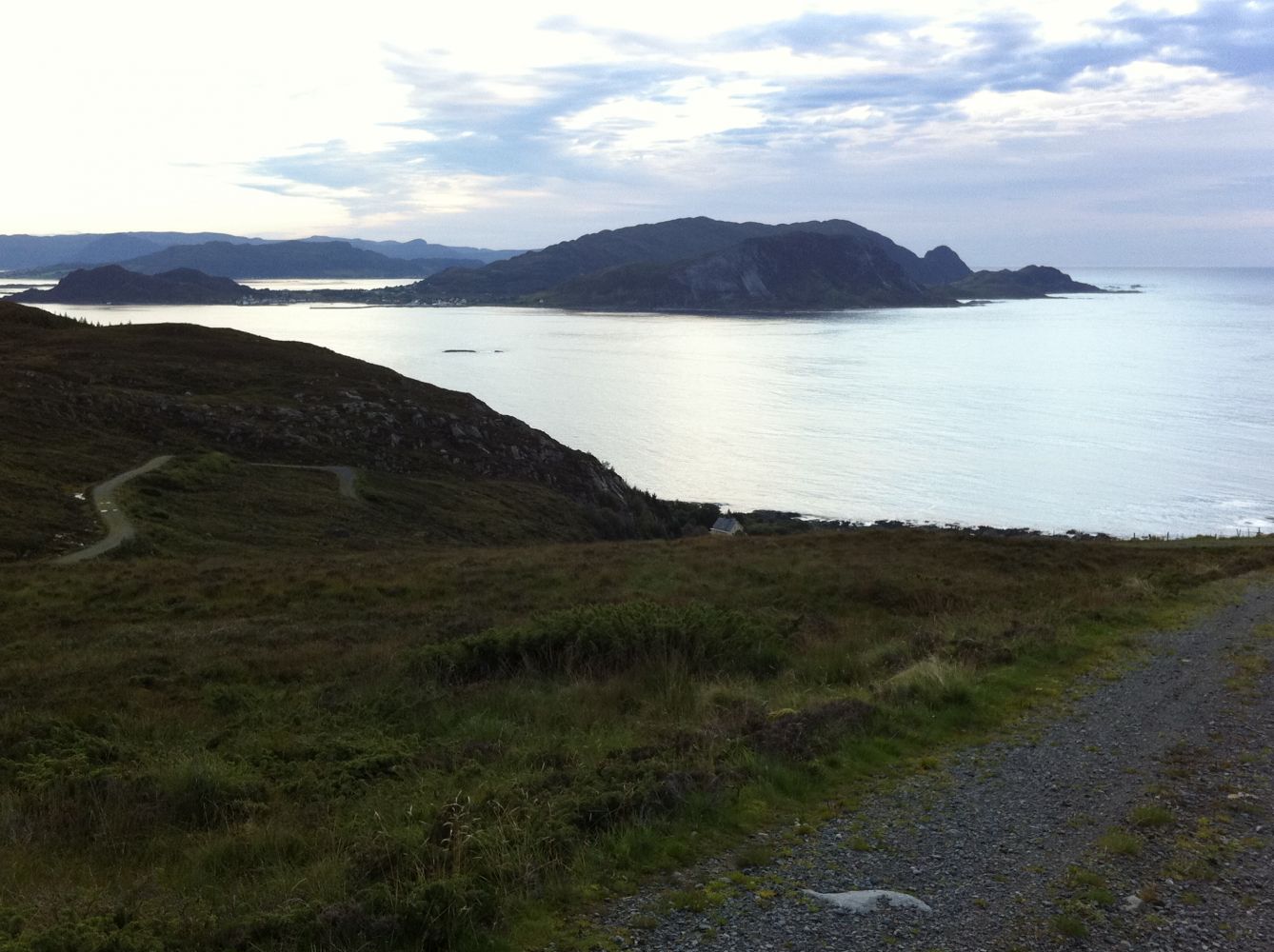
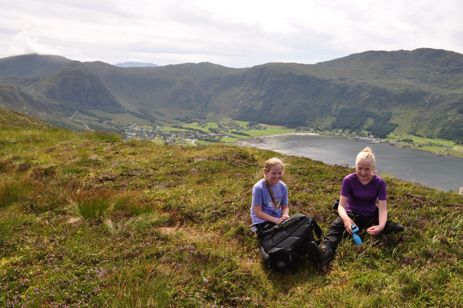
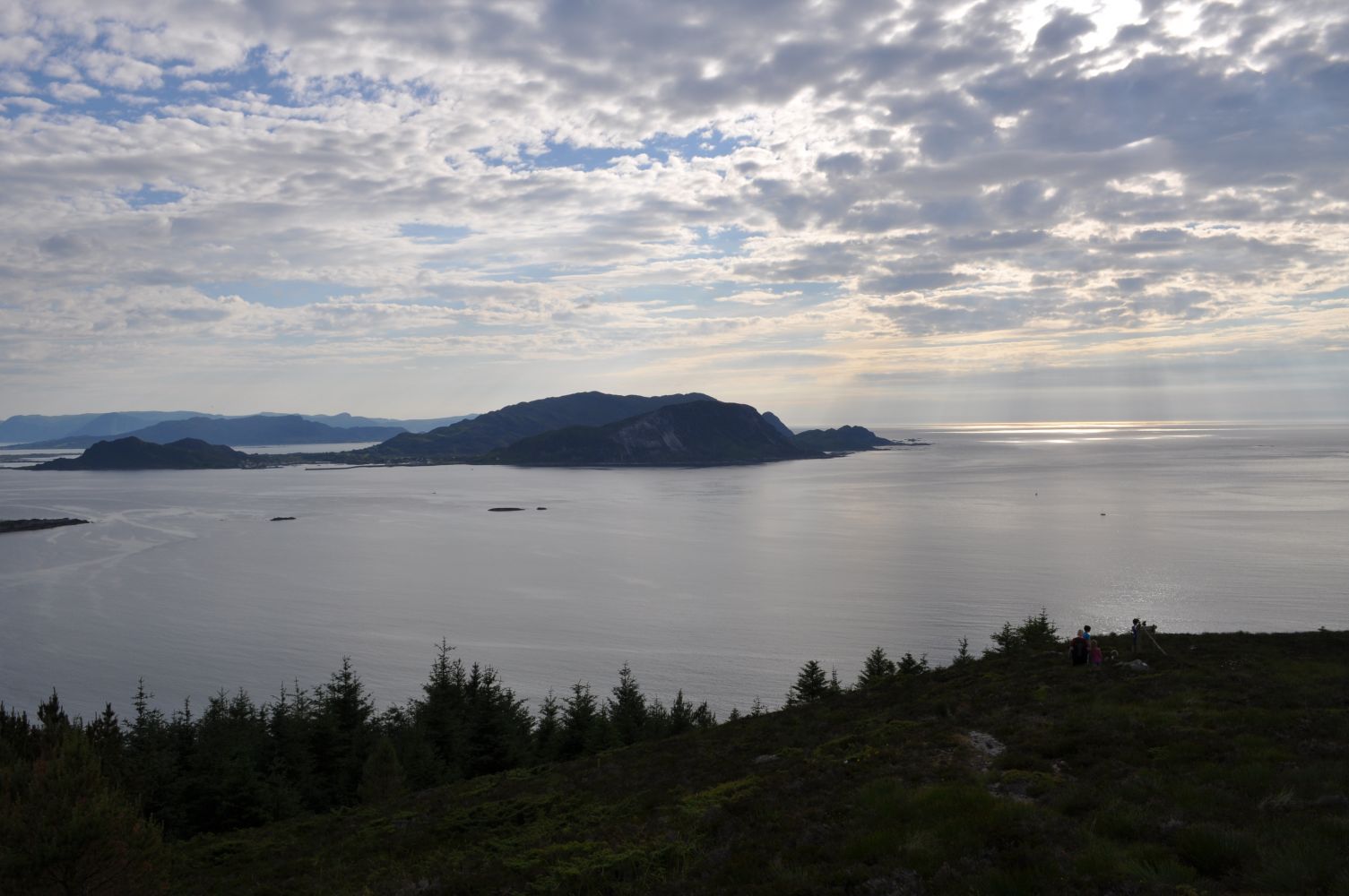
This lovely circular route with its scenic view towards Svinøya Island is suitable for people of all ages.
Route description
The trail follows a gravel road and a well-prepared and marked path.
The Gjerdsvika Sports Association (Gjerdsvika IL) has a post with a trail journal both by the bridge in Hidsdalen and on Trolltua.
You might meet some sheep in the Hidsdalen Valley. In dry weather, a pair of trainers would be enough for this hike, but we recommend wearing hiking boots.
Access and parking
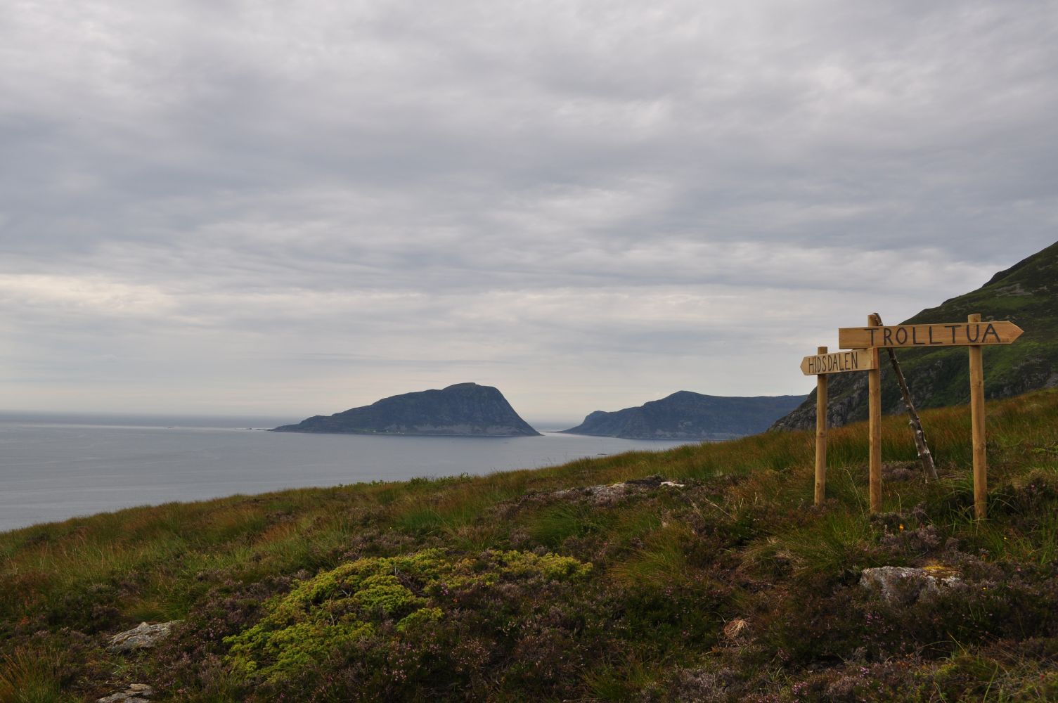
The trail starts from the main road. Walk up the gravel road until you reach the Hidsdalen Valley. You will see a sign and a marked path to Trolltua by the bridge in Hidsdalen. From Trolltua, a signposted and marked path will take you back to the starting point.
Park your car along the road by the sign for Hidsdalen or by the passing place 100 metres further north.

 Driving directions
 Route data