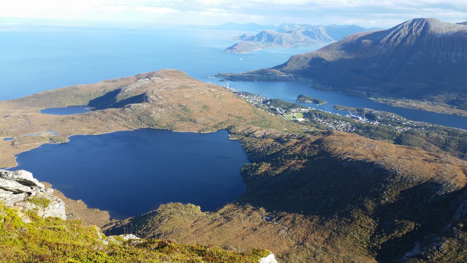
Lake Hestevatnet is located at 228 metres above sea level and offers great hiking opportunities for people of all ages. Hestevatnet is a source of drinking water for large parts of Haram and Sandøy Municipalities. Once you climb up to the lake, the landscape around you will become open and flat. The name of the lake is likely to originate from the fact that it lies just below Mount Hildrehesten.
Route description
Start walking across the dam on Synnalandsvatnet. Follow the gravel road up to the sewage treatment works of Brattvåg Vassverk where the road soon splits into two. The shortest way to Hestevatnet is the one that goes straight ahead and up a steep mountain, but you will also get to the lake if you follow the gravel road to the right and then to the left. Once you reach the water storage building, the road changes into a well-trodden path that goes through grass- and heather-covered areas all the way up to Hestevatnet. It is wet at certain parts of the trail.
From the endpoint of this trail / trail postbox, you can continue walking up to Lake Litle Hestevatnet, the mountains Eggene, Hesten and Synnalandshornet, as well as Lake Sætrevatnet or the Ryssdalen valley.
Access and parking
Start walking from the car park near Lake Synnalandsvatnet. To get there, drive past the sports facility in Brattvåg and into the residential area called Synnalandsdalen (Dalen). Turn right at the first junction and follow the road for 200 metres until you reach the car park.
There is a car park near the dam on Lake Synnalandsvatnet. No parking fee applies.
Hiking route
Green
Distance
1,5 km one way
Elevation
164 m
Duration
1 t. 10 min.
Sesong
Winter, Spring, Summer, Autumn
Highest Point
243 masl
Signage
Both signed and marked
Mobile coverage
Map route
Public transport
There is a bus connection to the centre of Brattvåg, but not to the starting point of the trail.

 Driving directions
 Route data