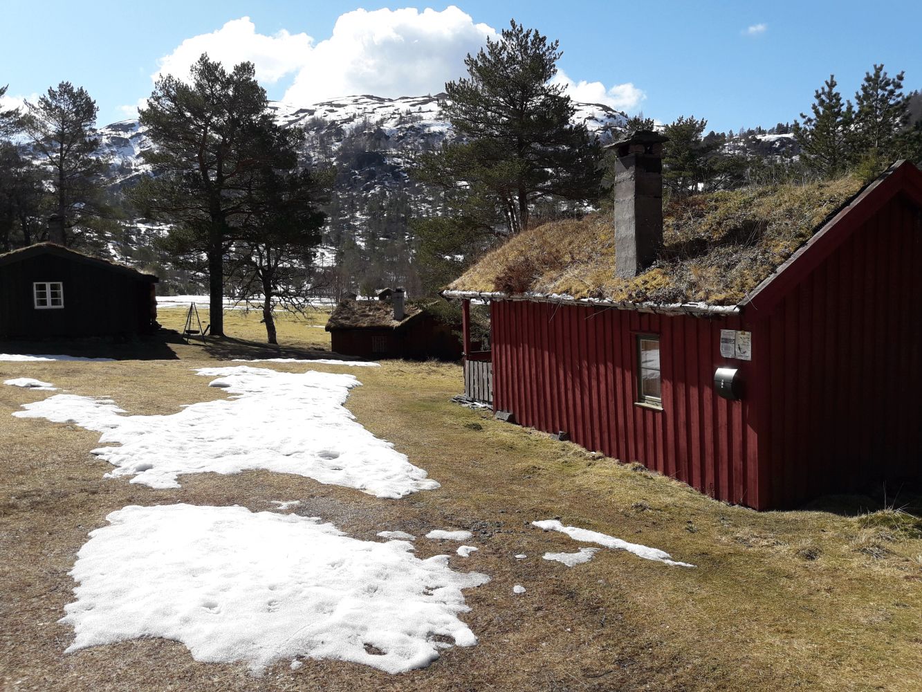
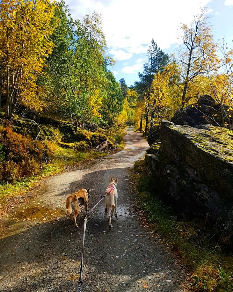
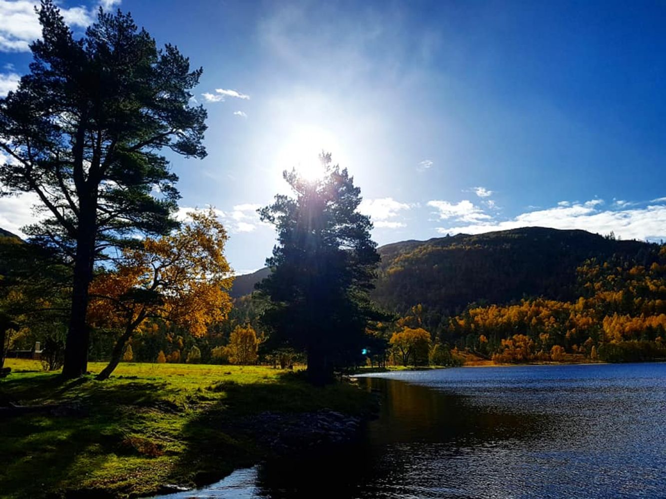
This trail goes through incredibly beautiful natural surroundings with the areas of heather, lakes, and mountain landscape. There are nice rest areas and fishing spots along the way. You can buy a fishing licence at the local sports shop in the centre of Tingvoll Municipality.
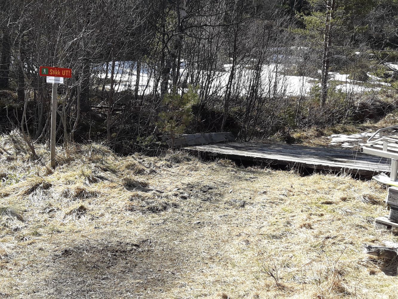
From the car park, follow the signs and walk south facing the mountains. Lake Herredsdalsvatnet will become visible at some point along the way. Walk along the lake all the way up to the summer mountain farm. This is a stroller-friendly trail if you follow the route directions. If not, you can take a shortcut to Herredsdalsvatnet across the marshy area.
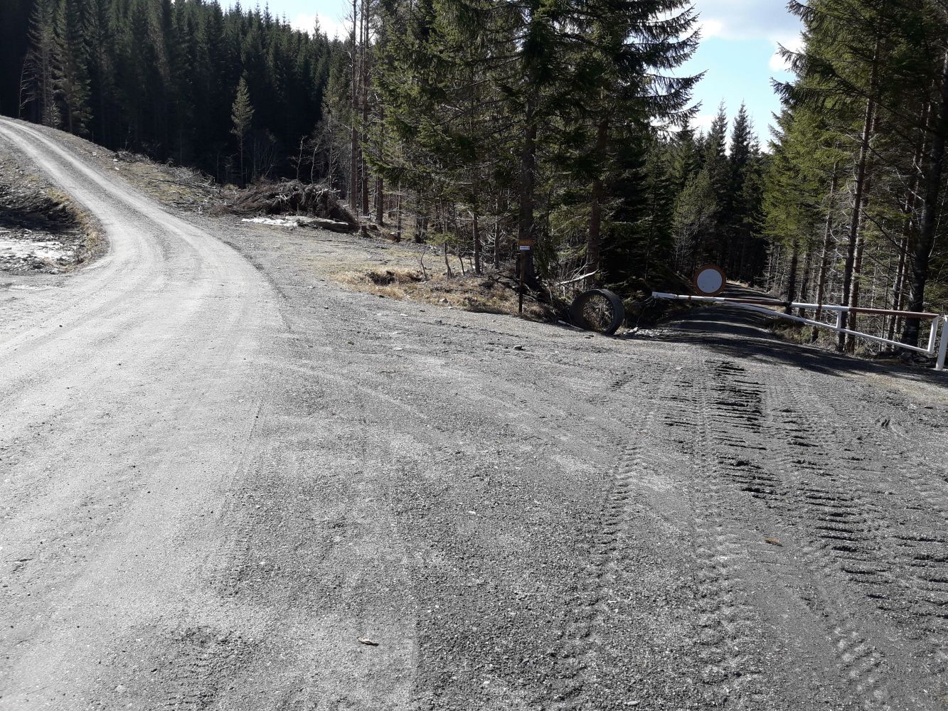
Follow E39 in the direction of the Kanestraum ferry terminal. Next to the marking lines for boarding, you will see a car park and a road that goes to the left. Follow the sign and drive in the direction of Mount Fløystadfjellet. There is a shared car park. You can either park your car next to the boom gate, which will add 2.5 km of walking, or drive through it and pay the toll fee to be able to park in Gammelsetra.
You can park your car either at the designated car park in Gammelsetra or next to the boom gate 2.5 km further down.
Duration
1 t. 40 min.

Sesong
Spring, Summer, Autumn
Signage
No signage or markings
Please pay attention to the animals grazing in the area.
Lake Herresdalsvatnet is located above the water inlet used by the water plant on Lake Storvatnet. All activities in the drainage area are subject to special regulations. This is why swimming in the lake is not permitted.
 Driving directions
 Route data
GeoJSON