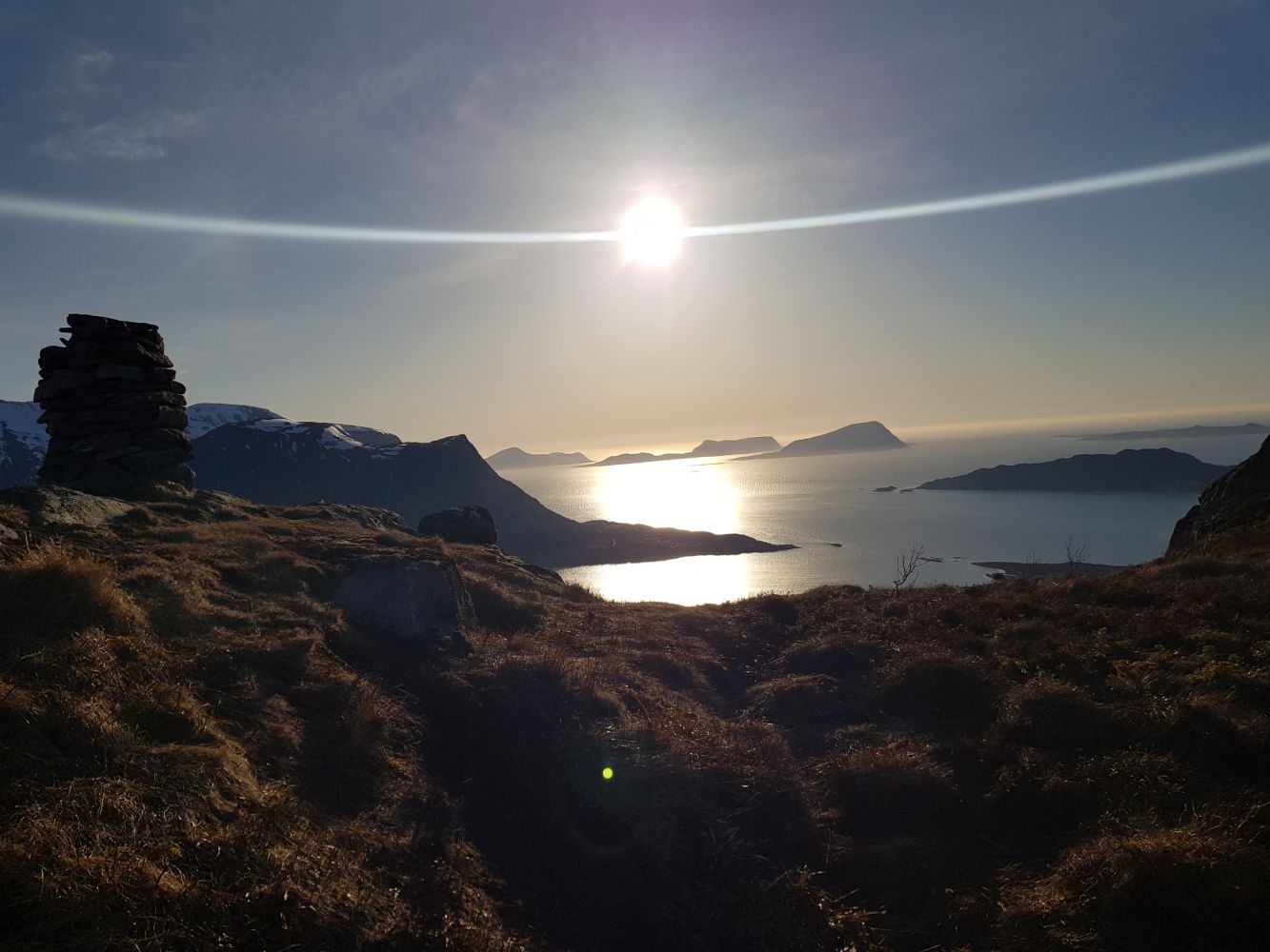
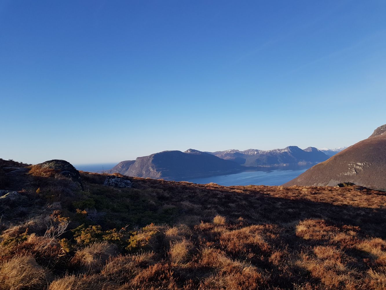
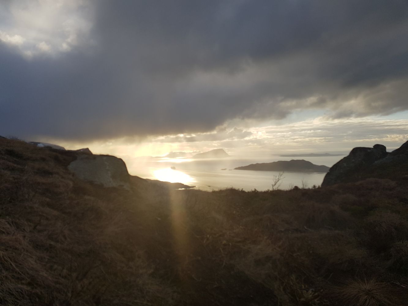
This is a beautiful trail with great views over the Nordøyane islands, Vestrefjorden, Vatnefjorden and Midsund.
Route description
The trail starts from the closed down shop along the main road. Go north from the shop and take the turn to the right towards Skogvoll. After about 300 m you will come to a sharp right turn. Follow the road as it turns to the right and walk along this road until it ends. From here, follow the path which will take you all the way up to the top.
Hellenakken
Access and parking
Start walking down the main road from the closed down shop.

 Driving directions
 Route data