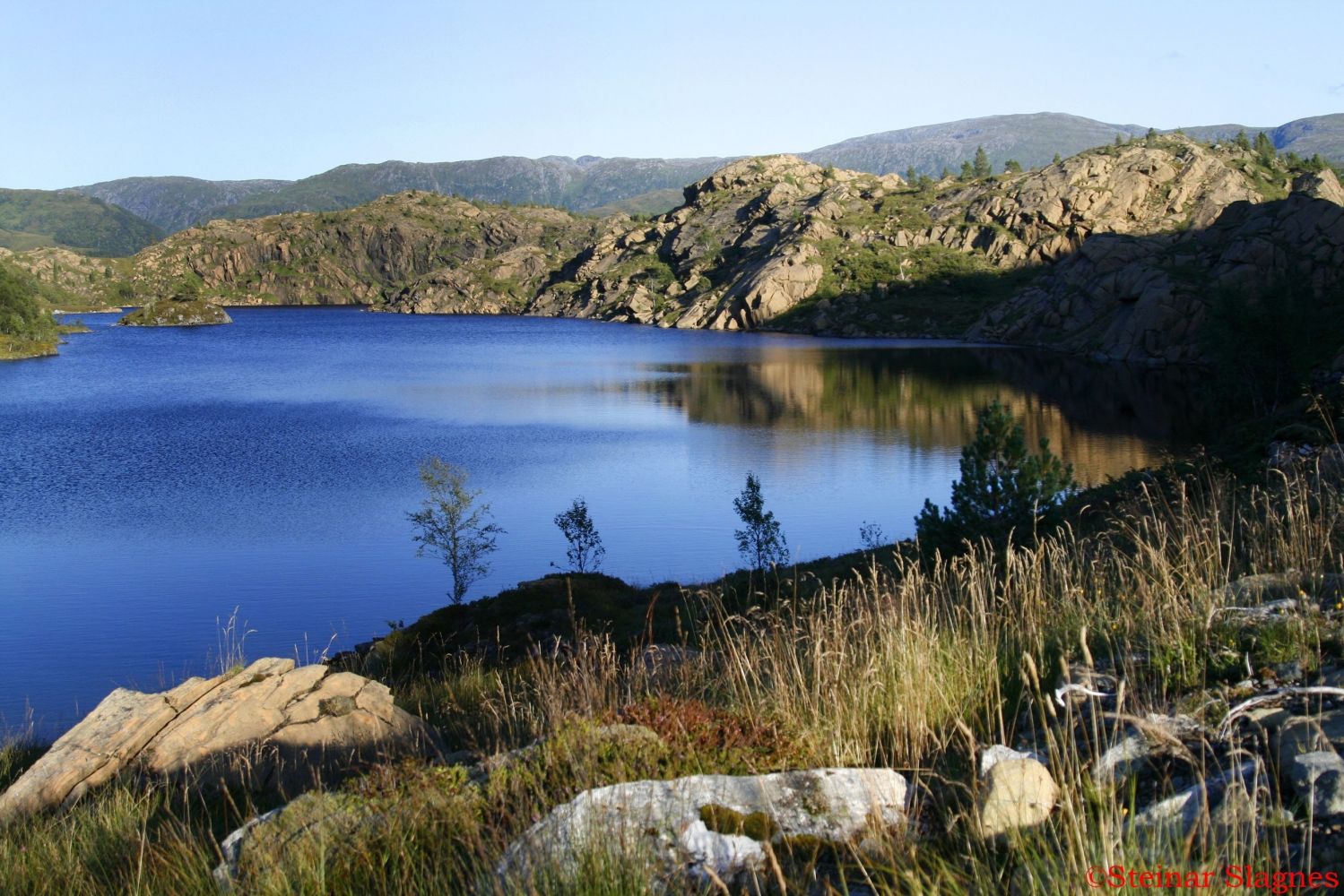
This hiking trail takes you to Helgehornsvatnet, a small mountain lake that lies between the two valleys, Almklovdalen and Sunndalen.This long lake is located at the height of 333 metres above sea level. It was named after Mount Helgehornet (514 m a.s.l.), which lies a couple of hundred metres north of the lake.
The easiest route up to the lake starts in Sunndalen, where you can follow a tractor road that climbs east past Grupsehaugen Hill. From Grupsehaugen, you will get a pleasant view over Lake Grupsevatnet and the farms around the lake. Alternatively, you can start walking from Hellebust, where you will also follow a good-quality tractor road almost all the way up to the lake.
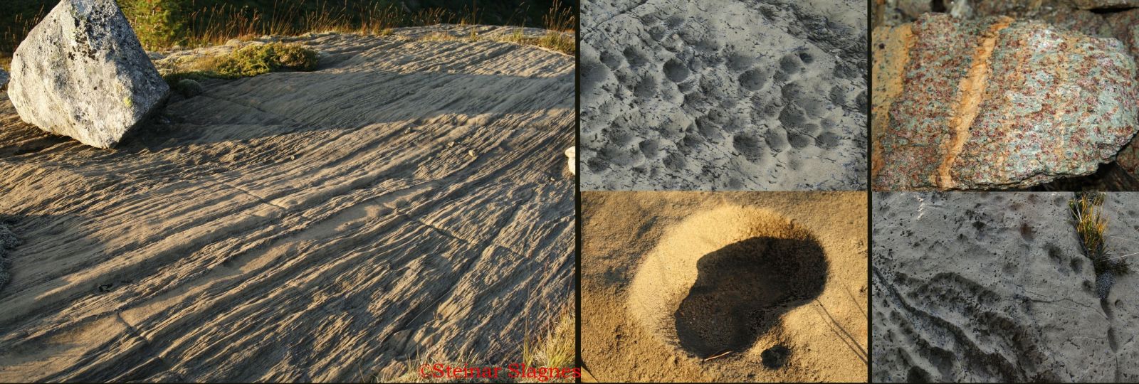
If you think that Helgehornsvatnet is just another small mountain lake, you should really take a walk up to this mountain area. The lake is notable for the unique geological formations in the area around it. When the German geology professors discovered olivine deposits in Sunndalen/Almklovdalen at the end of the 19th century, they were especially enthusiastic about the Helgehornet area. The reason is the deposit of the beautiful garnet peridotite in the eastern end of the lake which has now become a protected area.
This small garnet peridotite deposit has been visited by countless geologists because it has played an important part in the development of the theories around the formation of the deep-seated rocks eclogite, olivine, and garnet peridotite. This has given a better understanding of how the Earth’s crust was formed.Garnet peridotite found in the Helgehornsvatnet area contains a bright green pyroxene called omphacite. It also contains a deep red garnet called pyrope. This variety of garnet contains magnesium. The filler (matrix) between the two minerals is olivine, which is slightly oxidised and therefore ochre-coloured.
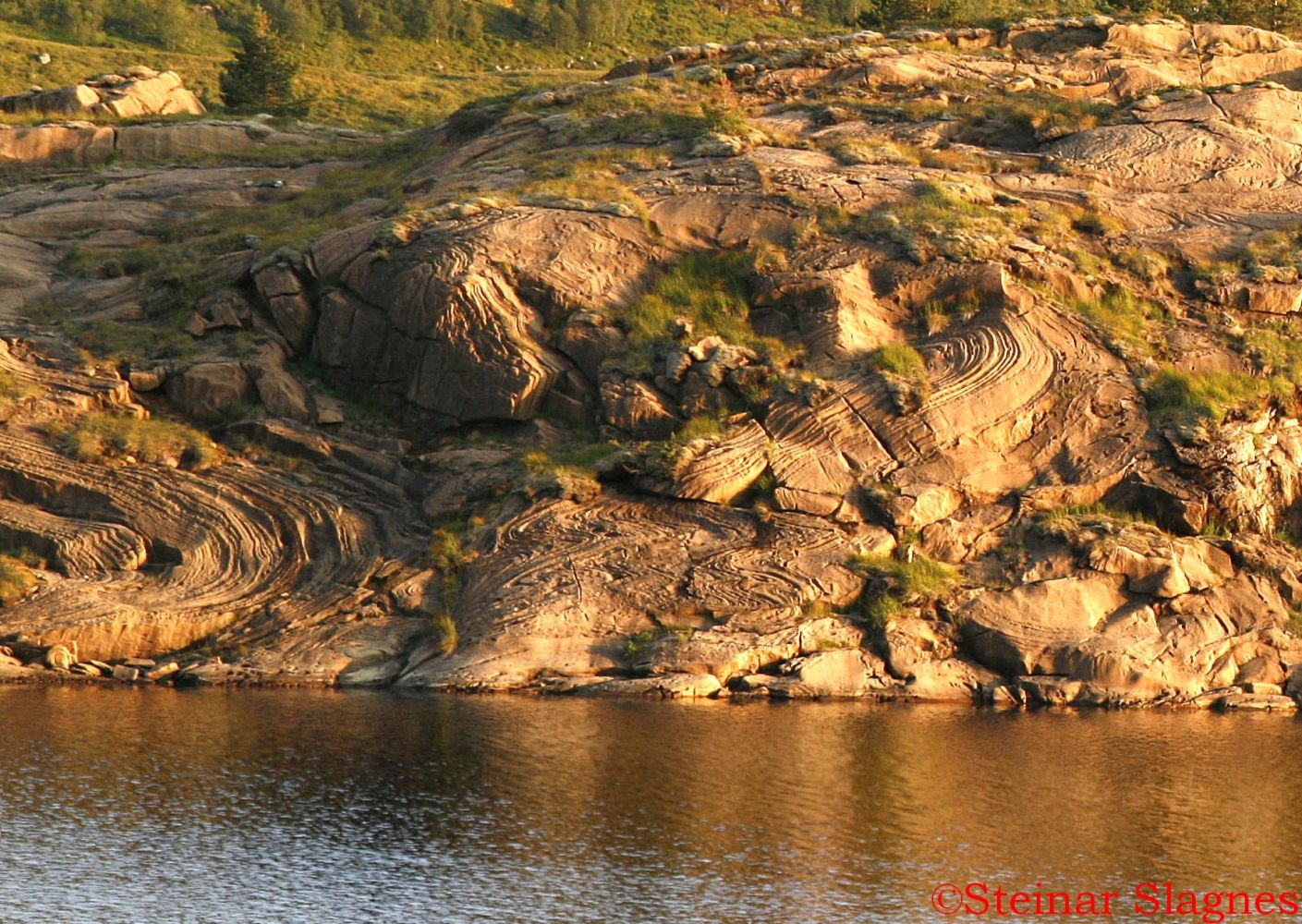
The low evening sun provides you with a better view of the patterns and folds of the mountain. A colleague at Sibelco once told a story about a German geology professor who he accompanied up to Lake Helgehornsvatnet one summer. The professor was so excited by what he got to see at the lake that he pulled off all his clothes and threw himself naked into the lake. He must have been in tune with these minerals through his work. What he saw here by the lake were these amazing rock formations that are now known to be up to 3 billion years old.
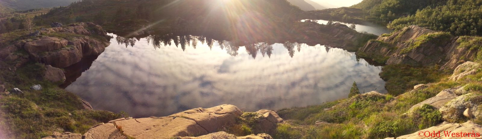
On the southern side of Helgehornsvatnet, you will find a small pond which is also a great photo spot. It has been said that none other than Goldschmidt himself shouted “Eureka” here because the pond somehow helped him understand the formation of the entire olivine deposit. The pond is therefore called the Eureka Lake by the locals.
Next to the car park in Sundalen, you will find Peridotplassen (Eng. The Peridot Square), an area where you can search for and pick up your own peridot gemstones. Peridot is pure crystallised olivine formed under immense pressure in the proximity of the Earth’s mantle and later pressed up to the surface. You can find beautiful samples of this gemstone at Peridotplassen.
You can also find these amazing peridot crystals at Norsk Olivinsenter (Eng. Norwegian Olivine Centre) in Åheim.
http://norskolivinsenter.no
http://www.visitalesund-geiranger.com/no/AKTIVITETER/familie/?TLp=399220There is a cosy barbecue place on the cape in the northeastern part of the lake. The lake is also a fishing point.
This hike can be combined with a trail up to Mount Helgehornet. The mountaintop offers an amazing view of Lake Helgehornsvatnet and the surrounding area. Please read the description of the trail to Helgehornet on morotur.no. Helgehornet - Trails - Morotur - Møre and Romsdal County

 Driving directions
 Route data