Norsk

Helgehornet

Vanylven

The trail at a glance

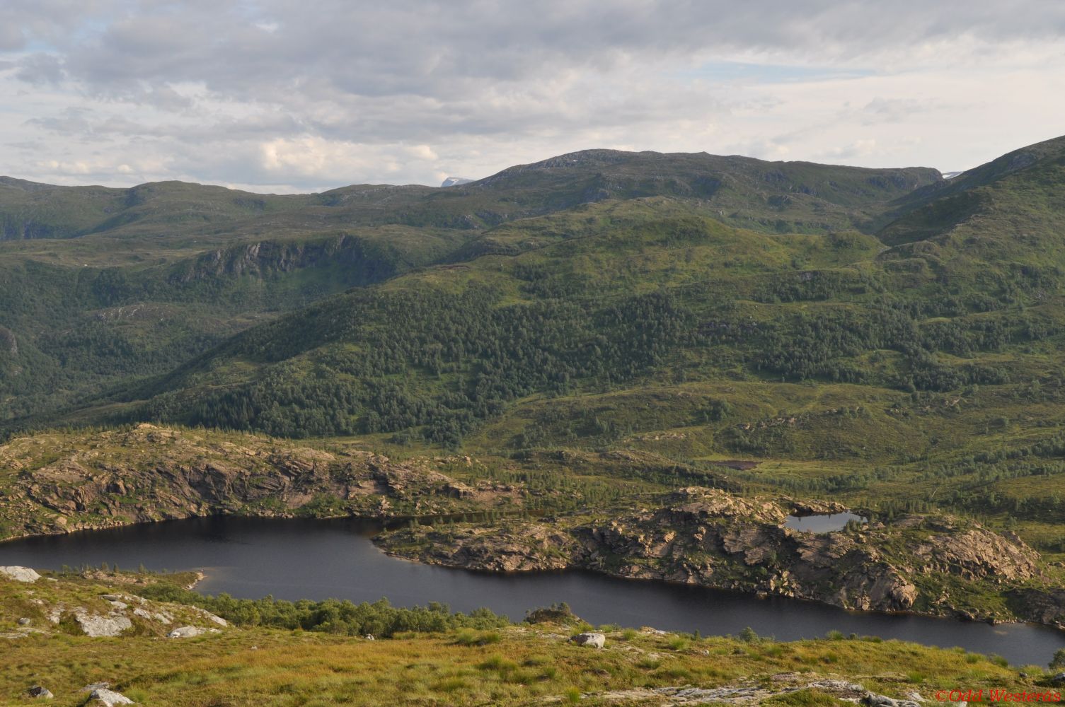
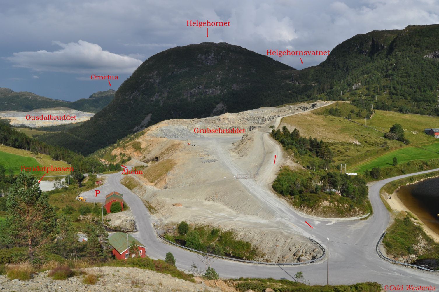
Mount Helgehornet lies in a very interesting area in terms of its geology. The mountain is literally surrounded by olivine deposits. Next to the car park in Sundalen, you will find Peridotplassen (Eng. The Peridot Square), an area where you can search for and pick up your own peridot gemstones. Peridot is pure crystallised olivine formed under immense pressure in the proximity of the Earth’s mantle and later pressed up to the surface. You can find beautiful samples of this gemstone at Peridotplassen. Peridotplassen used to be part of the trail network Vanylvsturen that was set up in 2009. http://www.vanylven.kommune.no/getfile.aspx/document/epcx_id/561/epdd_id/799 http://www.vanylven.kommune.no/modules/article.aspx?ObjectType=Article&Article.ID=1394&Category.ID=973 You can also find these amazing peridot crystals at Norsk Olivinsenter (Eng. Norwegian Olivine Centre) in Åheim. http://norskolivinsenter.no http://www.visitalesund-geiranger.com/no/AKTIVITETER/familie/?TLp=399220 Turen opp på Helgehornet er ein lett tur. The trail destination offers a wonderful view in all directions. The view of Lake Helgehornsvatnet is especially remarkable. This hike can be combined with a loop trail around Lake Helgehornsvatnet which is notable for the unique geological formations in the area around the lake. In the eastern end of the lake, you will find a deposit of the beautiful garnet peridotite. This area has a protected status today.Please see Vanylven Municipality – a trail to Helgehornsvatnet.

Route description

Walk south from the car park along the asphalt road to Lake Grubsevatnet. Turn left after 200 metres and walk up the gravel road that follows the fence along the olivine quarry (Grubsebruddet). You will see the signs for Mount Helgehornet and Lake Helgehornsvatnet just after you turn left. Once you reach the end of the quarry, follow the tractor road that takes you further up to Helgehornsvatnet. Just before you come up to the mountain gap and see the lake, turn off to the left. The point where you need to turn is marked with the first stick. The lake will be visible right after you have turned off the tractor road. Follow the marked route further into the forest. You will come out of that forest and get to enjoy the view after about 5–10 minutes. From that point, the path is well marked and easy to follow up to the top of Helgehornet. The trail destination offers a wonderful view in all directions. The area around Lake Helgehornsvatnet offers a unique experience. Follow the same route back.

Access and parking

Turn off to Sunndal/Almklov at the junction in Åheim, north of the river. After 4 km, you will reach Gusdal and a junction with a road to Almklov. Continue straight ahead. You will see the signs for Sunndalen and Helgehornsvatnet. After another 2.2 km, just after you have come up to Raudekleiva, you will reach the car park in Sunndalen. You will also see a sign for Lake Helgehornsvatnet at the car park. The car park at the start of the trail in Sunndalen is well-maintained and free to use.
Hiking route
Blue
Elevation
0 m
Duration
1 t. 5 min.

Map route

Surface type Distance
Asfalt 0,4
Sti 1,4

Map

Hiking map: På tur i Vanylven (Eng. Hiking in Vanylven) – can be purchased at local shops and petrol stations in Vanylven Municipality.
Driving directions

API endpoints

Route data GeoJSON