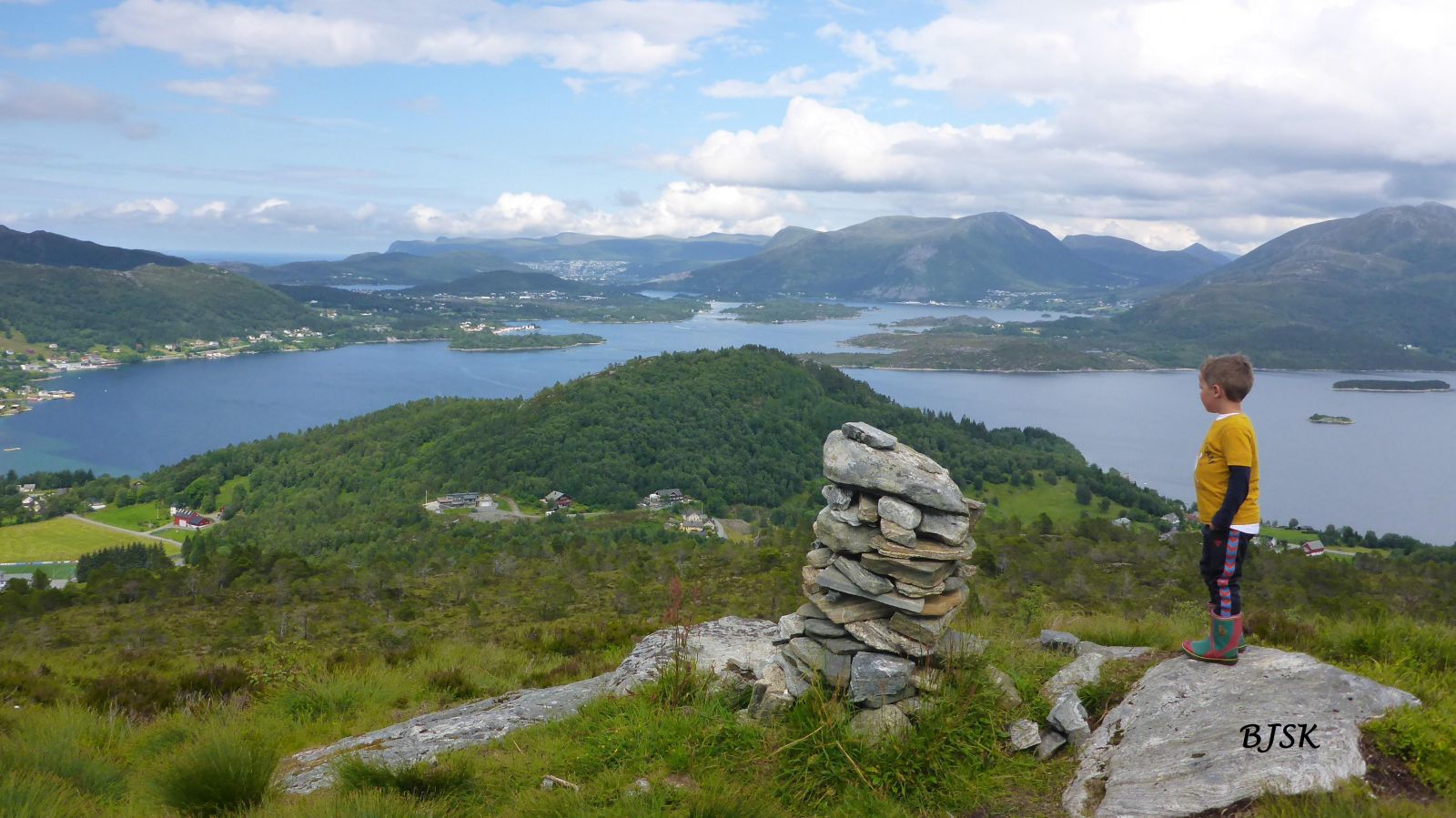
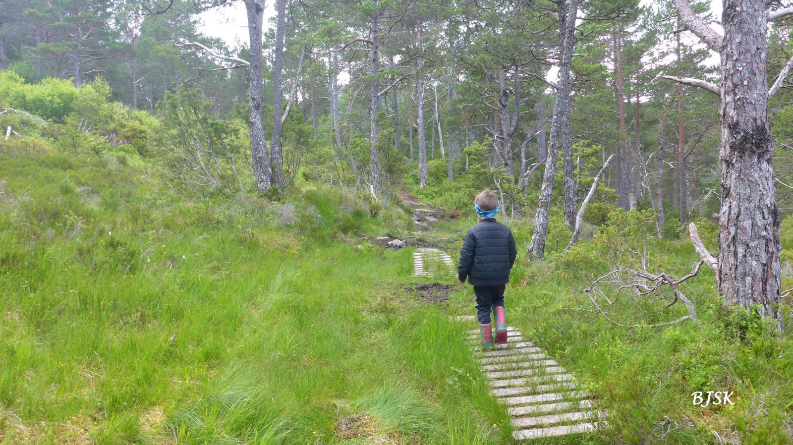
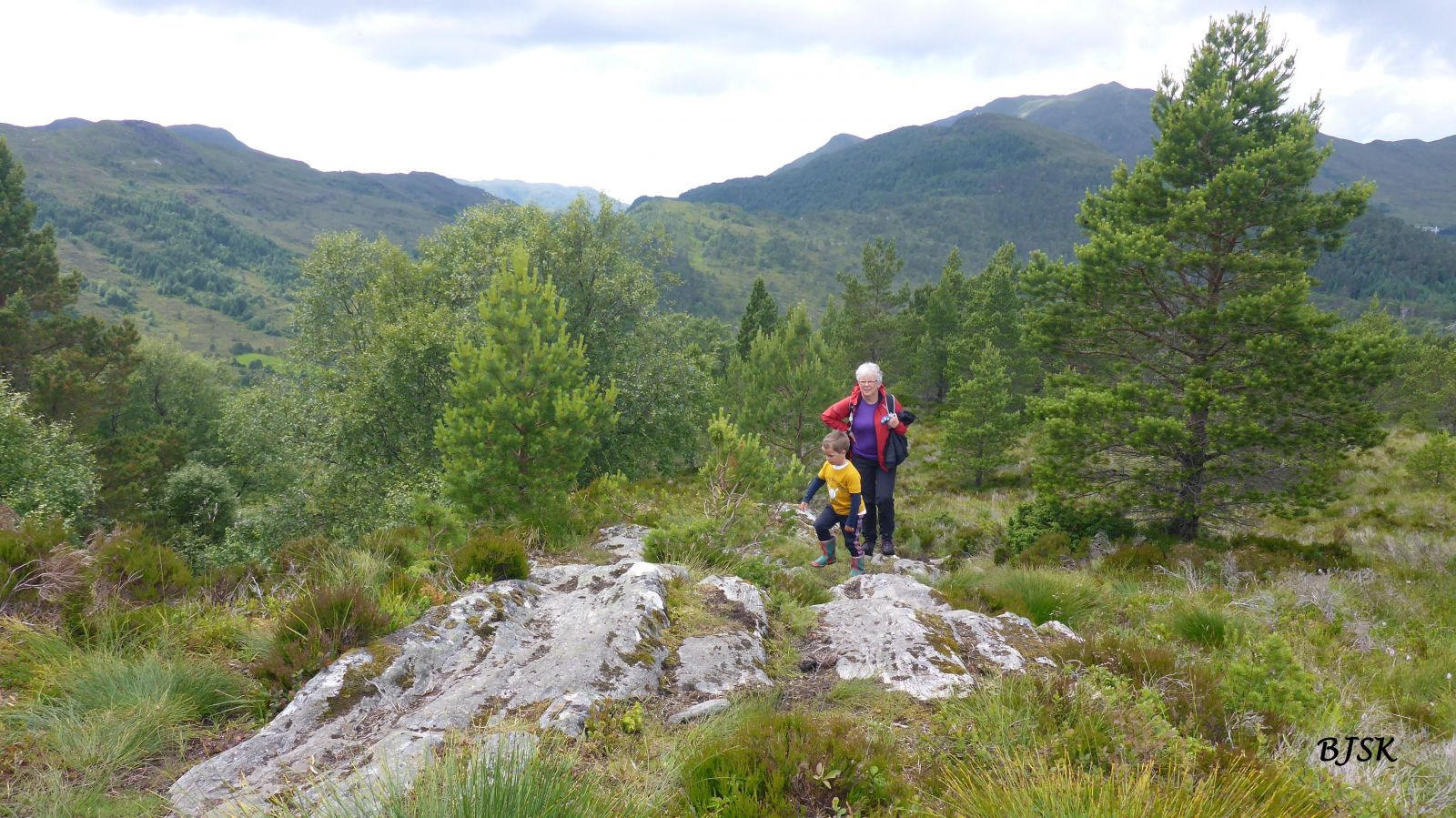
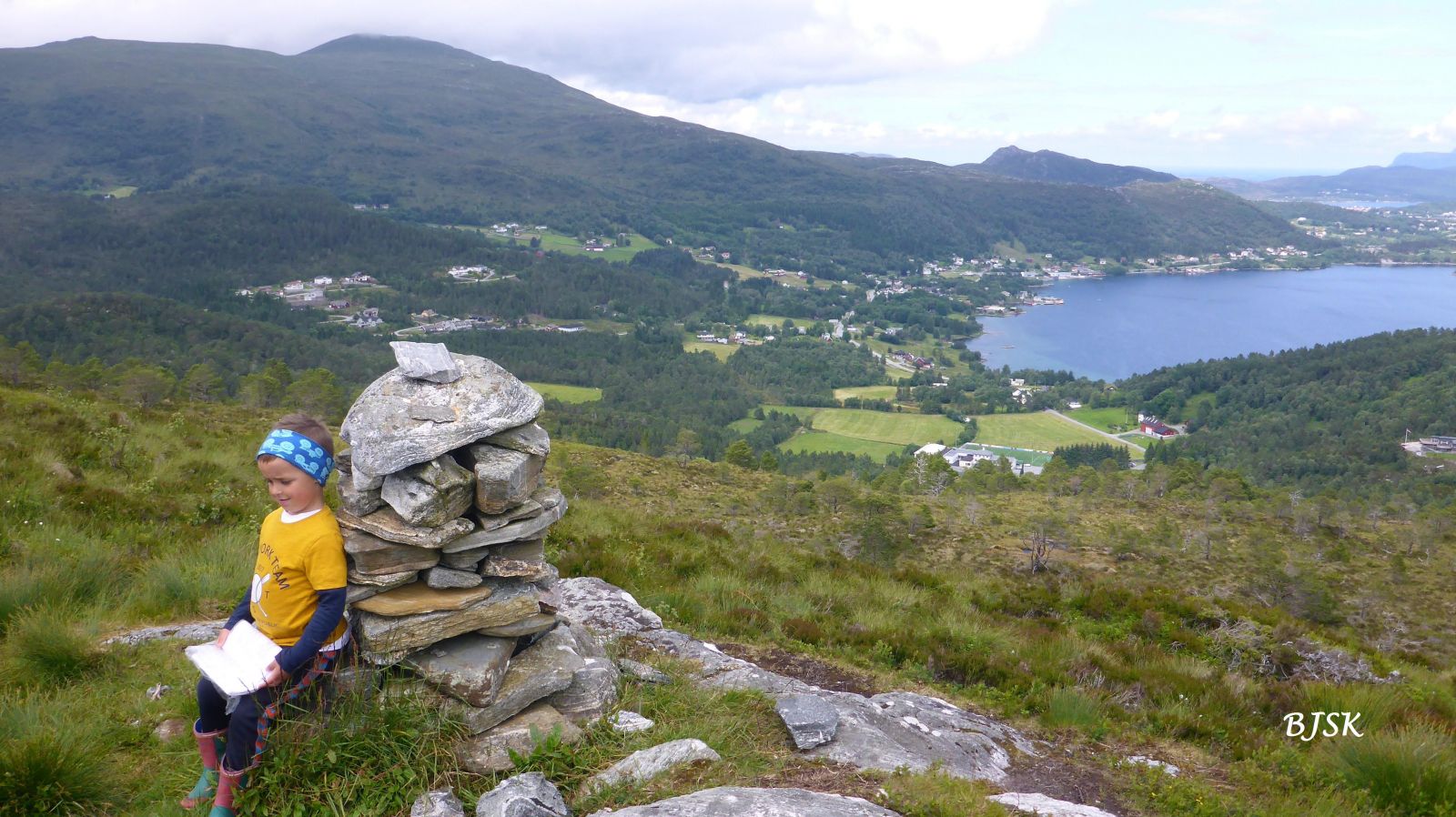
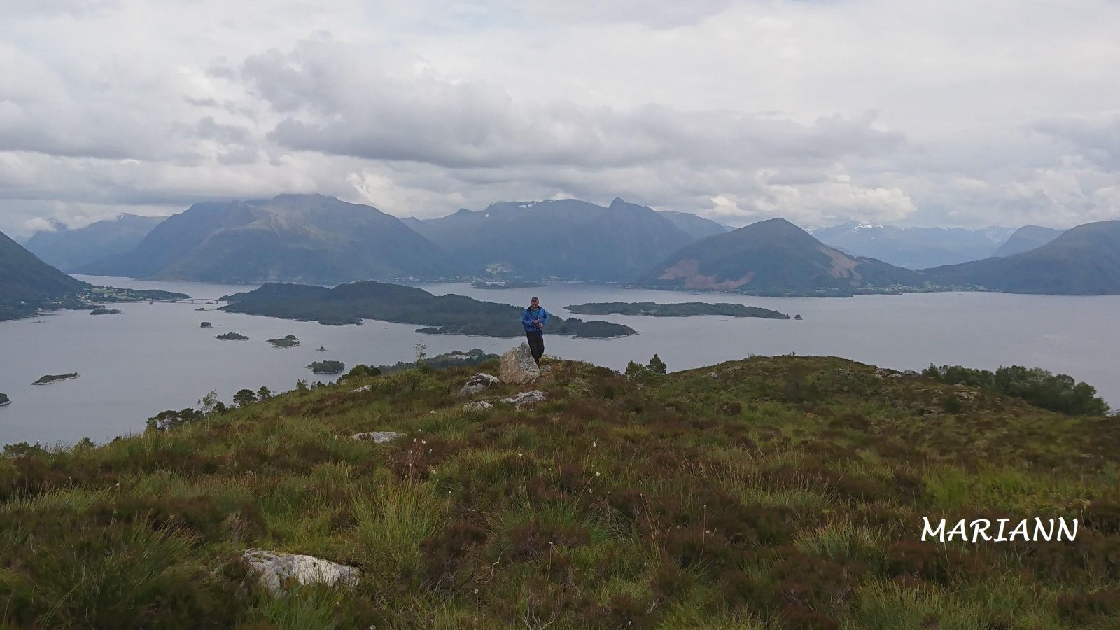
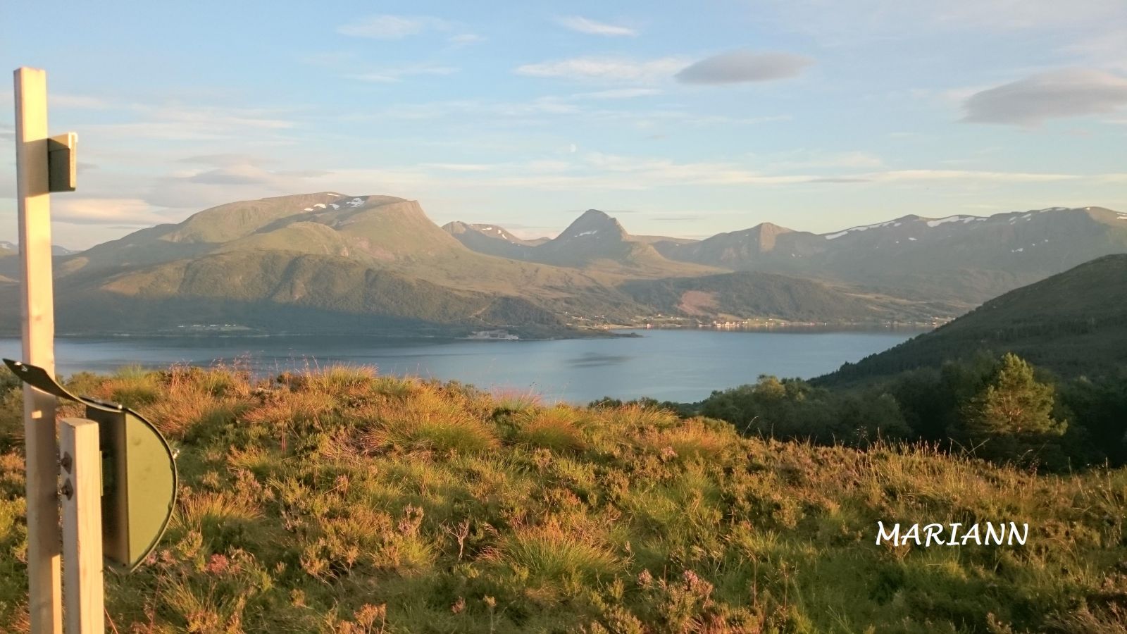
Heida is an easy and scenic hiking destination that offers a nice view of the mountain ranges Sunnmørsalpane and Rovdefjella and the mountains in Indre Herøy and Ulstein. The trail follows a forest road and good-quality path through the forest up to the top. Wooden bridges are set up on the wettest sections of the trail. The Gurskøy Sports Association (Gurskøy IL) operates a trail postbox on Heida.
Walk west along the forest road from the car park in Kleppefurene. Turn left at the first junction (after about 100 m) and follow the road south until it ends (about 250 m). Cross the river and follow the path south as it climbs up through the forest. When you are about halfway through, the path turns east and continues over the marshes until it reaches the top.
Turn off County Road 61 (FV61) at the junction east of Leikong Church (you will see a sign for Voldnes). Drive along Jøsokvegen for about 1.3 km, turn right, continue for about 600 m, and turn right at the junction after the school/community centre. Follow the forest road for about 600 m until you reach the car park in Kleppefurene. Park your car there.
Duration
1 t. 10 min.

Sesong
Spring, Summer, Autumn
| Surface type |
Distance |
| Grus |
0,35 |
| Sti |
1 |
Hiking map of Ytre Søre Sunnmøre, M711 1119 II, norgeskart.no
 Driving directions
 Route data
GeoJSON