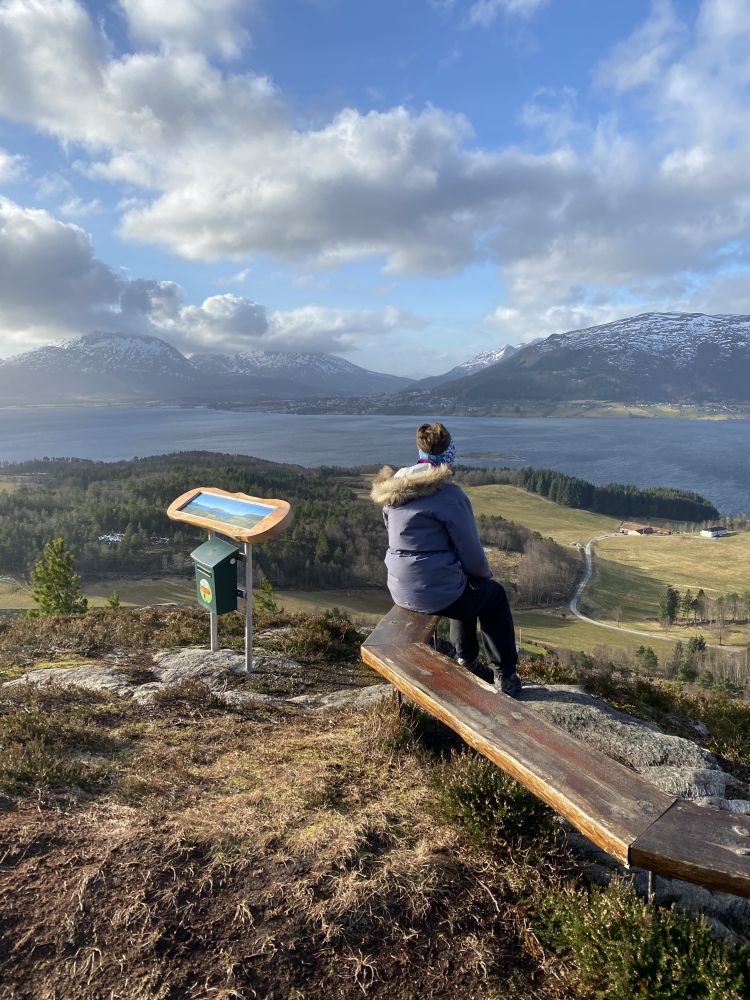
This trail offers a great view of the Kornstad Fjord and the ocean.
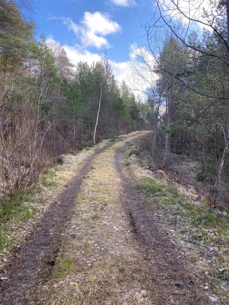
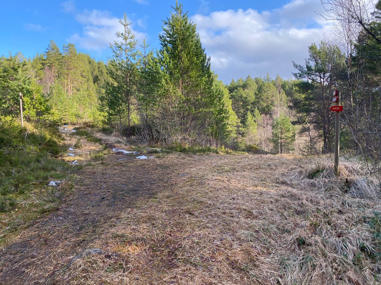
The first part of the trail follows a forest road, and the final part follows a nice path.
The trail starts in Rånes on the inside of Averøy island.
From Kristiansund and Bruhagen. Drive along County Road 64 (Fv64) to Bruhagen. You will see a road sign to Kvernes. Turn off County Road 64 (Fv 64) and onto County Road 247 (Fv247). Drive to Stene and follow the sign to Rånes. Continue for about 2 km from there and park your car right next to the road. The car park is signposted.
From the Atlantic Road (Atlanterhavsveien). Follow the Atlantic Road to its end. Turn off County Road 64 (Fv64) at the T-junction and take the right turn onto County Road 247 (Fv247) in the direction of Kvernes. Follow this road for about 13 km until you see the sign for Rånes. From here, continue down the road for about 2 km until you reach the car park marked with a Stikk Ut trail sign right next to the road.
The car park for the Stikk Ut fitness trail is located just off the road. Please also see driving directions. No parking fee applies.
Distance
2,18 km both ways
Duration
50 min.

Sesong
Spring, Summer, Autumn
Signage
Both signed and marked
Some buses pass by from time to time excluding the weekends.
 Driving directions
 Route data
GeoJSON