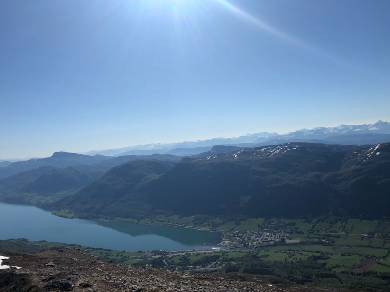
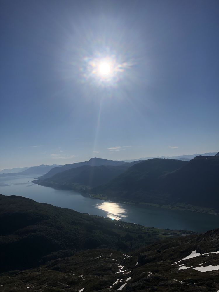
The trail to Hastadfjellet is one of the most scenic mountain hikes in the area. The view from the peak is truly an unforgettable experience. You will see the entire coastline from Hustadvika to Smøla as well as the entire mountain range from Trollheimen to Sunnmørsalpene. The trail is steep and demanding, and you will follow a good-quality path the entire time. You will find a trail postbox and a journal at the cairn on the mountaintop.
The trail starts in the Solsida residential area just above the centre of Batnfjordsøra. Follow the good-quality forest road until you reach the power plant. From here, follow the tractor road that will take you almost to Lake Astadvatnet. Turn left just before the lake. After walking over a marshy area, turn left again and walk up the mountain ridge. A well-marked path will take you up to the mountaintop.
Turn off E39 in Astad, about 1 km from the centre of Batnfjordsøra. Follow the road until you reach a residential area called Solsida after about 1 km. Park your car by the top road turn in the residential area.
You can also get to Batnfjordsøra by bus from both Molde and Kristiansund. Timeekspress buses operate every hour. Get off at the bus stop in Astad. Follow the footpath through the residential area until you reach the car park where the marked trail begins.

 Driving directions
 Route data