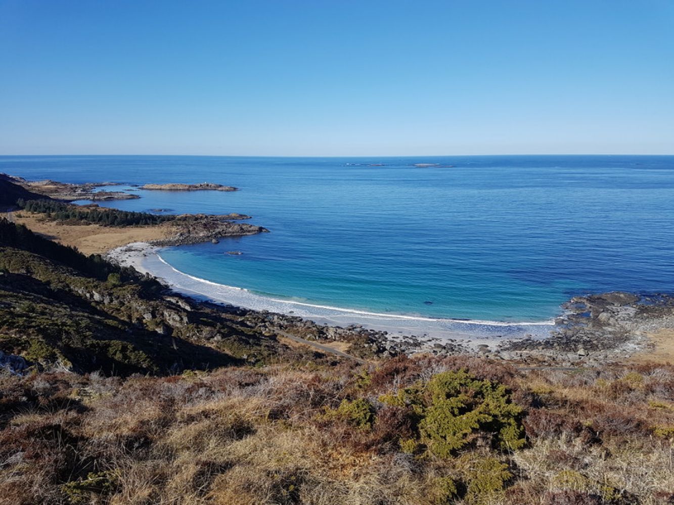
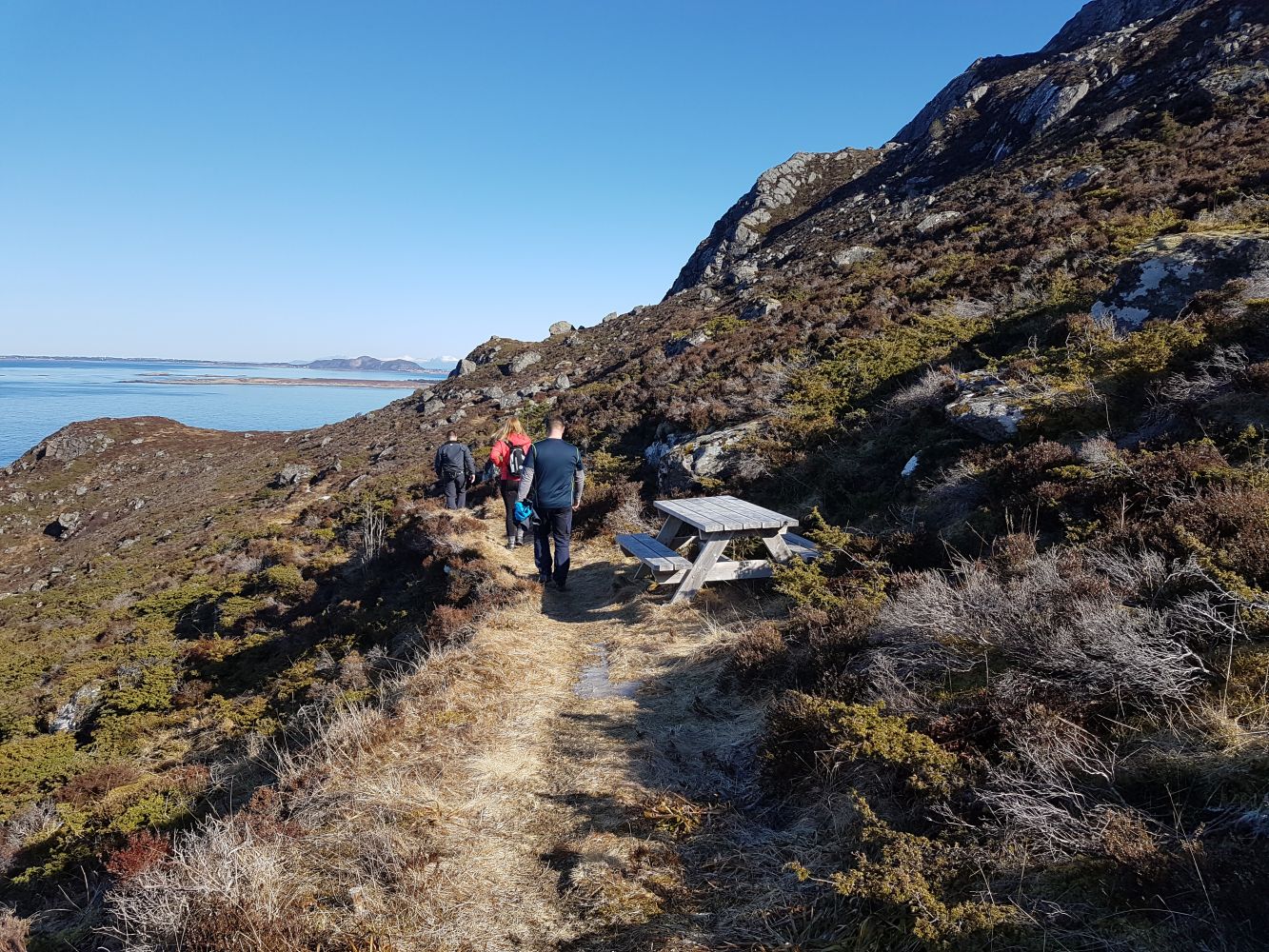
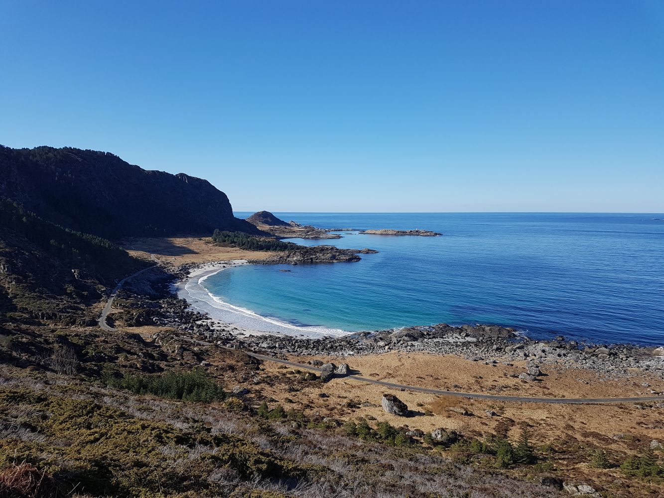
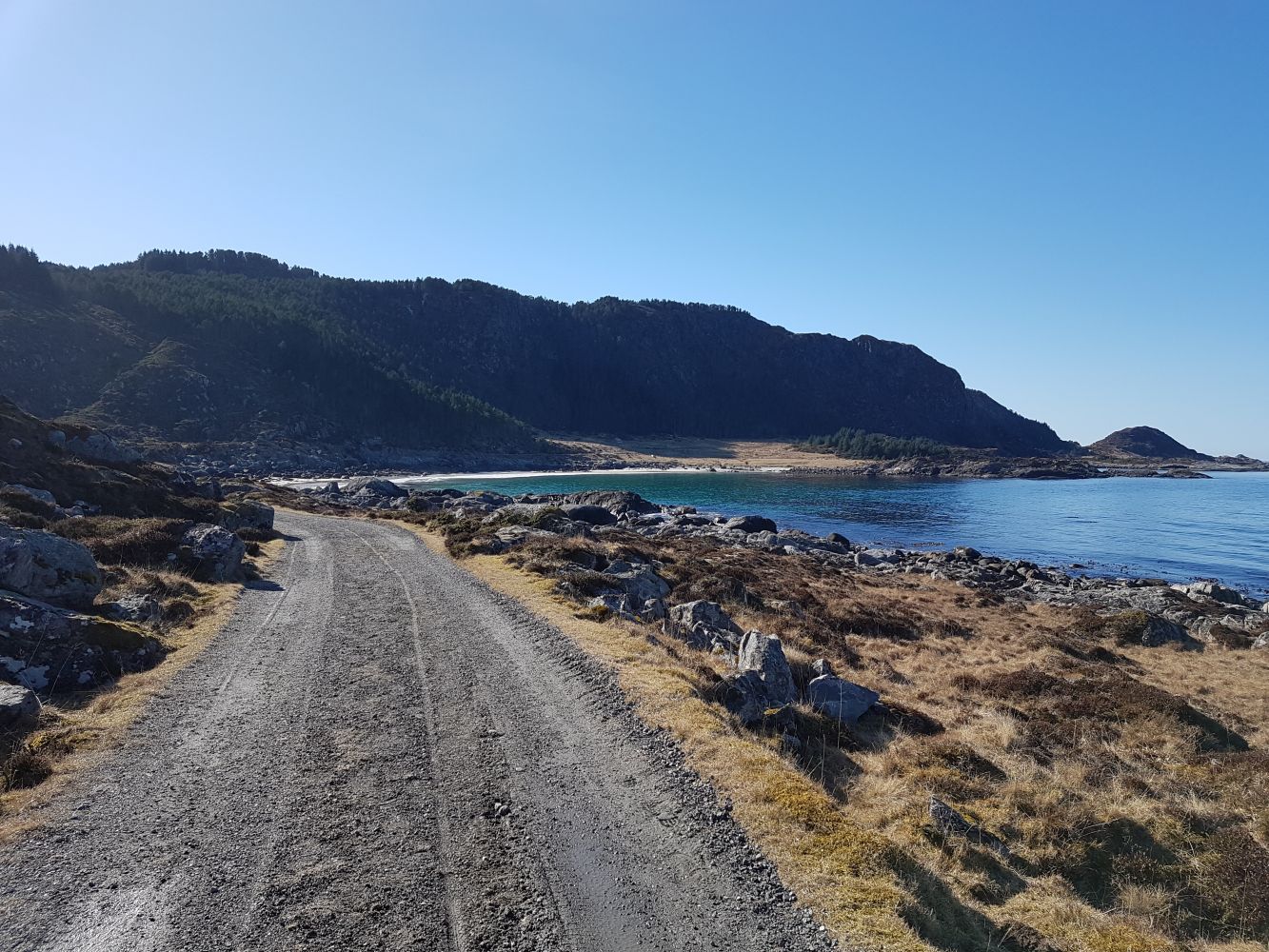
This trail offers a great view over the sea and out to the north towards the islands of Fjørtoft, Harøy and Finnøy. You will also get a wonderful view of Sandvika, the beautiful sand beach located on the island. It is also possible to walk across the neck of the island and down towards Støene to the sand beach. Here you can take a refreshing dip in the sea or just enjoy listening to the sound of the waves crashing on the shore. A picnic bench is set up near the Stikk Ut trail postbox where you can sit down and have a snack or just enjoy a short break from walking. It is also possible to combine this trail with another Stikk Ut trail called Skulen which covers the top of the island.While walking down this trail, you can also see some of the wonderful birdlife of the outer archipelago. It is quite common to see a white-tailed eagle soaring in the air above you.
Route description
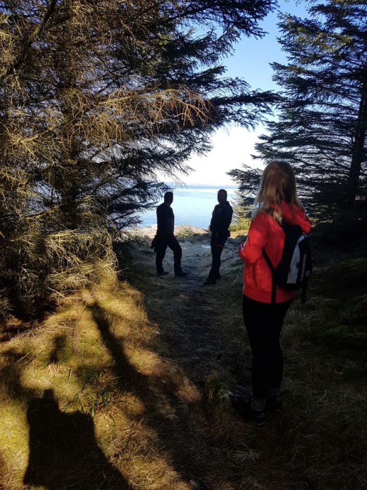
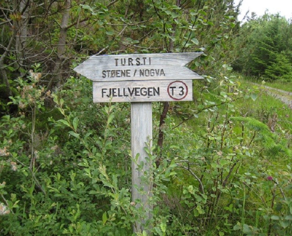
The starting point of this trail is the Nordøy community centre. Walk up along the side of the community centre and along the football pitch until you come to the road. Follow this road upwards and turn left at the first junction. Continue walking through the residential area and take the turn to the right at the crossroads. The trail up towards the mountain and Halsane starts here. Follow the mountain road until you see a sign for Støene on your left. Turn off the road and start following the path until it splits in the forest. Follow the path straight ahead and walk through the forest. Once you come out of the forest, you will see the ocean right in front of you. Continue walking along the path until you come to a picnic bench and a Stikk Ut trail postbox. It will take you about 20–30 minutes to walk from the car park to the trail postbox. Here you can turn around and walk the same way back.Alternatively, you could follow the path further until you reach the road in Støene. Take the left turn here and follow the road back to the Nordøy community centre. There are animals grazing on the fields in the area, so please remember to close the gates after you have passed through them.
Access and parking
Take a ferry from Skjeltene to Austnes. Drive to the right and follow the sign to Rogne. After you have passed the Ulla Bridge and driven along the road that follows, take another turn to the right. Follow the road until you see the Nordøy community centre on your left-hand side. (It is a long beige building right next to the road.) There is a car park at the end of the community centre. This is where the hike starts.
Nordøy community centre, no parking fee.
Hiking route
Green
Elevation
107 m
Duration
1 t. 20 min.
Sesong
Winter, Spring, Summer, Autumn
Highest Point
112 masl
Signage
Signed
Map route
Public transport
http://www.nordoy.net
Here you can find the information you need if you want to go to the island of Flemsøy / Skuløy.
Other
To learn more about the history of the island, go to http://www.nordoy.net — “Øyahistorie” (“the Island's History”).

 Driving directions
 Route data