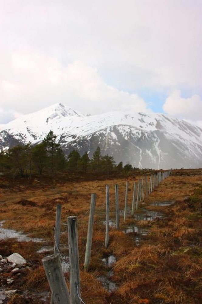
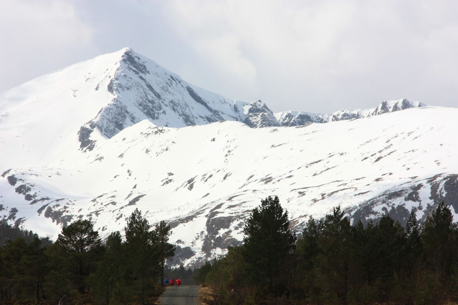
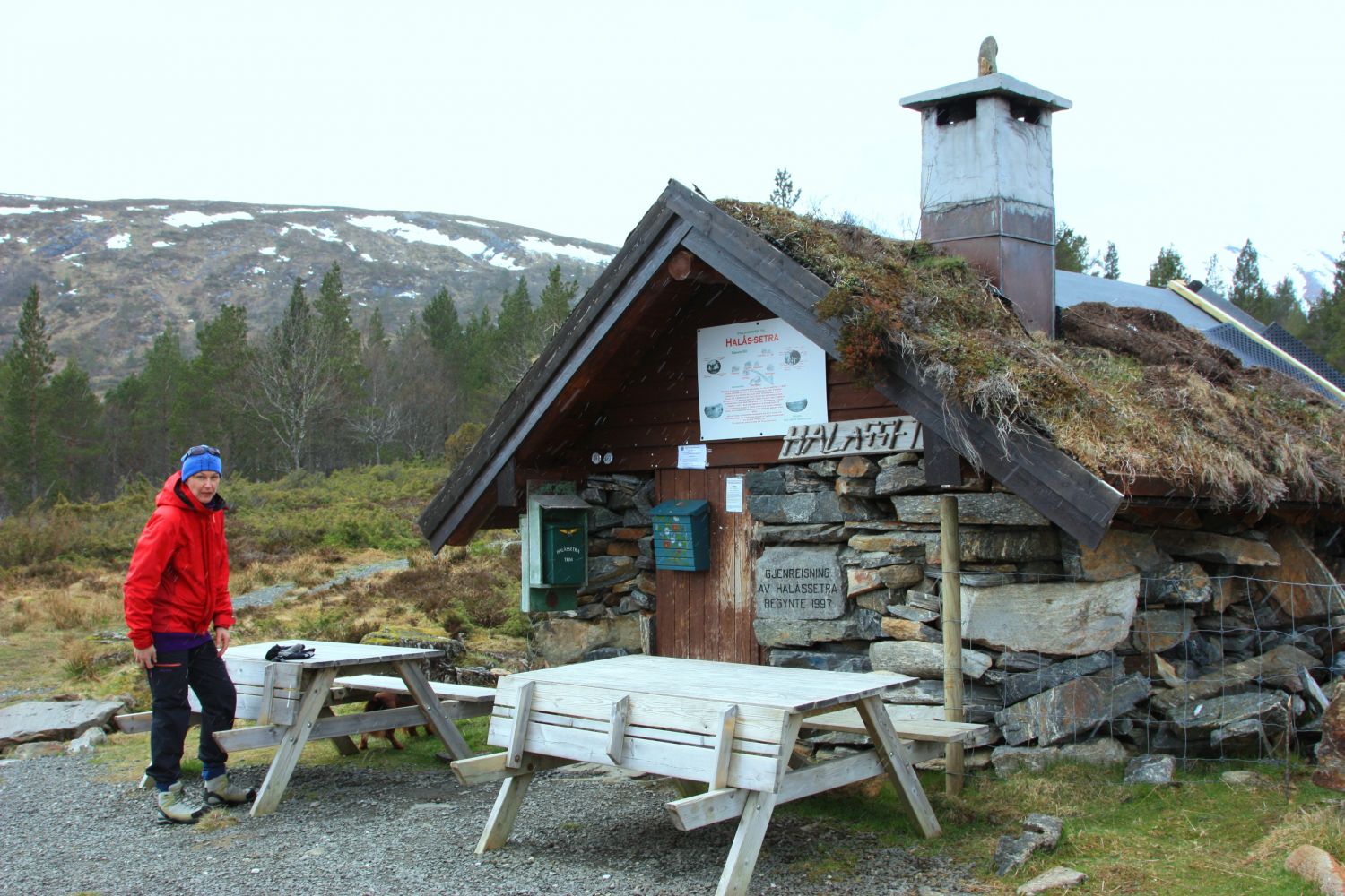
In 2017 you will find the Stikk UT! code directly at Halåssetra unlike the previous years when it used to be placed up in the viewing area.This nice and peaceful trail will take you to the Halåssetra mountain summer farm. The trail gently climbs up towards the farm. You will enjoy a beautiful view with majestic mountains in front of you as you walk up and take in another fantastic view over the Kvernes Fjord and towards Averøy on you way down. The distance to Halåssetra is about 1.6 km one way.Once you reach Halåssetra you can continue walking by following a looped trail which will take you from the farm up to Lomtjørna below the overhead power line that transmits electricity to Fræna. The looped trail is about 2.5 km.Biological diversity: Natural habitat of black grouse and western capercaillie. Please see http://dnweb12.dirnat.no/nbinnsyn/asp/faktaark.asp?iid=BA00050970Halåssetra Natural pasturePlease see http://dnweb12.dirnat.no/nbinnsyn/asp/faktaark.asp?iid=BN00024746
Route description
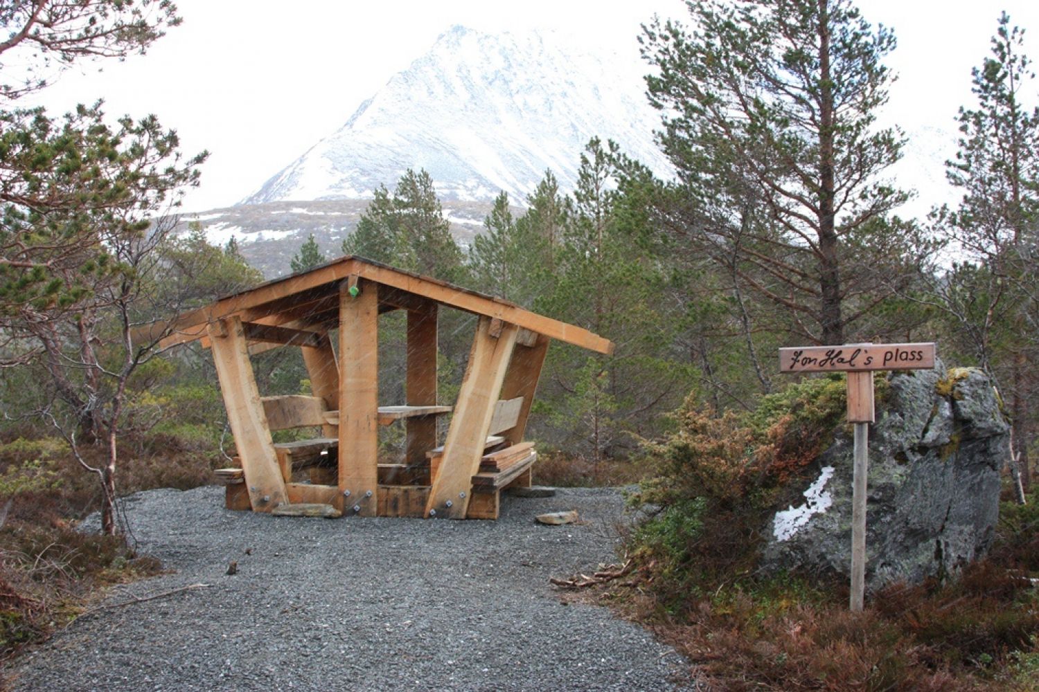
The trail starts at the car park in Halåsen from the same place as the ski trail. Follow the road all the way up to the farm. You will find a cabin up in the mountain farm area. Feel free to go in, have a rest or east a snack.Looped trail: You can turn off the road to the right 150 metres before you reach Halåssetra. Follow the way up until you see an electrical transmission tower above your head. The way goes straight ahead at first and then drifts to the left. Once you are up below the electrical transmission tower you will see your road changing into a well prepared path. The path swings into the marshland and conveniently passes through the terrain.Ljomstjønna pond will be on your right-hand side. On your left-hand side you will soon see a rest area, Jon Hal's place. Follow the path as it takes you around the pond. You will soon come across a great viewing area on your right. There is a bench up there. The area offers a fantastic view over Isingvågen and the Kvernes Fjord, as well as towards Averøy.From here, the path goes down to Halåssetra farm. Once you reach the farm, you can read the information about the reconstruction of Halåssetra. You will find the trail postbox with the Stikk UT! code here as well (2017).
Access and parking
Your destination is Halåsen in Eide municipality.
From Molde and Fræna: Drive along National Road 64 (Rv64) to Eide. Continue past Nås and drive out of the 60 km/h speed zone. Nås lake will be of your left-hand side. You will see the signs pointing to Derinngarden and to the Halåssetra trail. Turn off to the right.
From Averøy: Drive along National Road 64 (Rv64) through the centre of Eide. Drive past Frodebanen sports facility which will be on your right-hand side. Nås lake will be of your right. You will see the signs pointing to Derinngarden and to the Halåssetra trail. Turn off to the left.
Turn off National Road 64 (Rv64) and onto County Road 278 (Fv278). Follow the sign to Derinngarden. Drive up a steep hill and turn right. Derinngarden will be on your right-hand side. This farm is well worth a visit either before or after your hike. Drive past Derinngarden for a couple of hundred metres further. The car park will be on your right-hand side. You will see a road going up towards Halåssetra on your left near the ski trail.
This is the starting point of the trail. Follow the road uphill towards Halåssetra (205 m a.s.l.).
There is a car park in Halåsen, next to the ski trail. Free parking.
Hiking route
Green
Elevation
0 m
Duration
20-30 opp
Sesong
Winter, Spring, Summer, Autumn
Highest Point
285 masl
Signage
Both signed and marked
Mobile coverage
Map route
Surface type
Distance
Sti
2
Public transport
Bus. Please see http://www.177.no. Take a bus to Halåsen, National Road 64 (Rv64), in Eide. From here, walk for about 1.5 km up the Halåsbakken hill, past Derinngarden and further to the car park where the trail starts.

 Driving directions
 Route data