Hælen, Sandneset
Hustadvika
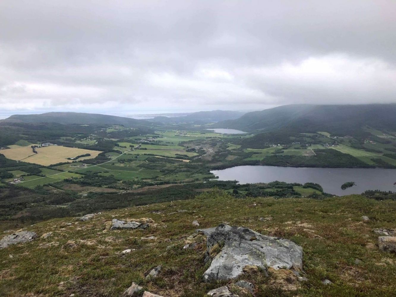
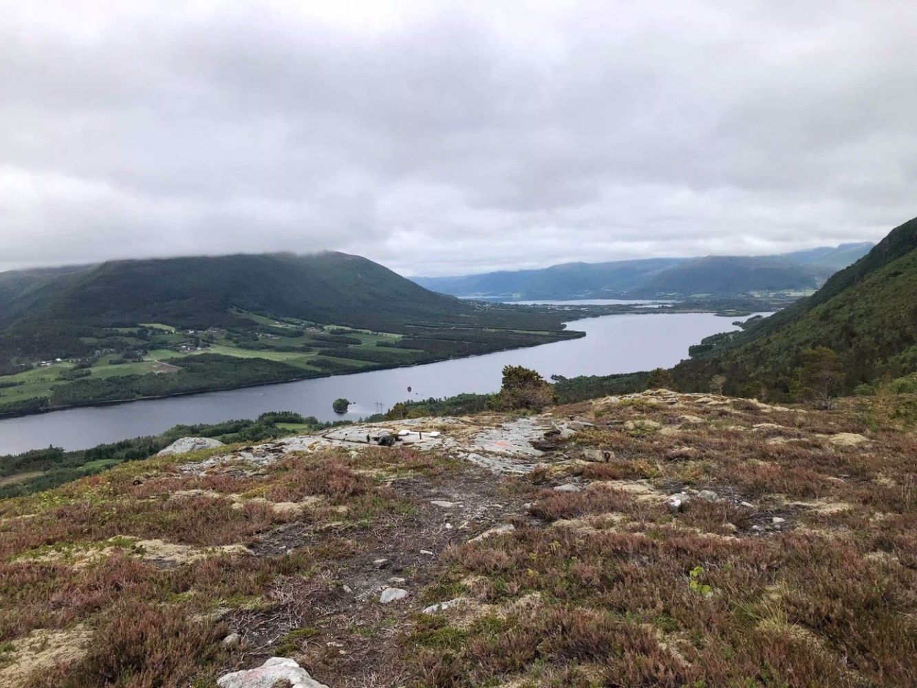
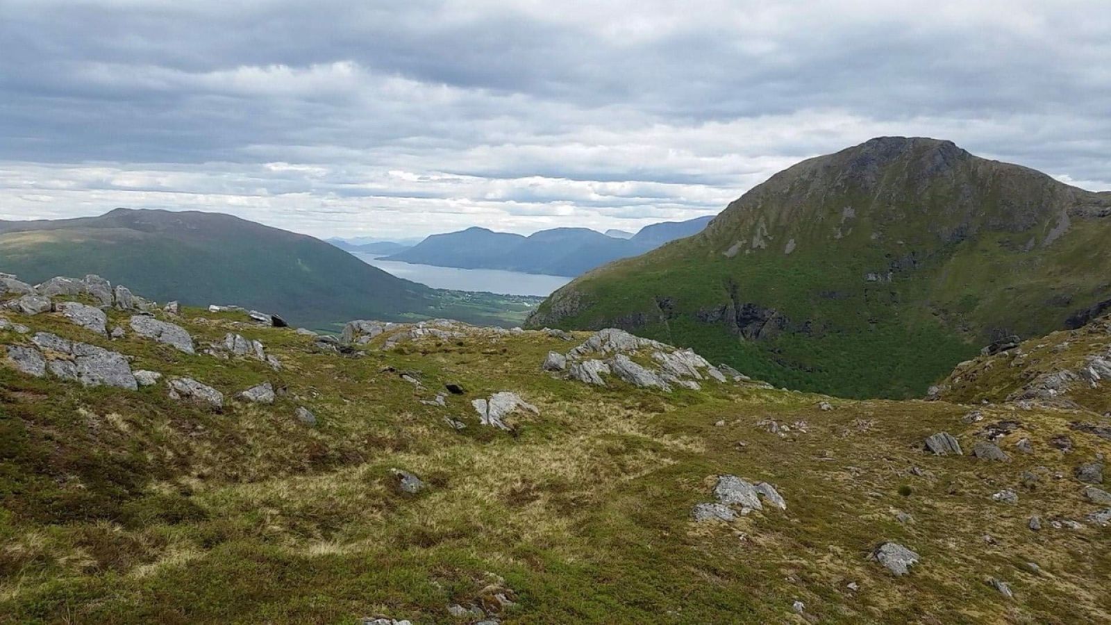
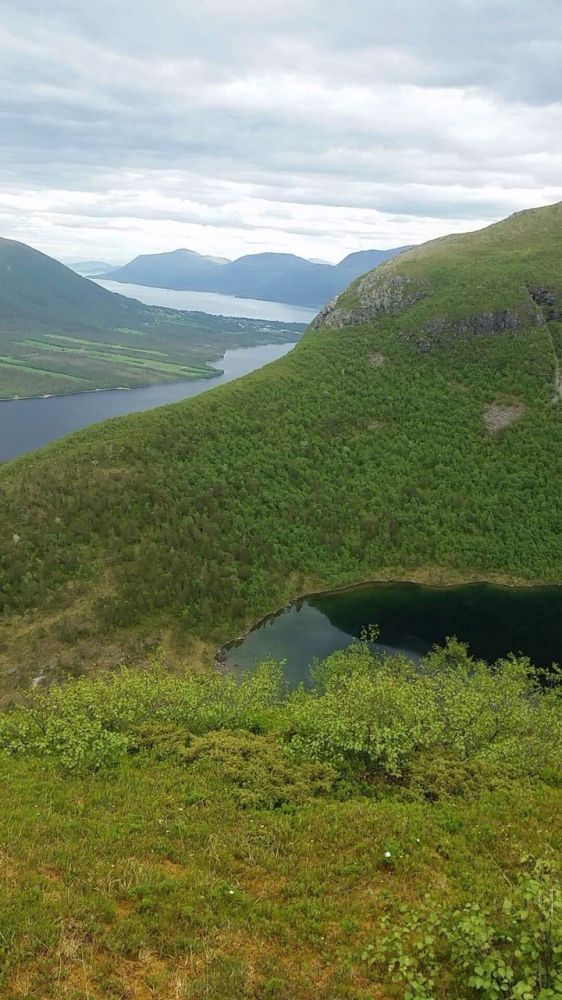
Hælen is a beautiful mountaintop with a view in several directions. It can be combined with a trail to Lake Hældalsvatnet just below the mountain. This challenging hike is colour-coded blue since the final section of the path runs through steep terrain where the surface can be slippery in rainy weather. You will have to do some strenuous climbs at times, but there are trees and branches to hold on to.
Walk for about 50 m along the cultivated field until you reach a forest road that climbs up the hill. You will reach the end of this road after about 800 m. Follow the marked path further up the ridge. Head south over a small marsh until you reach a large rock where the path up to Hælen begins. It may seem a bit steep, but the path is well marked. Mount Hælen lies at 429 metres above sea level with a beautiful view in several directions. From here, you can extend your trail by going further up until you can look down into the valley above Trollkyrkja in the former Fræna Municipality. It is also not far to Mount Blåfjellet from here. Please keep in mind that these trails are not marked, which means that you have to make your own assessment of the route and the terrain in relation to your own physical form and skills. There is fish in the lower lake that lies at 492 meters above sea level. If you look up the valley to the left of the lake, you will see a flat stone which can be a great photo spot.
From Molde and Fræna: Drive along National Road 64 (RV64) to Nås. From the centre of Eide: Drive along National Road 64 (RV64) in the direction of Molde until you reach Nås.Once you are in Nås, turn off RV64 and drive in the direction of National Road 663 (RV663) towards Farstad. After about 4.5 km (about 600 m after you have crossed the river that runs from Lake Hældalsvatnet), take the left turn onto a tractor road. There is a sign marked “Hældalsvatent” next to the road. Drive up for about 50 m and park your car under the high-voltage transmission line. You can also park 50 m further in the direction of Bollia. Be careful at both car parks to avoid driving off the road. Free parking.

 Driving directions
 Route data