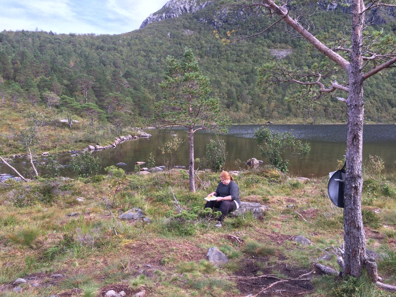
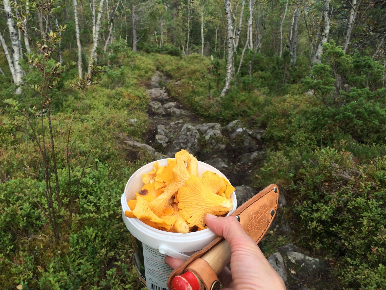
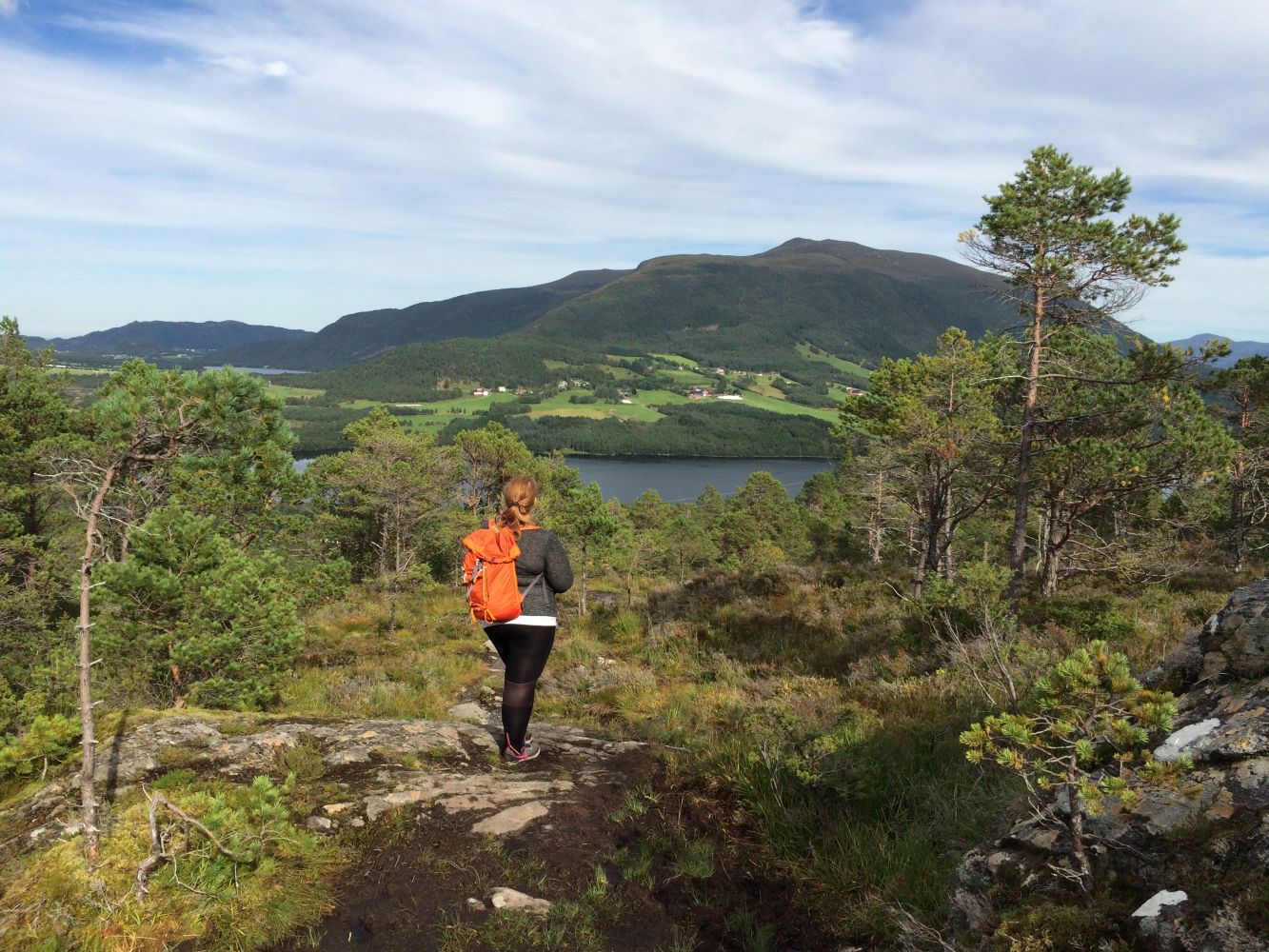
The trail to Lake Hældalsvatnet passes through an amazing natural landscape which is almost untouched by human activity. This trail is a real paradise for both younger and older children. Along the trail you will find flowers and berries, ants and fish both in the river and in the lake. Once you are up by the lake it is hard to describe how enjoyable it is to just lie on your back in the middle of the heathland watching the clouds pass by across the sky.Biological diversity: Grazing area for red deer. Please see: http://dnweb12.dirnat.no/nbinnsyn/asp/faktaark.asp?iid=BA00050991
Route description
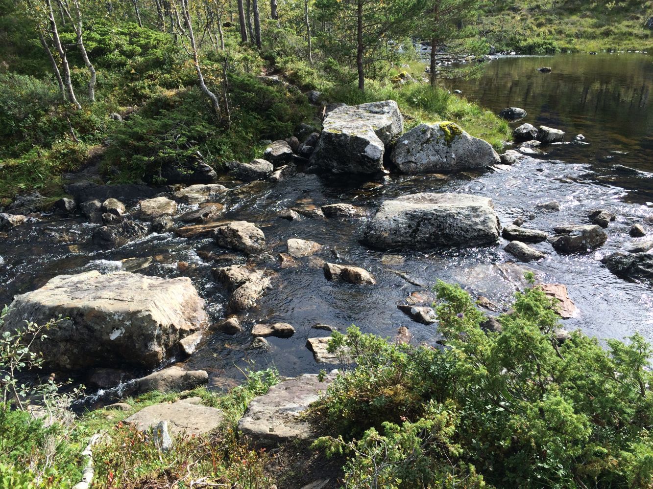
Follow the path as it goes right up from the car park (south direction). The path is well defined and easy to follow as it climbs uphill. On your way up you will come close to the idyllic Hældalselva river which runs along the whole way on the left of the path. The trail is gradually ascending until you come to a small pond called Vasstjønna. Turn left and walk across the river stepping on the stones. Follow the path a little further until you have to cross the river again (to the right). It can be challenging to cross the rivers in high water. The path continues straight ahead for about 200 m across a mash. It can be wet here. Follow the path until you reach Lake Hældalsvatnet. You will see the trail postbox as soon as you reach the lake. There is also a nice rest area a little further ahead. Between the pond and Heldalsvatnet the flow of the river is quite nice and it can be exciting for older children to follow the river up instead of walking along the path.Coordinates:UTM 32 Euref89 EPSG: 32632North: 6975805.0East: 414428.0
Access and parking
From Molde and Fræna: Drive along National Road 64 (Rv64) to Nås.
From the centre of Eide: Drive along National Road 64 (Rv64) in the direction of Molde until you reach Nås.
Once you are in Nås turn off National Road 64 (Rv64) and drive in the direction of National Road 663 (Rv663) towards Farstad. After about 4.5 km (about 600 m after you have crossed the river that runs from Hældalsvatnet) take the left turn onto a tractor road. There is a sign marked “Hældalsvatnet” next to the road. Drive up for about 50 m and park your car in the area under the high-voltage transmission line.
Car park near the high-voltage transmission line. Free parking. Please show your respect.
Hiking route
Blue
Distance
1,3 km one way
Elevation
191 m
Duration
1 t. 10 min.
Sesong
Summer, Autumn
Highest Point
231 masl
Signage
Signed
Mobile coverage
Map route
Surface type
Distance
Sti
1,3
Public transport
There is no direct bus connection to the area. Alternatively, you can take a bus to Nås in Eide and then walk or cycle along County Road 241 (Fv241) up to the starting point of the trail. Please see http://www.177.no

 Driving directions
 Route data