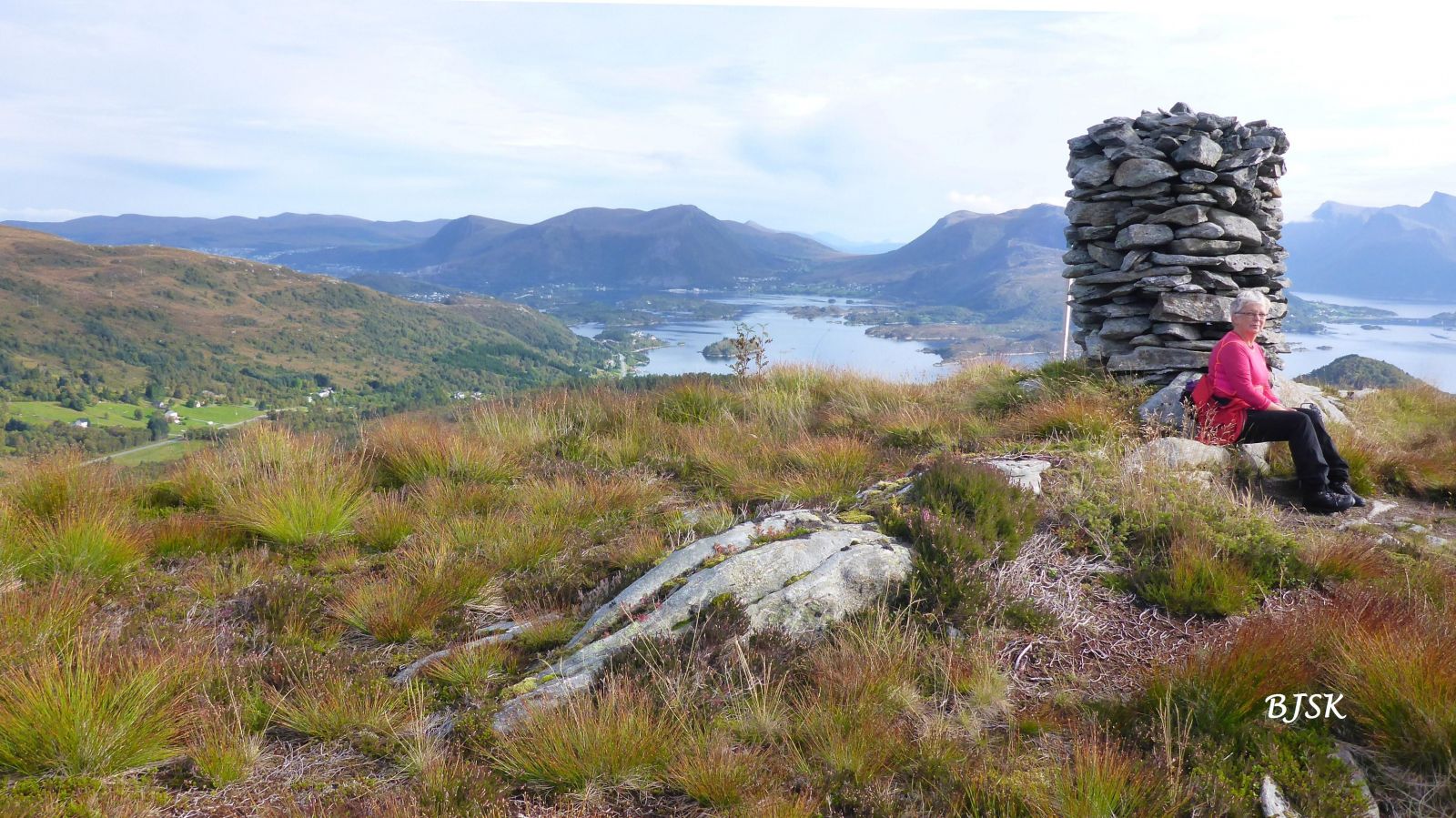
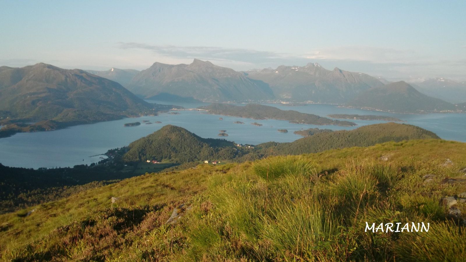
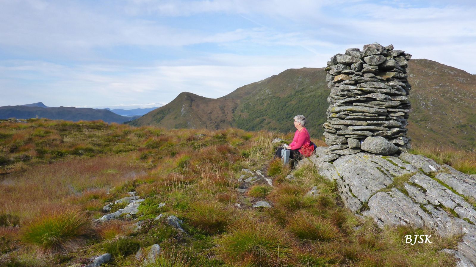
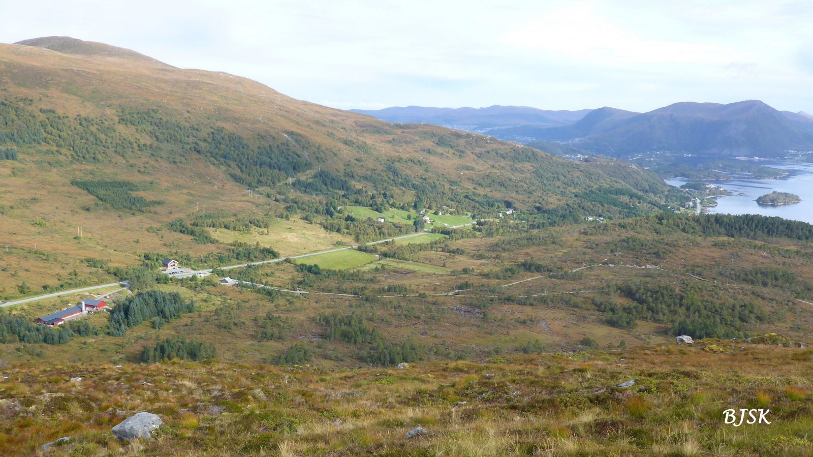
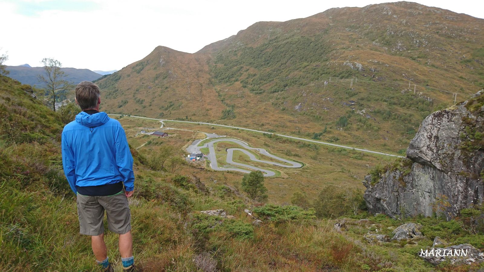
Gyrinakken lies on the border of Sande and Herøy municipalities. This is a fairly easy trail with a nice view in all directions. The Gurskøy Sports Association (Gurskøy IL) set up a trail post on the peak.
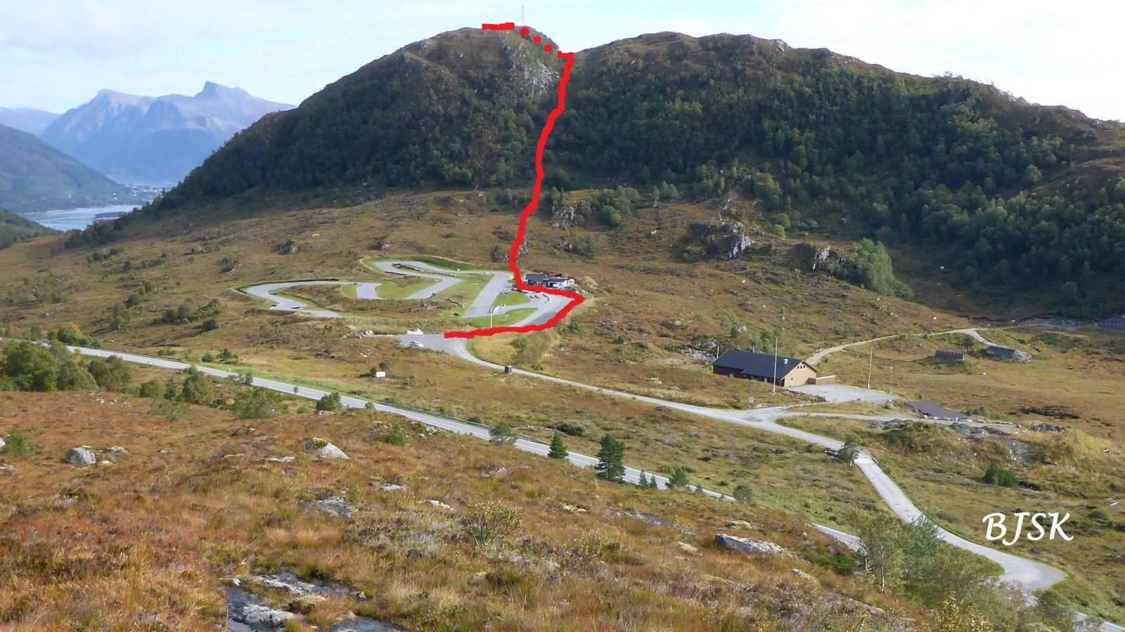
From the car park, follow the south side of the go-kart track for about 200 m. The path begins at the first turn after you have passed the workshop building at Gocartbana. Follow the path as it runs east up the mountain gap on the southwest side of the peak. Once you reach the top of the mountain gap, follow the path as it continues over the marsh and turns north past the mobile mast on the south side of the peak.
The trail starts from Gocartbana, a go-kart track on the south side of County Road 61 (FV61), at the road’s highest point in Leikongeidet.
Park your car at Gocartbana.
Duration
50 min.

Sesong
Spring, Summer, Autumn
| Surface type |
Distance |
| Asfalt |
0,14 |
| Sti |
0,75 |
You have to walk through the area of Gocartbana to reach the starting point of the trail, so please show consideration and be careful if the go-kart track is in use. The speed can be very high.
Hiking map of Ytre Søre Sunnmøre, M711 1119 II, norgeskart.no
 Driving directions
 Route data
GeoJSON