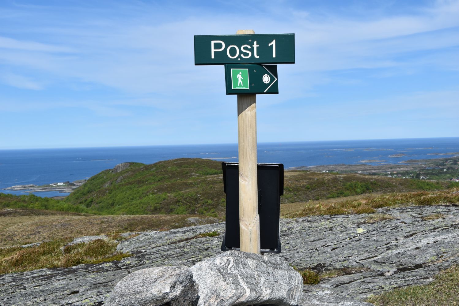
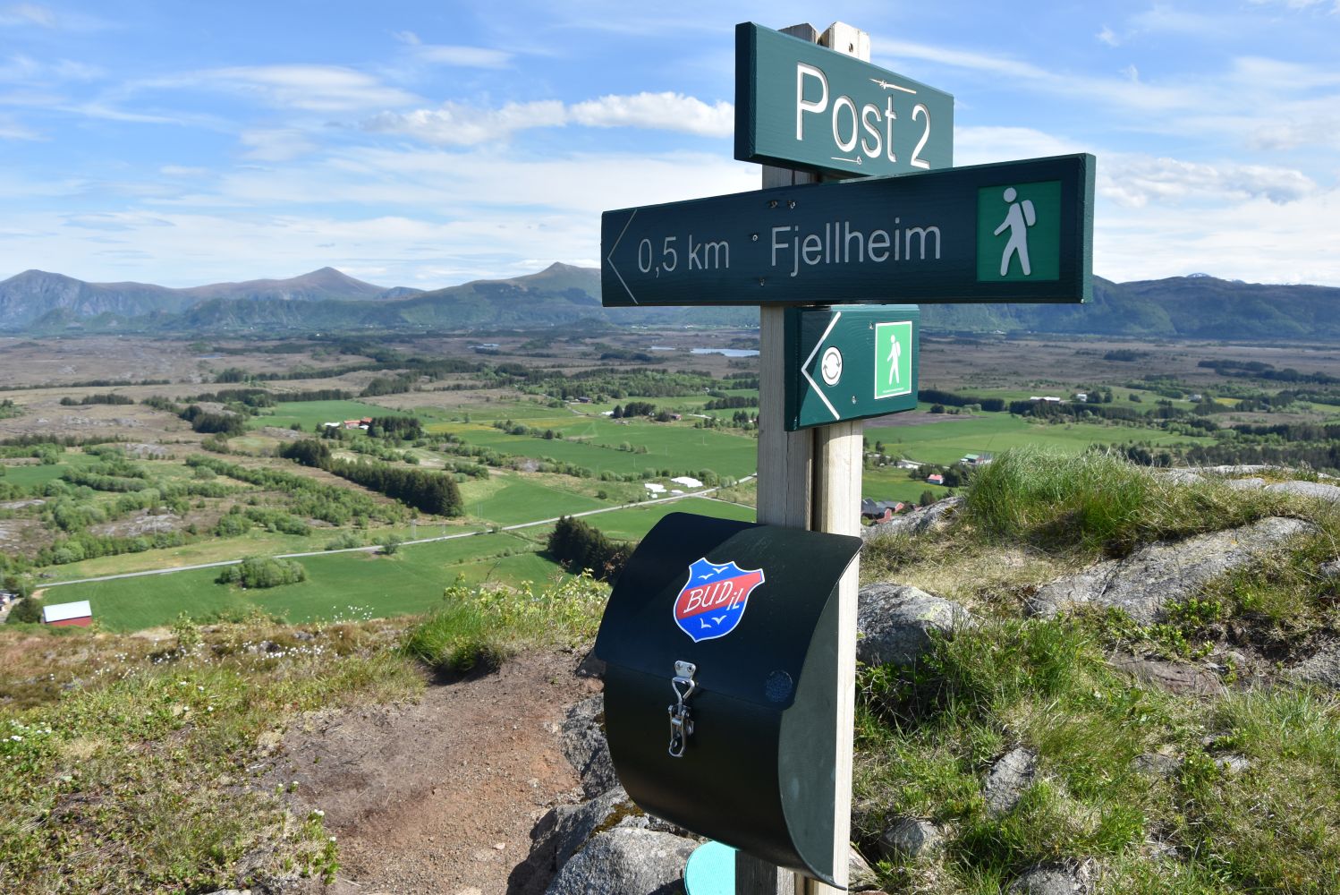
If you are in Bud and have an hour to spare, take a walk up to the mast on Gulberget! You will get an amazing view of the old fishing village and far beyond. There is also a Stikk Ut trail postbox in the case by the mast. The Gulberget range has several tops, and visiting all of them would take you about an hour. The path is easy to follow. It offers great variety and amazing views. The entire circular trail is now well marked and equipped with trail postboxes and signposts. If you want to do the entire loop, just follow the signs from the place where you walk up the hill to posts no. 1–6. You will find post 7 down by the gate/water plant on your way up because it was set up later than the other six.
Route description
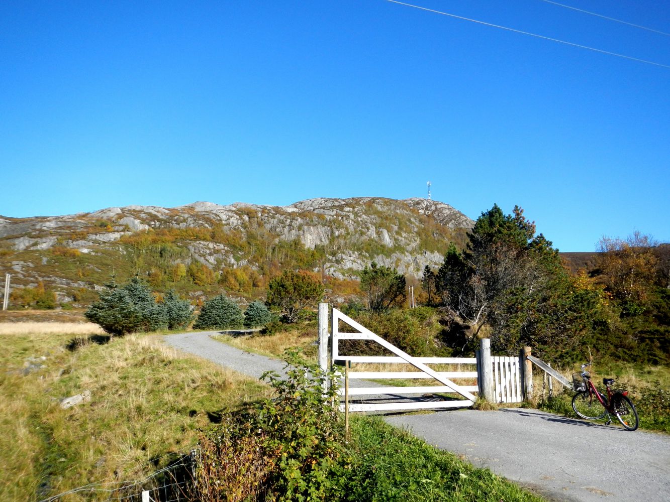
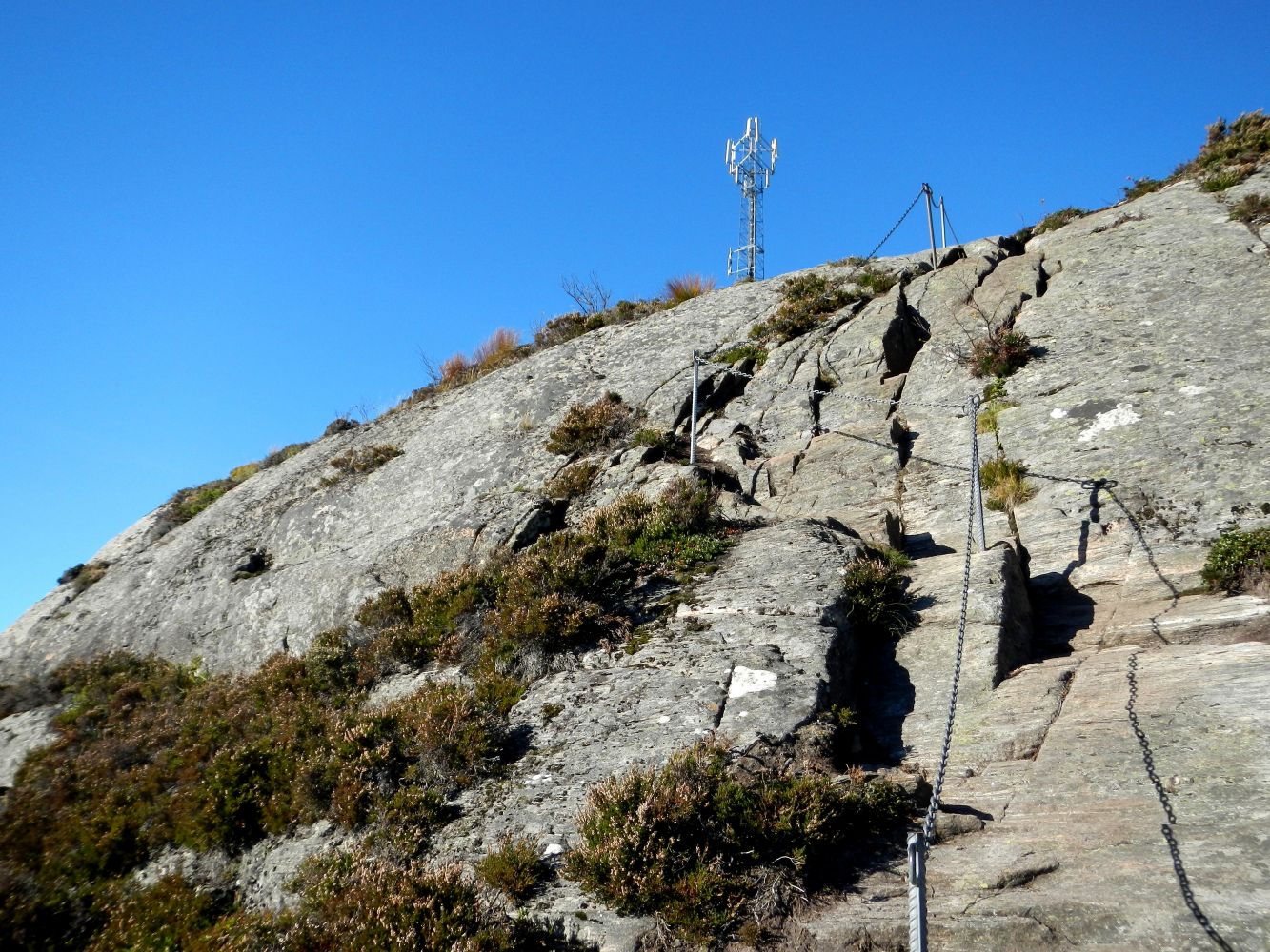
You can park your car by the cemetery in Bud and walk through the gate just north of the cemetery. You will see the signs pointing to the start of the trail. Follow the gravel road up to the water plant, walk through the gate, and continue up the path. You will come across a sign and an overview map that shows the entire route. If you turn right, you will find post 1 and continue on the circular route. If you turn left, you will come right up to post 6 and the mast with the Stikk Ut trail postbox. The final section of the trail leading up to the mast has a bare rock surface and is equipped with a chain to hold on to. Be careful here, especially in wet weather. This trail is graded blue just because of this section. Of course, we hope you will follow the entire circular route once you reach the fork in the path. It is an amazing fitness trail with a fantastic view!
Access and parking
Park your car by the cemetery, just before the centre of Bud. Cross the road and start walking up.
The car park is next to the cemetery in Bud which will be before the centre of the village if you are driving from Molde.
Hiking route
Blue
Distance
5,19 km one way
Elevation
336 m
Duration
2 t. 10 min.
Sesong
Winter, Spring, Summer, Autumn
Highest Point
150 masl
Signage
Both signed and marked
Map route
Surface type
Distance
Sti
5
Public transport
FRAM operates a bus service from Molde to Bud. Get off the bus by the cemetery just before the centre.

 Driving directions
 Route data