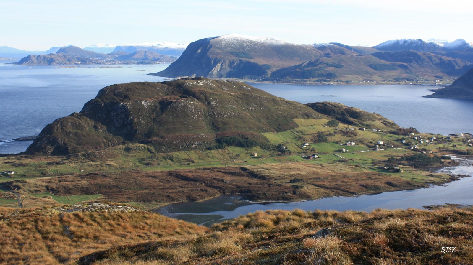
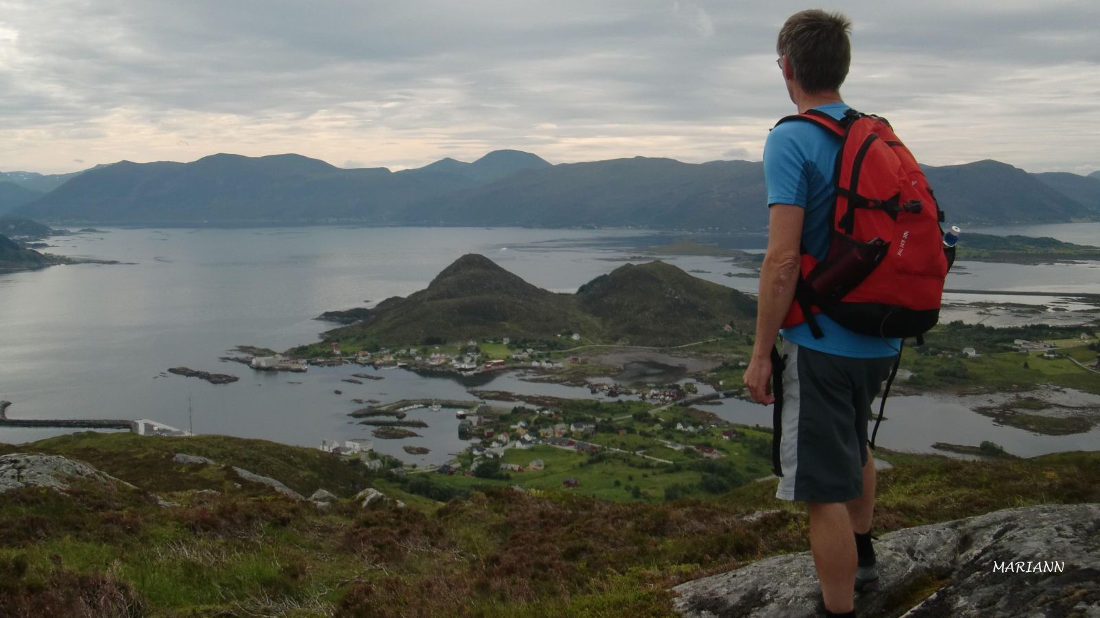
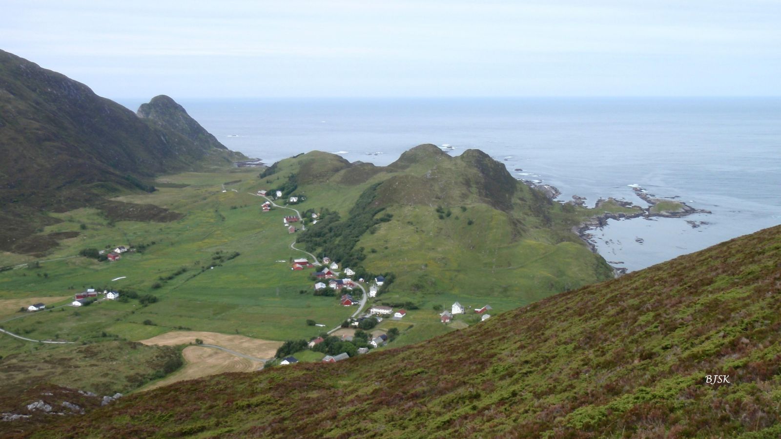
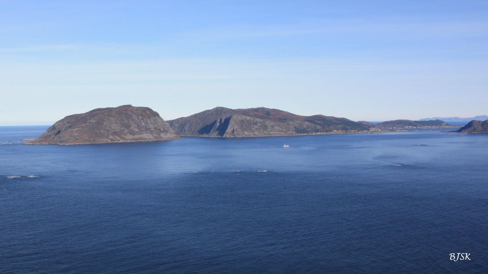
Grøntua and Hornet are two peaks on the north side of Sandshamna. Both offer a great view of the outer Sunnmøre and the ocean. Hornet is the sixth and Grøntua is the seventh peak in the Sjutoppsturen (the Seven Summits Trail) organised by Sandsøy IL every Easter. The Sandsøy Sports Association (Sandsøy IL) also has a fitness trail post on Grøntua.
Grøntua and Hornet are easily accessible from both Sandshamn and Våge. From Sandshamn: walk for 200 m in the direction of Våge, turn right up a steep hill, and walk for another 300 m to a barn on the right side of the road. The path begins on the east side of the barn and follows the fence up the field. Once you are above the field, you will see red markers along the path that will lead you all the way to the peaks. The path splits when you reach the top plateau. From here, walk straight ahead to get to Grøntua and left to get to Hornet. From Våge: Drive from Sandshamn towards Våge for 1.5 km and park your car at the exit road on the left side of the main road. Walk for 100 m in the direction of Våge and turn right when you see a barn. This is where the path begins. The path follows the fence over a marshy area and climbs steeply up to the top of Hornet. From there, the path follows the ridge to Grøntua. The entire trail is well marked. The hike to Grøntua and Hornet can also be a mountain pass with the additional 1.4 km of walking along the road.
Take a ferry from Larsnes or Åram to Voksa. Drive for 5.5 km from the ferry terminal to Sandshamn. Make sure to check the ferry timetable before the hike. The ferries depart approximately every 2 hours. You can also combine this hike with cycling on Sandsøya Island, in which case you only need to take your bicycle on the ferry. It is also possible to come with your own boat and use the guest harbour in Sandshamn.
There are spacious car parks in Sandshamn where it is easiest to park. If you park in Våge, there is only a small exit road available.
Duration
1 t. 25 min.

Sesong
Spring, Summer, Autumn
| Surface type |
Distance |
| Asfalt |
0,3 |
| Sti |
2,5 |
Ytre Søre Sunnmøre hiking map, M711 1119 IV, Sunnmorskart.no
 Driving directions
 Route data
GeoJSON