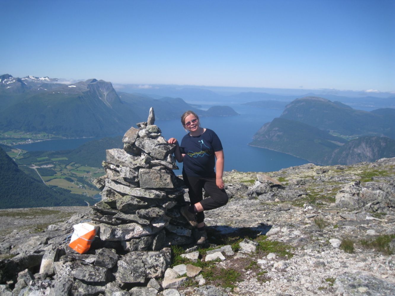
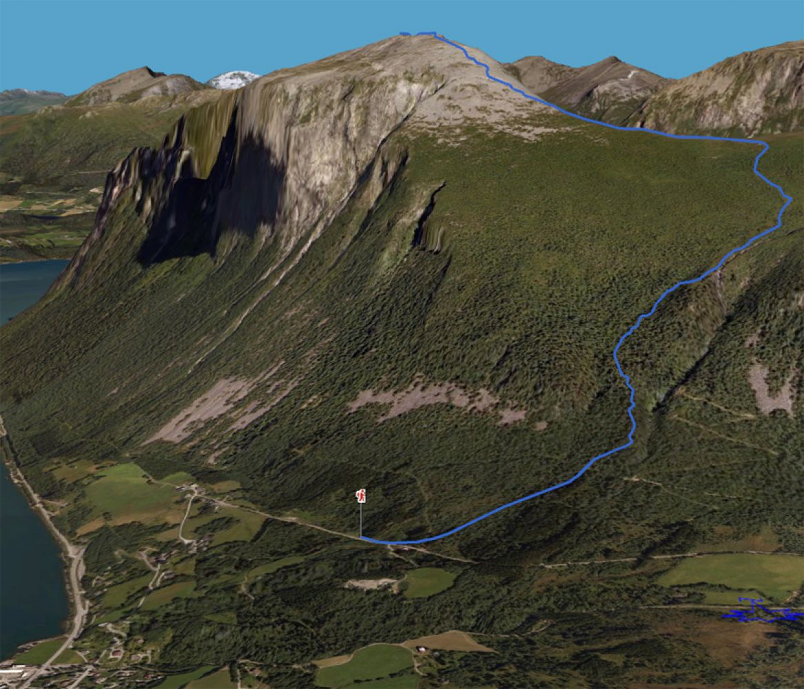
Between the village of Innfjorden and the Innfjord Tunnel, there is a sign to Gridset near the Vikelva river, next to the cement factory. Turn left at the first junction and follow the road past the residential area and up to the farmyard. Take the turn to the right and drive along the private road up to the car park. You will see an information board that tells you all about the trail, and there are stones that mark the path as it goes up. A lot of work has been done in recent years to reconstruct the trail and set up waymarks with the old local names along the path. Follow the path for about 100 meters further before it turns up to the left just after the river. The path follows the river for a while and then goes into the forest. It later crosses a tractor road. The path climbs relatively steeply up to Førnakken which is a nice picnic area with its own information board. From here, the path flattens out to an extent and follows a section of the Tverråa river before it goes up through the final section towards Presten. There is a large cairn at the fork in the path. Take the left turn marked with the sign for Grisetskolten. Follow the path as it gradually follows the edge of the mountain. The path gets gradually steeper as it approaches the scree area. The path goes across the scree, and you will see parts of it through the terrain. There are some cairns showing you the way out, but when you notice that the path starts to round the edge over to the left, walk right across the scree. The terrain will soon flatten out, and you can continue walking through moderate terrain and then follow the ridge up to the top. Source:

 Driving directions
 Route data