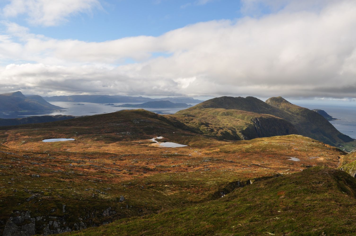
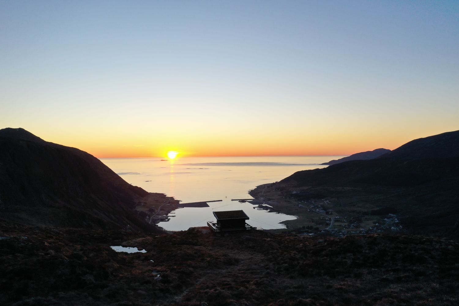
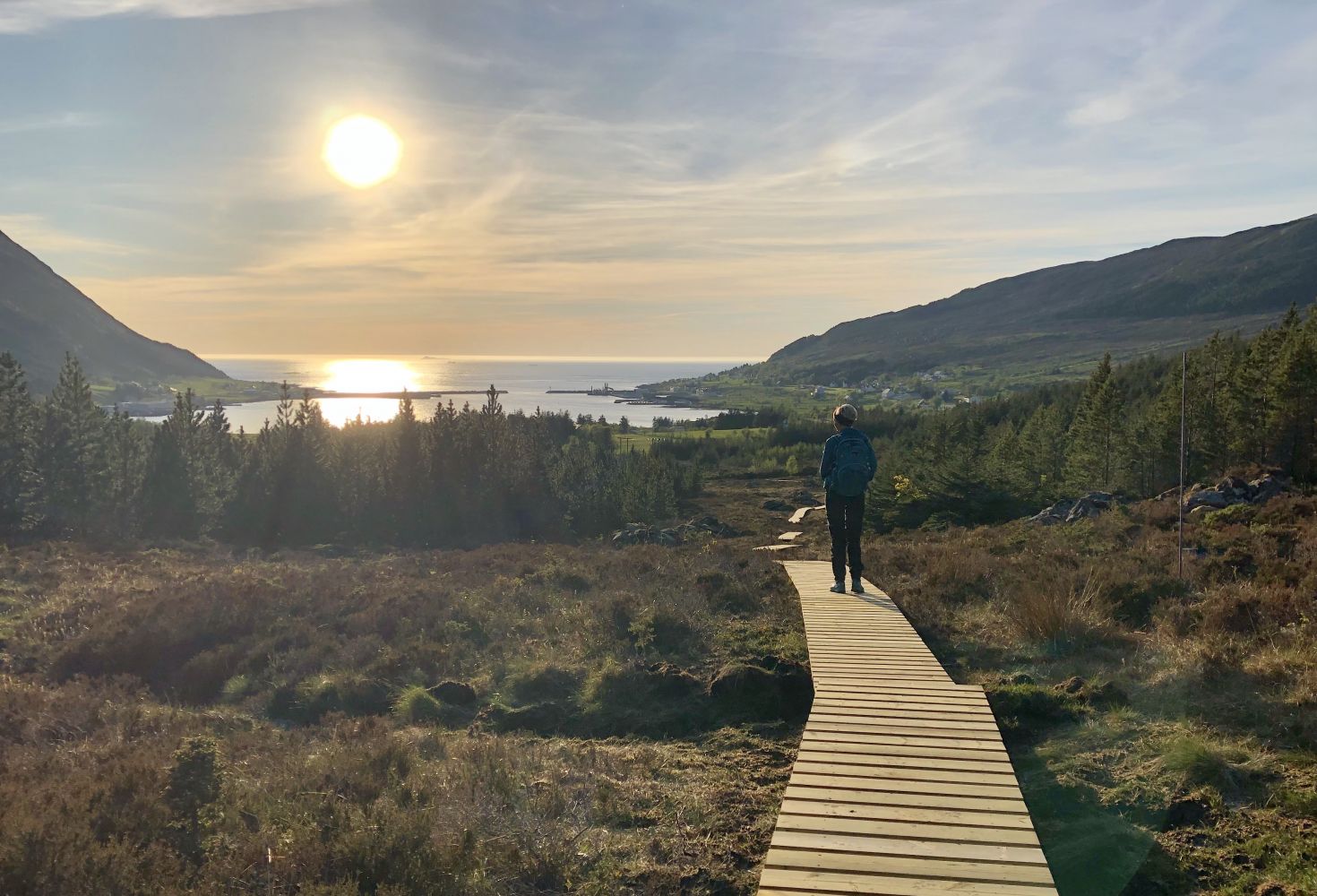
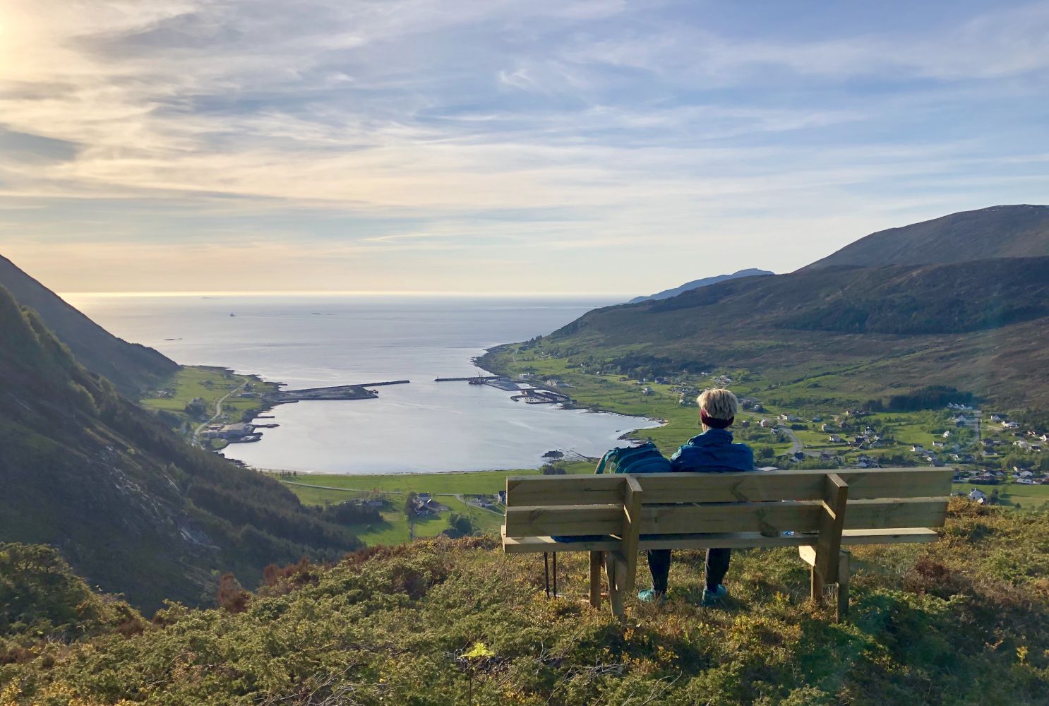
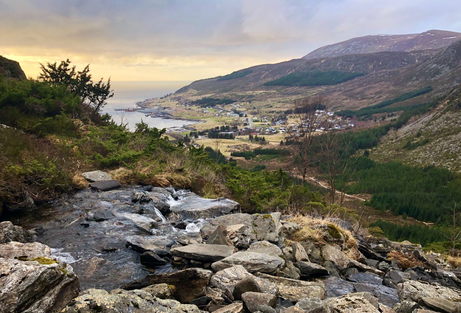
This trail offers a scenic view over the village. Once you reach the top, you will also see both Herøy and Vanylven, not to forget the ocean. You will also enjoy a view of the Sunnmørsalpane mountain range.
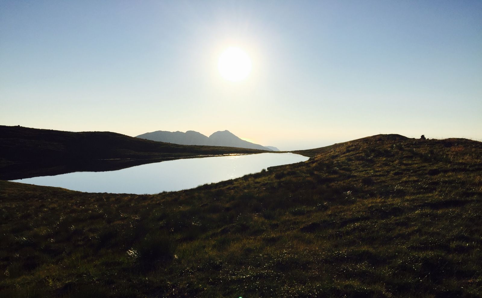
In summer, you can take a refreshing dip in Lake Klovevatnet. The water is shallow, so the temperature quickly becomes warm enough for swimming.
Parts of the route follow the path between Gjerdsvika and Gursken that was used before the road around Gjøneset was built.
You will cross a small river several times, so it is possible to fill your drinking bottle along the way. The Gjerdsvika Sport Association (Gjerdsvika IL) has a postbox with a trail journal at the top.
The trail starts from the main road (a sign for Kloven is located on the farm 40 metres from the car park). Follow the tractor road for about 500 metres until you come to a marked path.
After you turn off the tractor road, the rest of the trail is marked or clearly defined.
It is easiest to park your car by the power station (Tussa).

 Driving directions
 Route data