Gjengstøknoken, 398 m a.s.l.
Heim
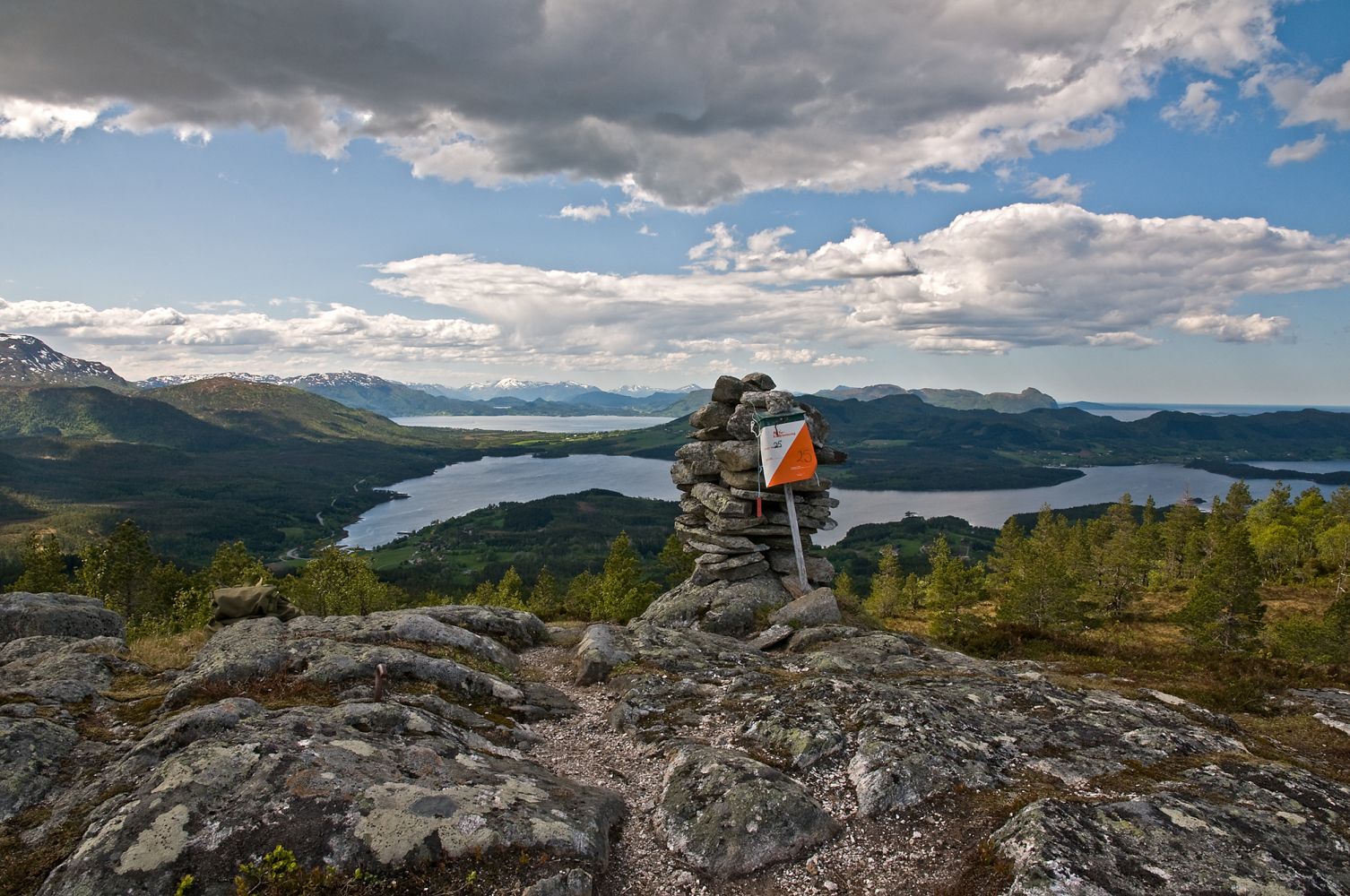
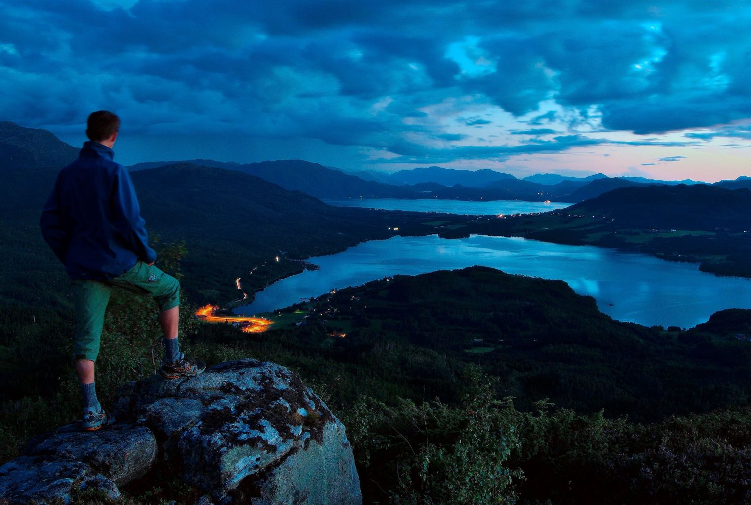
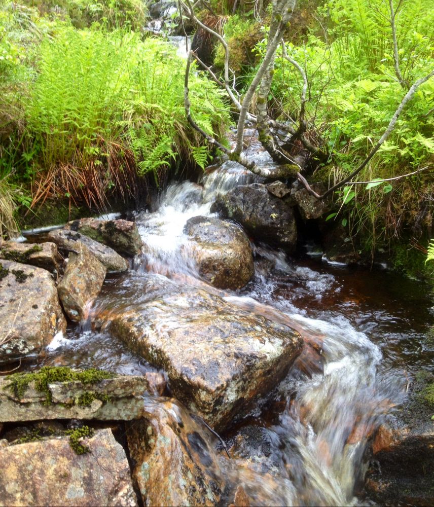
This is an excellent trail for everyone! The first metres of this trail follow a gravel road, but you will soon turn onto an overgrown forest cart track. Large sections of the trail go along a babbling brook with small waterfalls in it. You will walk past many different types of trees on your way up the hill. Just before the top you will pass a small wooden cabin, and this is where the road ends. The last 200 metres are quite steep, but you will be rewarded with a great view from the top of Knoken. Here you can take a minute and gaze over the fjord as well as the beautiful and well-preserved cultural landscape of Halsa municipality.
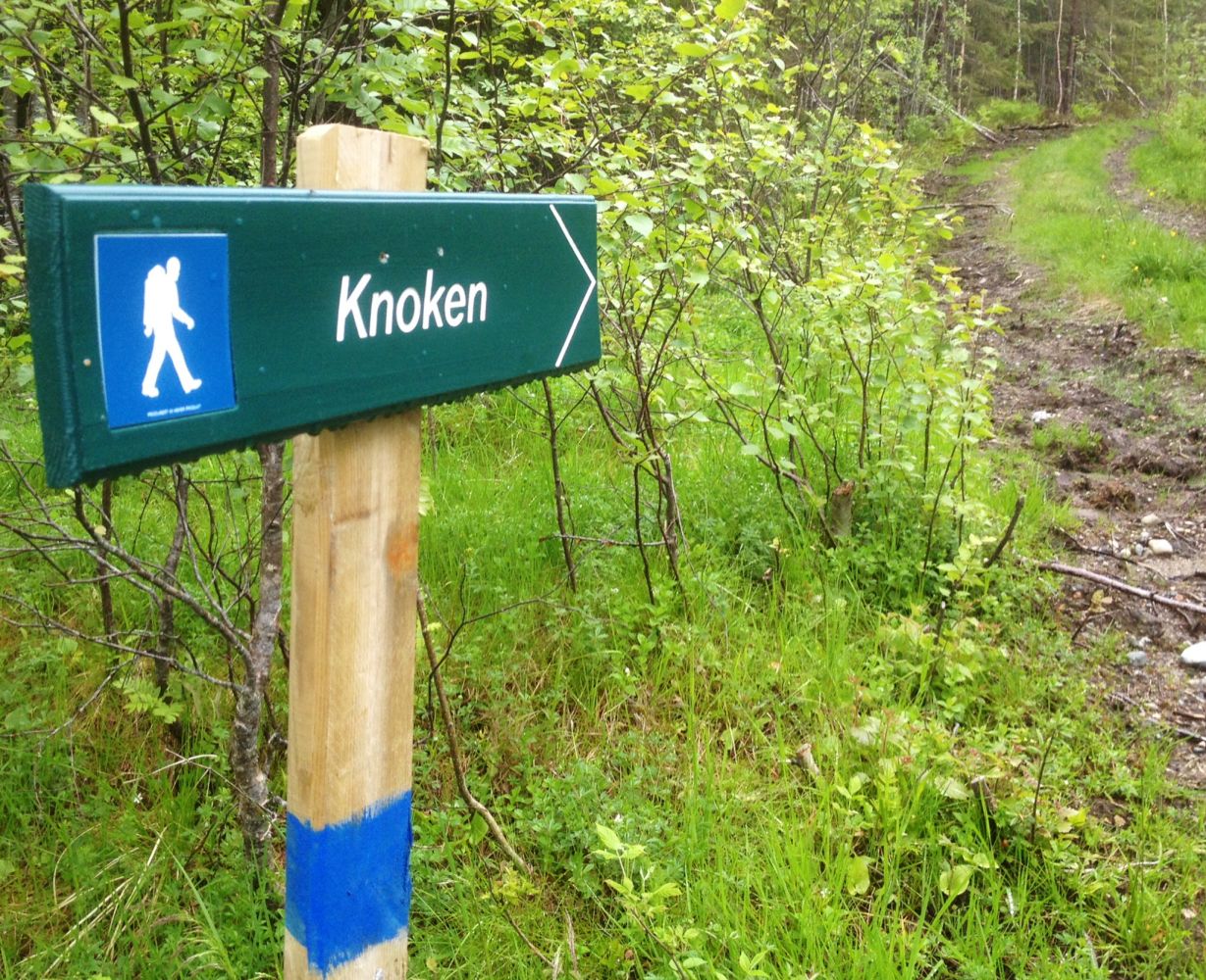
Start walking from the timber stacking area and at the sign, turn to the right onto an overgrown forest cart track as it climbs uphill. As you follow the waymarked trail uphill, it changes between a cart track and a well-defined path. There are some tree roots and slippery patches on the last 200 metres of the way which are also quite steep. Once you reach the top, walk to the left and up towards the cairn. Here you will see a trail postbox.
Turn off E39 not far from the junction in Betna onto a small flat area. Drive north from Betna following E39 up a small hill until you drive out of the area with street lights and past a couple of 80 km/h speed limit signs. Swing to the right at the first turnoff after you pass the signs. Follow the road for about 850 km up to the timber stacking area and park your car there.
If you are driving from Liabø southwards, follow E39 as it swings almost all the way to Betna. Soon after you see 60 km/h speed limits before Betna, start looking for a turnoff on your left side. Turn off here and follow this road for about 850 metres. Park your car at the timber stacking area.
GPS coordinates: N63° 05.757' E8° 21.468'
Duration
1 t. 50 min.

Sesong
Spring, Summer, Autumn
Signage
Both signed and marked
| Surface type |
Distance |
| Sti |
2 |
1421 III Halsa, tourist map of Halsa
 Driving directions
 Route data
GeoJSON