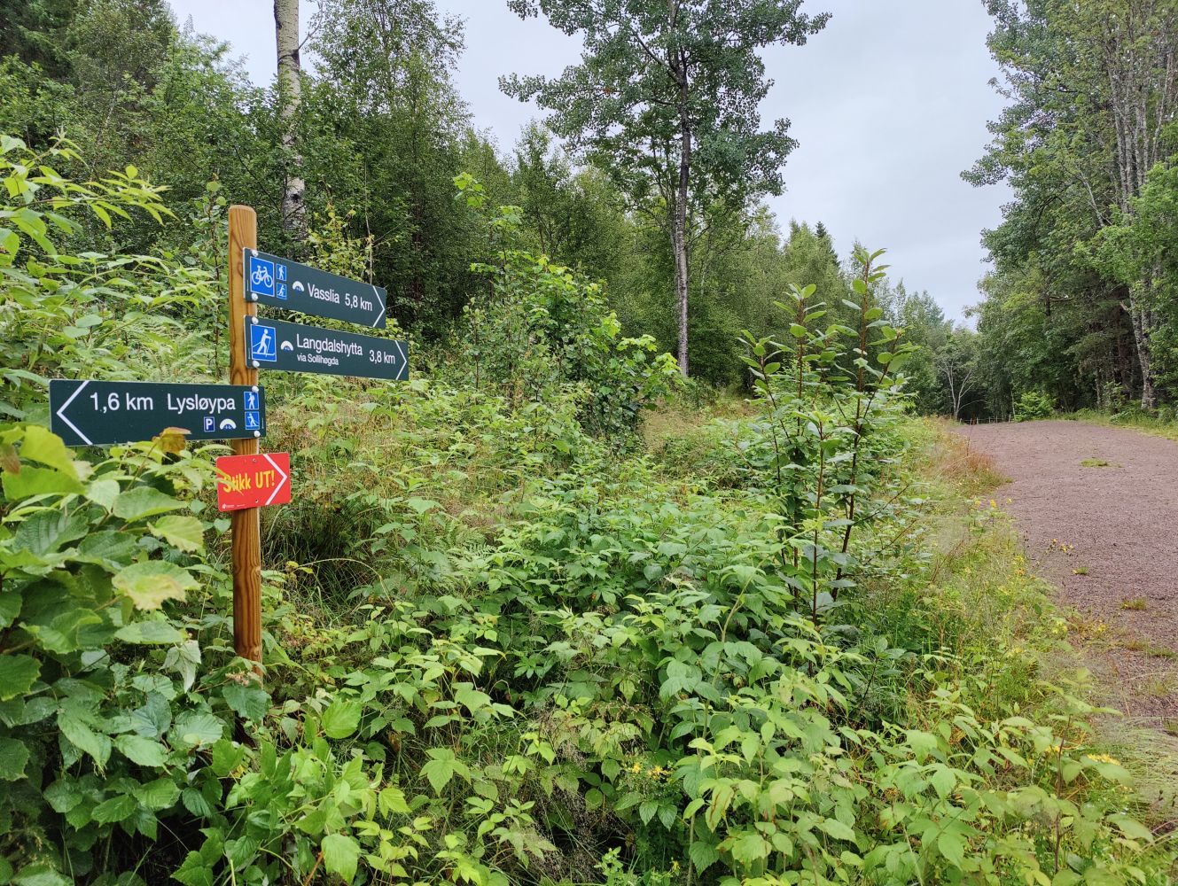
Geilhaugen Near the Tingvoll Museum
Tingvoll
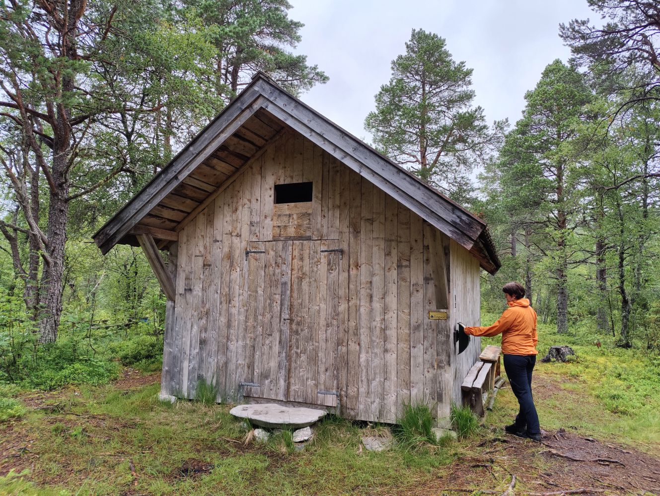
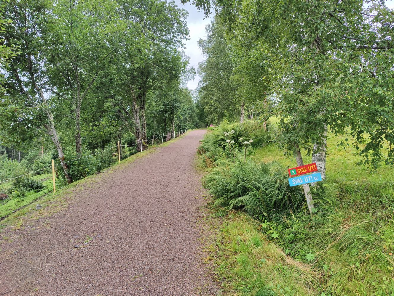
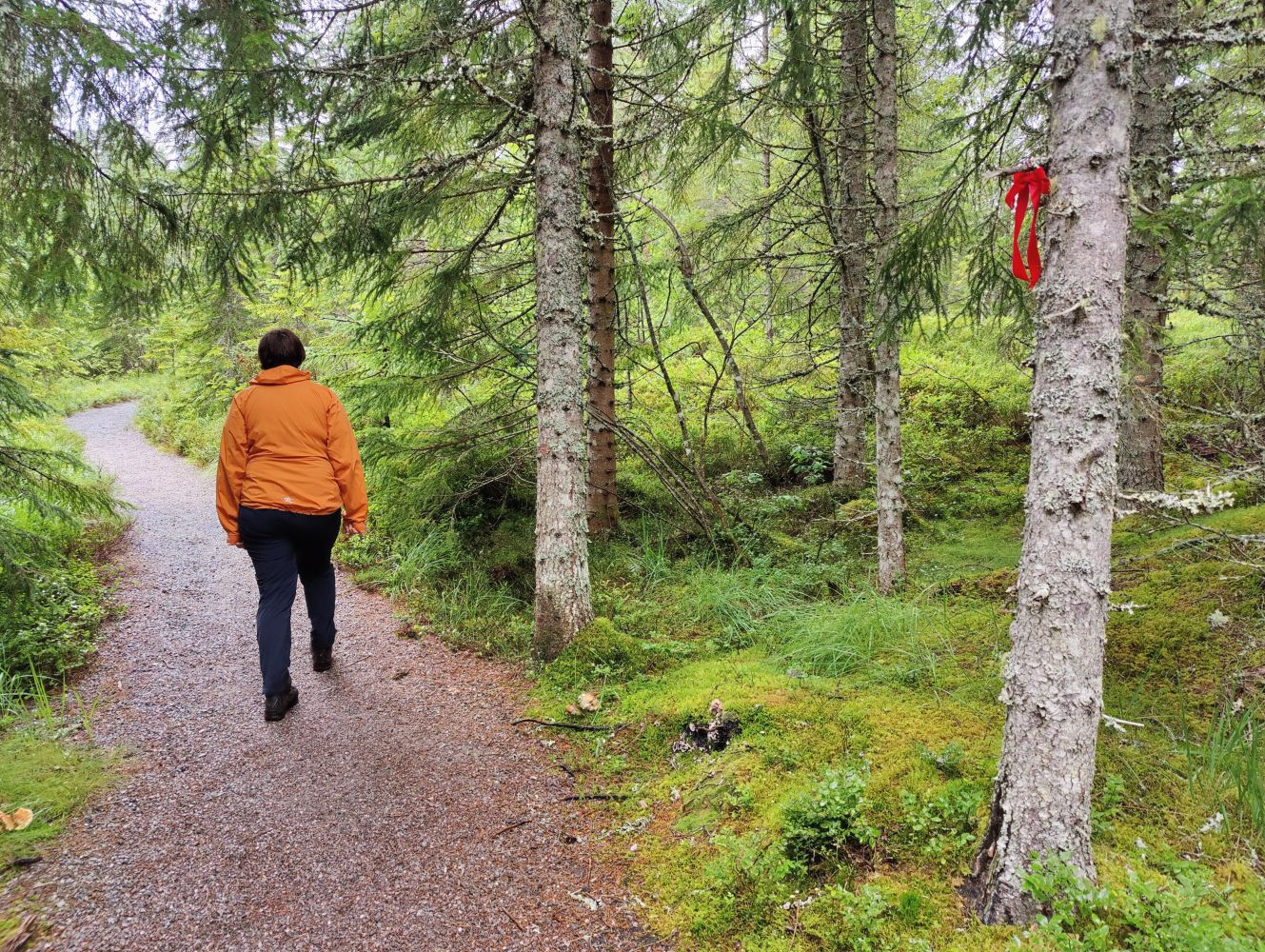
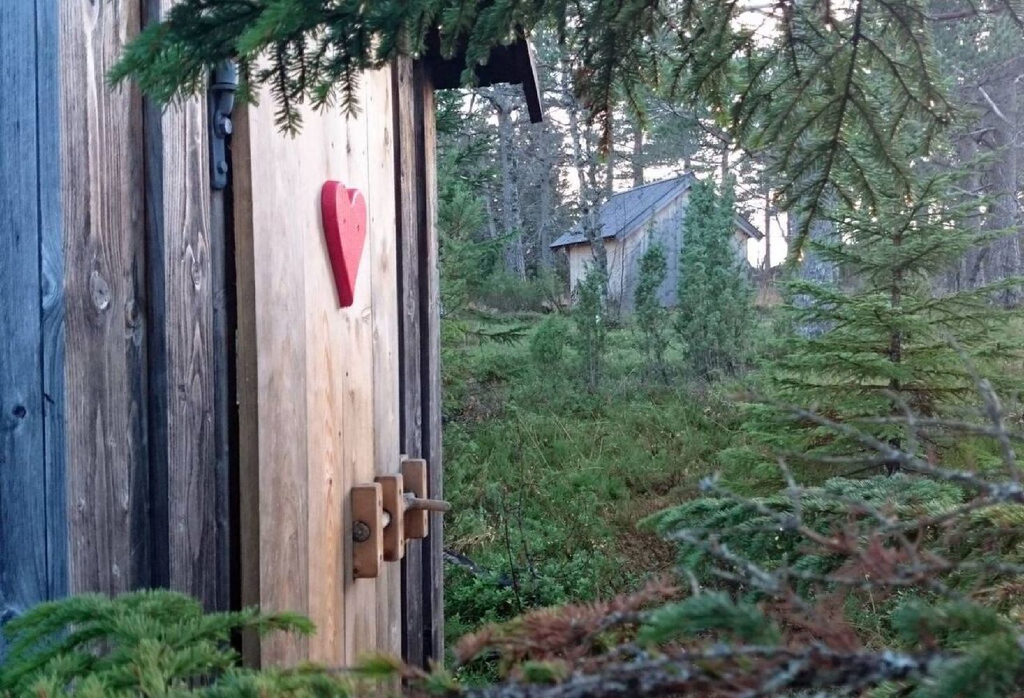
This is an easy hike that everyone can enjoy. The trail takes you through an idyllic cultural landscape of the museum area first, and you will walk past some small ponds and a water wheel. You will then come across a gravel-surfaced hiking trail which will take you all the way up to Geilhaugen Hill. You will find Maretbua here, a traditional cabin that is open for everyone. There is a separate small toilet building in the little forest behind the cabin which is suitable for people of all ages.
The trail destination is a wooden forest hut with a Stikk Ut trail postbox on the wall. This is a perfect spot for taking a rest or enjoying the beautiful view over the centre of Tingvoll Municipality.
Start walking from the museum and follow the tractor road as it swings and goes up behind the museum buildings. A little further up, a path begins on the left of the tractor road and runs into the forest. Once you reach Geilhaugen, you will find a cabin, some benches, and a small place for a fire. A short detour just south of the well-defined path will take you to a hill that offers a view of Tingvollvågen and the magnificent mountains of Romsdal.
Drive along National Road 70 (Rv 70) to Tingvoll. To the west of the centre, you will see a sign for the museum. Follow this road for 1.7 km until you reach a car park in Tingvollia. You will see a sign here for Geilhaugen and the Stikk UT hiking trail.
Coordinates of the turnoff from the main road: Decimal degrees: North: 62.91718470 and East: 8.19898828
You can park your car next to the Tingvoll Museum.

 Driving directions
 Route data