Gangskaret, Malme Fjord — Molde
Hustadvika
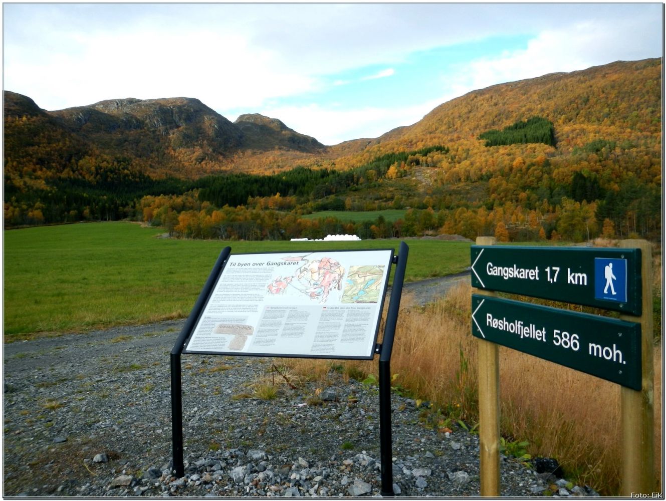
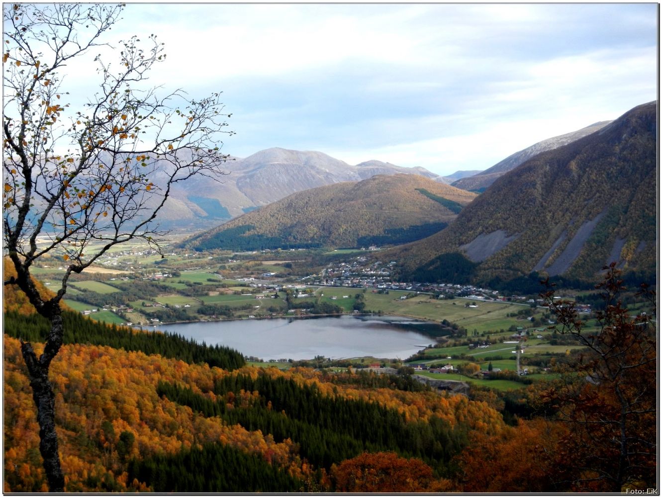
This is one of the walking paths along the cleft connecting Fræna and Molde. The section of the path on the side of Fræna has recently been marked with both stakes and information posts. In the old times the Gangskaret path was used as the most practical way to get to and from Molde for the locals. At the starting point of the trail, which is the car park to the northeast of the toll post for the Tussen Tunnel, you will find a nice information board which will tell you all about this historical walking path. Near Gangskartjønna you will also find a board with a funny robbery story, but we are not going to give away any details here :-) It took us about two and a half hours to complete this trail with enough time for both some rest and photo taking along the way.
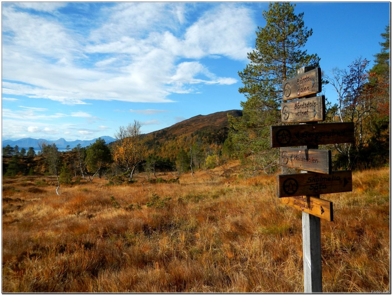
Our trail started on the side of Fræna, and we followed the tractor road up the hill to the left. We went through the gate and continued up the road. You will have to go through quite a steep patch before it all flattens out near the Gangskartjønna pond, and then you will reach the Moldemarka area. You will find convenient waymarking along the way with the signs pointing in many different directions. We were a bit unsure of the way further a couple of times along the trail, but we made our choice in the end.
We finished our trail on the side of Molde at the car park in Nordbyen, Jensgurilia. From here, we were given a lift down to the city from other hikers in Moldemarka. The bus passes nearby as well. You can take a bus back to the starting point near the Tussen Tunnel from the centre of Molde.
The trail starts from the car park on the left, just before the Tussen Tunnel on the side of Fræna. If you are coming from Molde by bus, get off at the bus stop right at the start of the trail on the opposite side of the road.
The car park lies about 200 metres to the northwest of the Tussen Tunnel.
Duration
2 t. 25 min.

Signage
No signage or markings
| Surface type |
Distance |
| Sti |
4 |
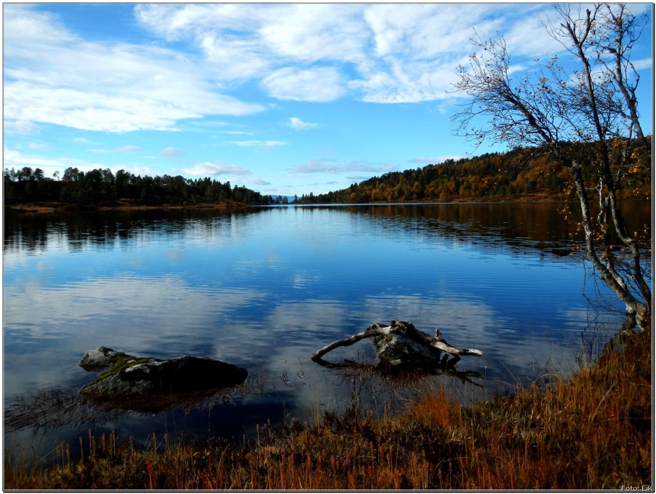
It is wet almost all the way, so we chose rubber boots. There are several paths running across the area and sometimes it can be difficult to choose the “right” one. The path we chose, that is shown as the GPS track below, drifts a bit further to the east compared to the suggested route you will see at the information board near the start of the trail. We went over the dam at Bårdsdalsvatnet lake and followed the hiking trail from there. The route suggested by the signpost lies to the east of both Bårdsdalsvatnet and Bergsvatnet lakes.
 Driving directions
 Route data
GeoJSON