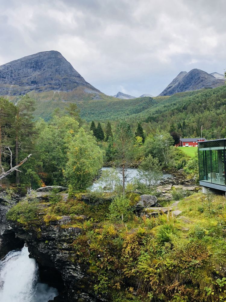
The Old Road from Alstad to Grønning
Fjord
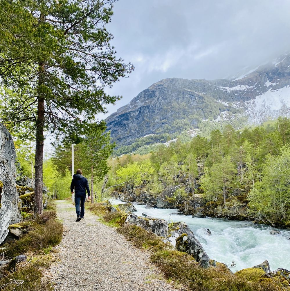
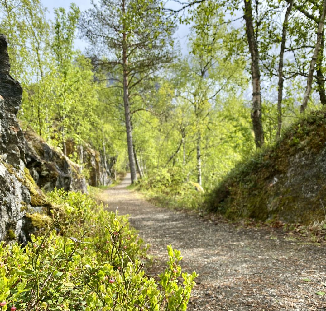
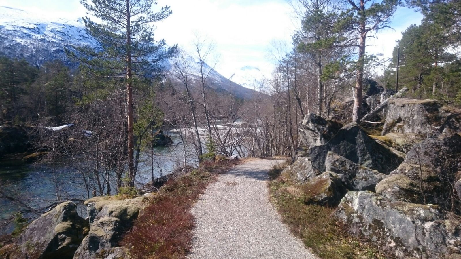
This is a nice and easy hike that follows an old road between Alstad and Grønning. The trail is suitable for all age groups. After about 30 metres along the forest path, you will walk on a gravel road through moderate terrain the entire time. Half of this trail goes along the Valldøla river. At the bank of the river in Løygjerdet, there is an opportunity to take a rest break along the way.
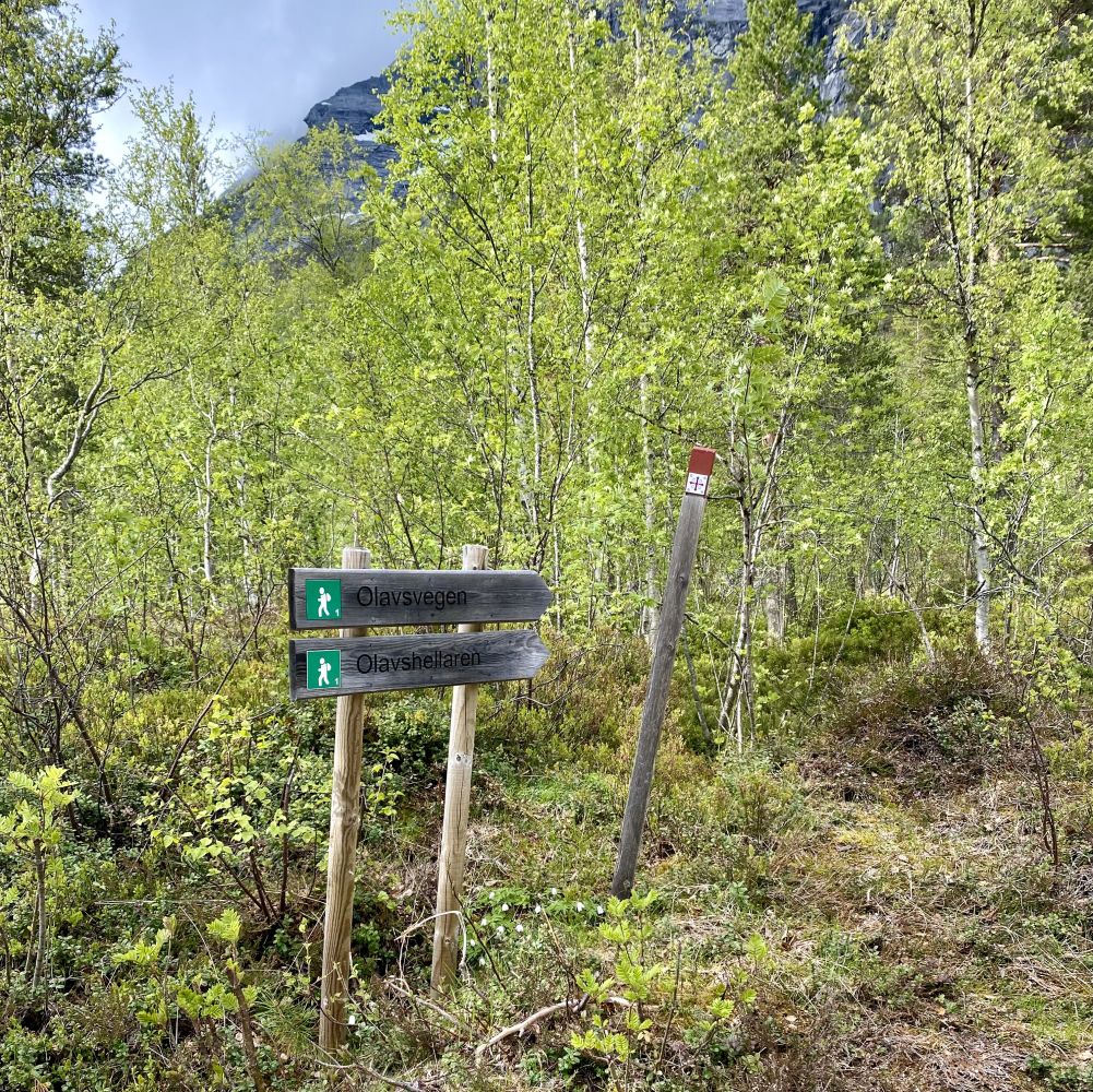
The trail starts from the car park at Gudbrandsjuvet. Walk along the county road for 70 metres and turn left at the sign to Juvet. After following the gravel road for 50 metres, you will see a Stikk Ut sign. There is also a sign to Olavsvegen here. Follow the forest path up to the right for about 30 metres. Take the turn to the right again and walk further along the gravel road to Grønning. After walking for 600 metres, cross the county road and walk further along the Valldøla river. You will come to a place called Løygjerdet with benches where you can rest. After you pass Løygjerdet, the road will get narrower and slightly more uneven. You will get to enjoy a great view down to the river.
The gravel road ends as it comes to the county road right before Grønning. You have several options here. You can continue walking onto a forest path on the other side of the county road (Olavsvegen), walk further along the county road to Grønning or follow the same way back to the starting point.
You can park your car at Gudbrandsjuvet. No parking fee applies.

 Driving directions
 Route data