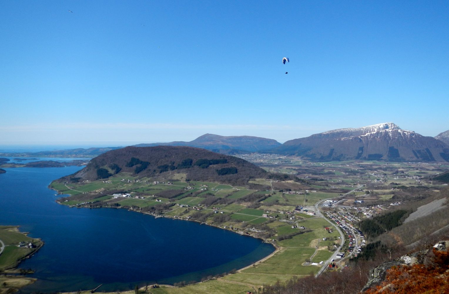
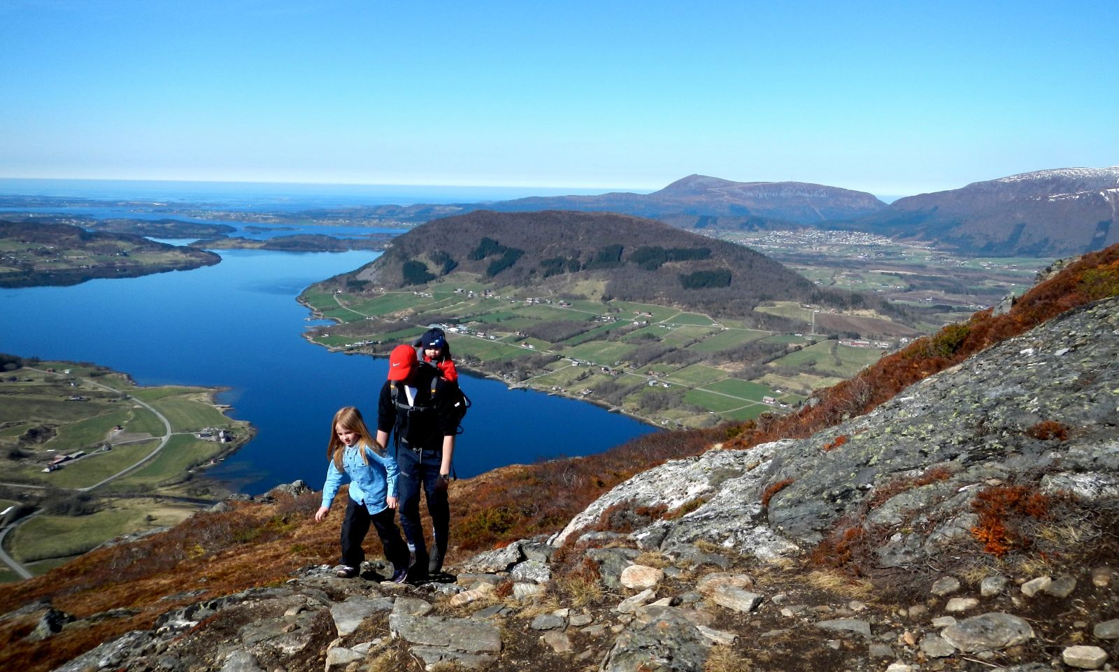
This is a lovely trail on the inside of Fræna that goes right up from the bottom of the Malme Fjord. You do not need to walk a long way up to get a great view towards the west.
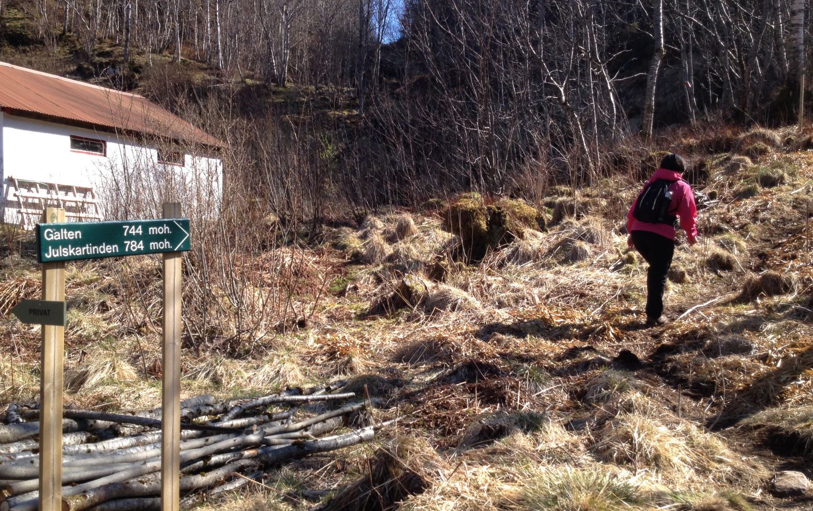
You will be walking along a good path all the way up to the top.Follow the sign to Galten / Julskardtinden. After a few metres along the way, take the marked path that goes to the right and up the hillside. The first section up to the “Christmas tree” and the link to Televerket is a bit steep. Already at this point you will get a great view. This place is a popular launch point for paragliders! There might be some wet sections along the way, especially after the rain, but with a pair of good sneakers / mountain shoes you will be fine.The first part of the trail is called “Klompan”, and there are a couple of nice lakes here which you will find tempting to resist taking a dip on a hot summer day. The first one is located right next to the path at about two-thirds of the way up to the top.At the top of Mount Galten there are three cairns with the trail journal at the one that is further back. But if you want to take in the great view westwards and out to the bottom of the fjord, you will have to go a little further down and to the west. From the top of Galten you will also get a fantastic view of the Romsdal Alps in the south.On our way up we met several families with children who were also enjoying this nice trail to the mountain top.
The trail starts from Malmekleiva just to the north of the road curve from which you can see the Malme Fjord when driving from the direction of Molde. There are some parking spaces on the opposite side of the road near the bus shelter and some more on the way towards the Tussen Tunnel right across the bridge. This car park is used by those who hike the “Gangskaret” trail towards Molde.
Park your car on the opposite side of the road or at the car park across the river which is used by the hikers of the “Gangskaret” trail.
Duration
3 t. 25 min.

Sesong
Spring, Summer, Autumn
Signage
Both signed and marked
| Surface type |
Distance |
| Sti |
7,2 |
You can take a bus from Molde. Get off the bus righ after the Tussen Tunnel.
 Driving directions
 Route data
GeoJSON