Frey, the Radio Station in Oksavika
Sande
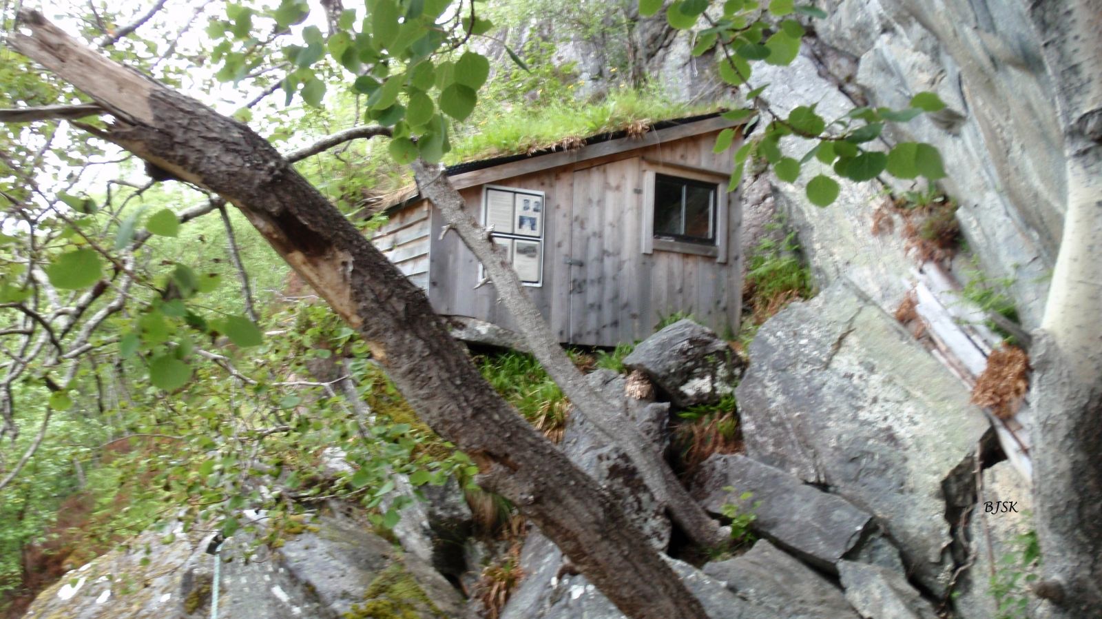
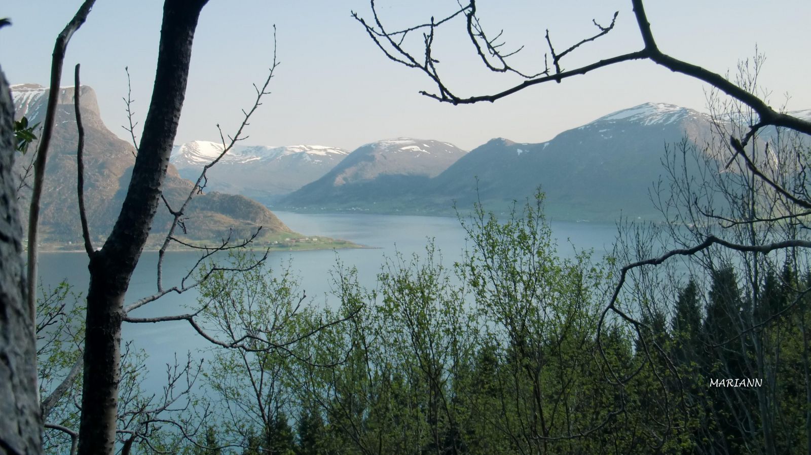
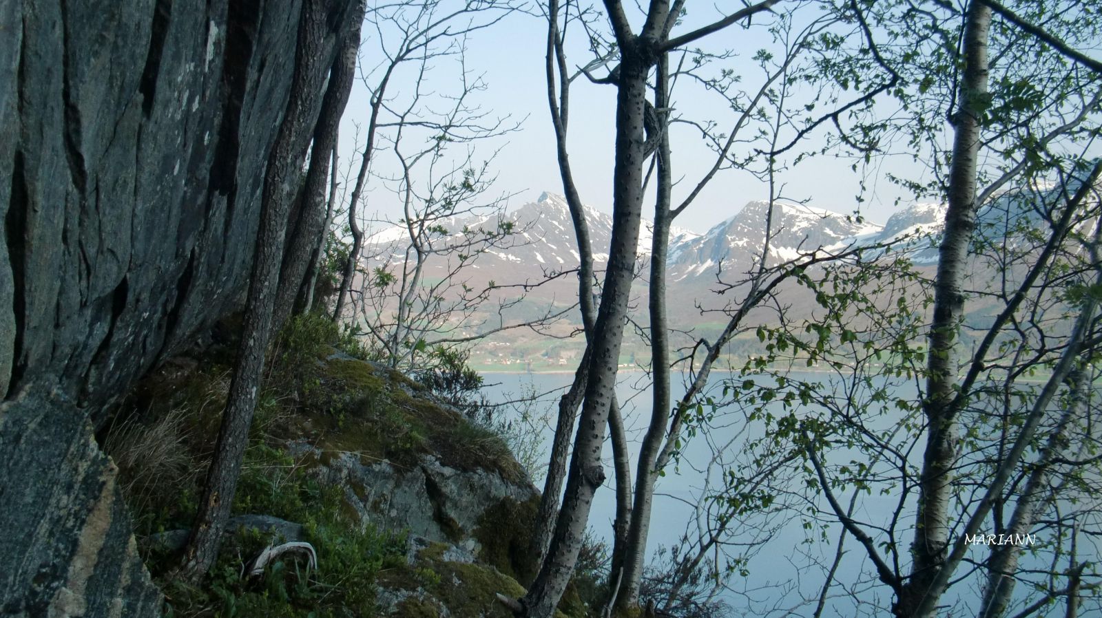
The radio station Frey is located on Mount Almefjellet high above Oksavika. The cabin called Kåken on the mountainside is a reconstruction of the cabin that stood there during the war. The level of difficulty of this hiking trail is marked as blue because of the final 50 metres up to the cabin.
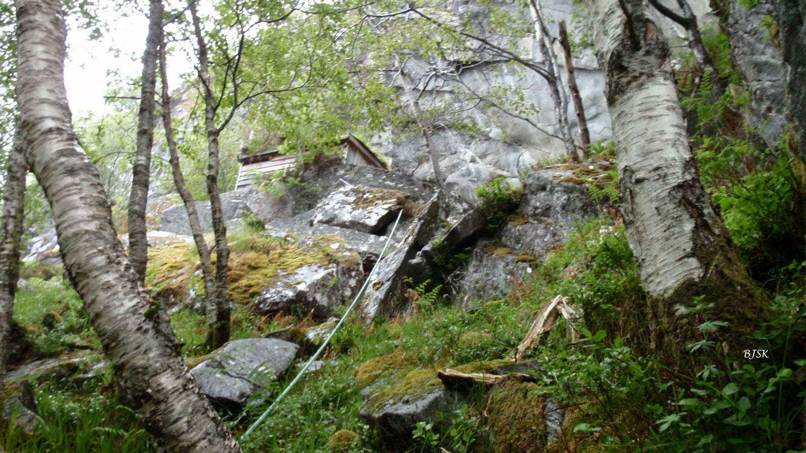
A tractor road climbs up through the forest east of the houses in Oksavika. Follow this road for about 950 m up the mountainside, turn left, and walk along the ridge until you reach a large rock. Walk on the left side of this rock until you see a rope which will lead you to the Kåken cabin. The final 50 metres up to the cabin are steep and rocky, so it may be necessary to help each other climb up.
The trail is marked at the starting point on FV61 and at the junctions.
From County Road 61 (FV61) at the Årvik ferry terminal, drive east for about 3 km to get to Oksavika. Follow the sign for the car park at the starting point of the trail. After driving east for about 100 m, you will see a designated car park on your left-hand side.
Duration
1 t. 10 min.

Sesong
Spring, Summer, Autumn
| Surface type |
Distance |
| Sti |
0,4 |
Feel free to visit the Kåken cabin and write your name in the guest book. Please close all the gates behind you to prevent sheep from going astray.
Ytre Søre Sunnmøre hiking map, M711 1119 III, Sunnmorskart.no
 Driving directions
 Route data
GeoJSON