From Nålsund to Årsundøya
Tingvoll
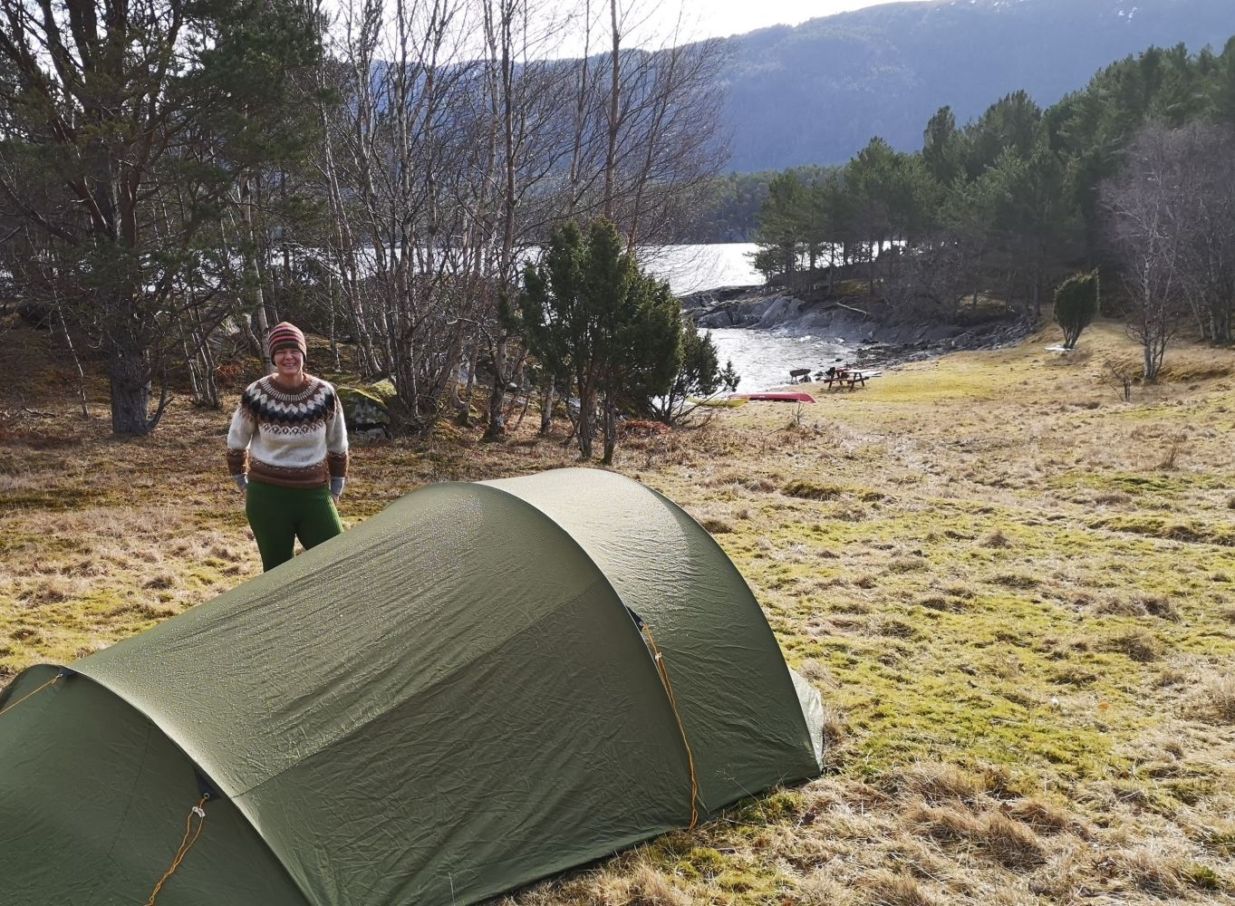
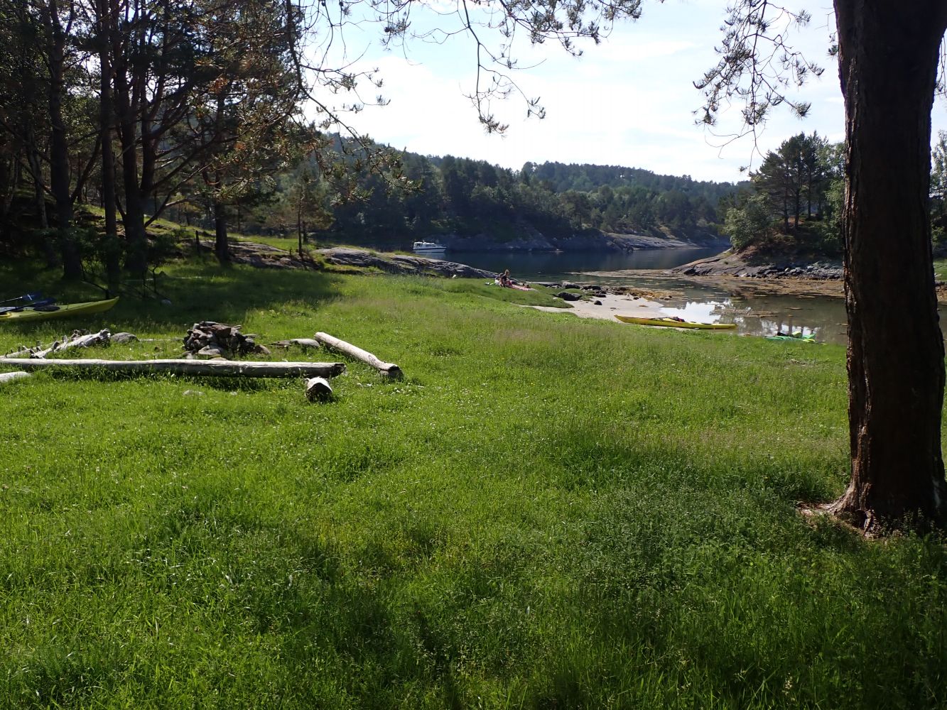
The route follows the east side of Tingvoll peninsula from Nålsund to Årsundøya island. Apart from the crossing over to Årsundøya, the route takes you along land. This route is best with easterly and southerly winds. On the west side of Årsundøya, there is a good public recreation area with campsites for tents, toilets, waste binds and a coastal fort from the Second World War. Good views of Frei and Tustna.
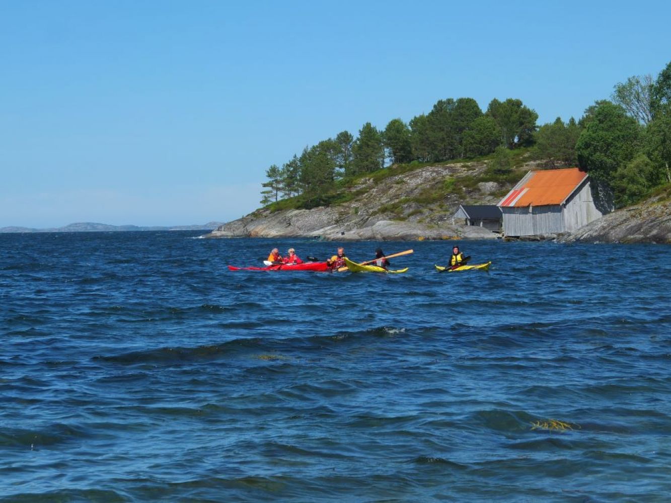
Paddle north from the Nålsund channel towards Nausthaugen and further on to Mjølkneset. From here, paddle past Åsen and on to Kvisvik. The north side of Åsen is a steep rock face straight down to the sea, so here you may encounter some rough sea if the wind is coming from the north or west. Kvisvik Camping has a lovely sandy beach if you want to take a break. Further north, there are a few cabins by the water but also some pleasant coves where you can go ashore for a break. Once you have come so far north that you are crossing over to Årsundøya, it may be wise to stop at Rotmolen before continuing to Årsundøya. On the west side of Rotmolen, the water is shallow, which may result in turbulent waters if there are waves.
On Årsundøya there are several good places to go ashore. On the east side of the island, is Bukta, a little bay with benches on the shore. The bay is sheltered and easy to enter with a kayak if the wind is from the west. If you continue around the north end of the island, you may encounter swells and waves coming in from Talgsjøen if the wind is from the north. When rounding the north side of Årsundøya, you will pass a fort from the Second World War. A little further west on the inside of the little island Halinen, there is a great place to go ashore and pitch a tent if you like. Public toilets can be found on the south side of Hvalbukta. Further southwest by Skarbergneset, you will pass a light station. When crossing over to the mainland, it may be best to go via Rotmolen if winds are from the west. You will then have a shorter crossing and you can avoid the west side of Rotmolen where it's shallow and where the sea can be rough when it's windy. Once you have crossed over to the mainland again, follow the same route you took when paddling north, but this time you'll be going southward towards Nålsund.
This route was prepared by the Norwegian Outdoor Board of Nordmøre and Romsdal.
Nålsund channel is a great place to launch. The landowner welcome paddlers but asks them not to block the road to the docks and boat slips. Park in the parking area on the north side of Nålsundvegen, where there is space for 3-4 cars.
Distance
18,26 km both ways
Duration
4 t. 35 min.

Sesong
Spring, Summer, Autumn
Signage
No signage or markings
This route is best with easterly and southerly winds. Strong winds from the west and north on the north side of Årsundøya and Langøya may be challenging and cause swells from Talgsjøen.
 Driving directions
 Route data
GeoJSON