Around the airport — Byskogen, hiking trail along the airport, Gløsvågen and Pilotveien
Kristiansund
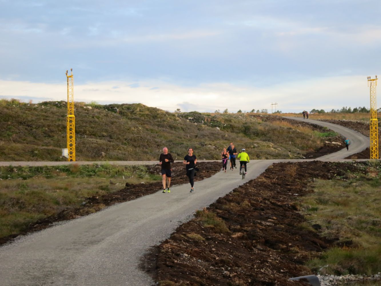
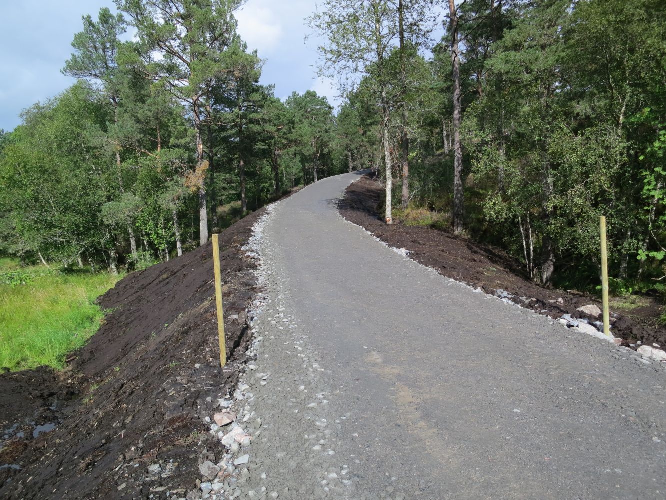
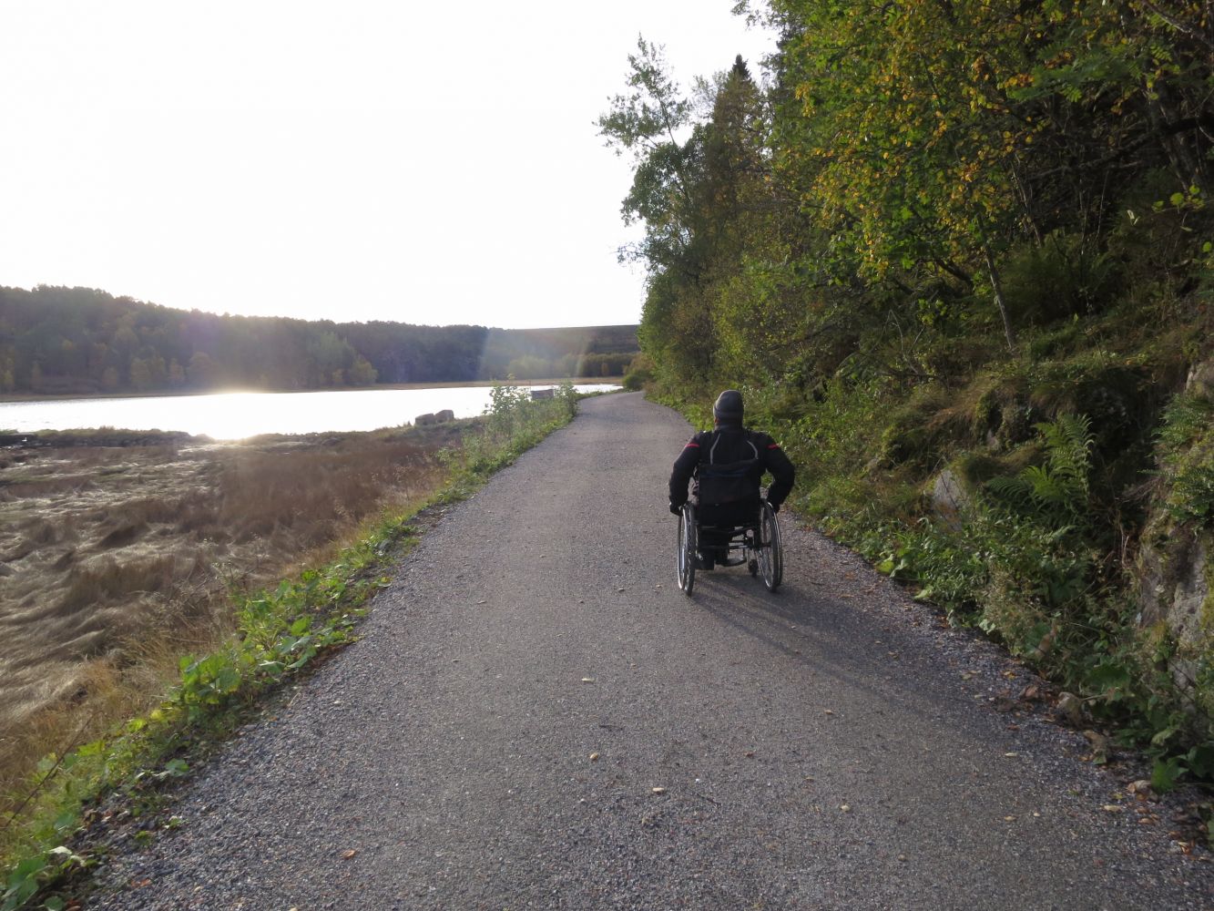
This trail is ideal for both walking and cycling, as well as pushing a baby carriage. You can choose the starting point for yourself, but taking the entire looped trail is a highly recommended hike for the whole family on a nice Sunday afternoon. The looped trail covers diverse terrain, including both asphalt and gravel surfaces. The trail goes through Byskogen with its distinctive cottage area, continues through beautiful natural surroundings with a view towards Tustna, and runs along the amazing Gløsvågen area which is a nesting site and a location for migratory wetland birds. The area provides diverse nutrition for birds and has a spectacular bird fauna. The area is also a nature reserve. The trail enters the territory of the nature reserve.There are several rest areas. You will see a number of benches and tables set up at idyllic locations along the way.
There are signs pointing to the start of the trail from the car parks both in Seivika and Gløsvågen. If you start from Seivika, follow the hiking trail along the airport and around the end of the runway. Continue into Gløsvågen and walk further along Gløsvågveien road. Continue walking until you reach Pilotveien road. Turn left at the junction and follow the walkway/bicycle path that goes through Kvernbergmyran, past the airport and the Handelspark shopping centre. When you meet National Road 70 (Rv70), take the turn to the left and follow the walkway/bicycle path further to Seivika and Byskogen. If you choose to start walking from Gløsvågen, follow the trail in the opposite direction.
There are several options for the trail start. There are good parking opportunities both in Byskogen and in Gløsvågen. If you are driving from Frei, turn off to Seivika right after the Omsund Bridge. If you are driving from the centre of Kristiansund, turn left towards Seivika (right after you pass Handelspark). Follow the sign to Byskogen and you will come to a large car park where the roads Skogveien and Omsaveien meet. You can also choose to park your car in Gløsvågen and walk in the opposite direction.
There is free parking at a large designated car park where the roads Skogveien and Omsaveien meet, as well as in Gløsvågen (furthest along Gløsvågveien road).
Hiking route
Green landevei
Duration
50 min.

Sesong
Winter, Spring, Summer, Autumn
Alternatively, you can either walk from Seivika to Gløsvågen and back or from Gløsvågen to Seivika and back. This trail is 4 km long.
The distinctive feature of this trail is that parts of the hiking path go through the forest, moorland and mild terrain on both sides. Take a couple of detours from the main path to enjoy some quiet moments among beautiful nature along the way. If you walk from the end of the airport's runway eastwards, you can get all the way down to the seaside (Stabbursneset and Sandvikneset). A detour to the Kolvika swimming area is highly recommended on a warm summer day. The sign will show you when you have reached Gløsvågen.
Norge map series Kristiansund 1:50 000
 Driving directions
 Route data
GeoJSON