Fløystadfjellet 660 m a.s.l. (Skarven)
Tingvoll
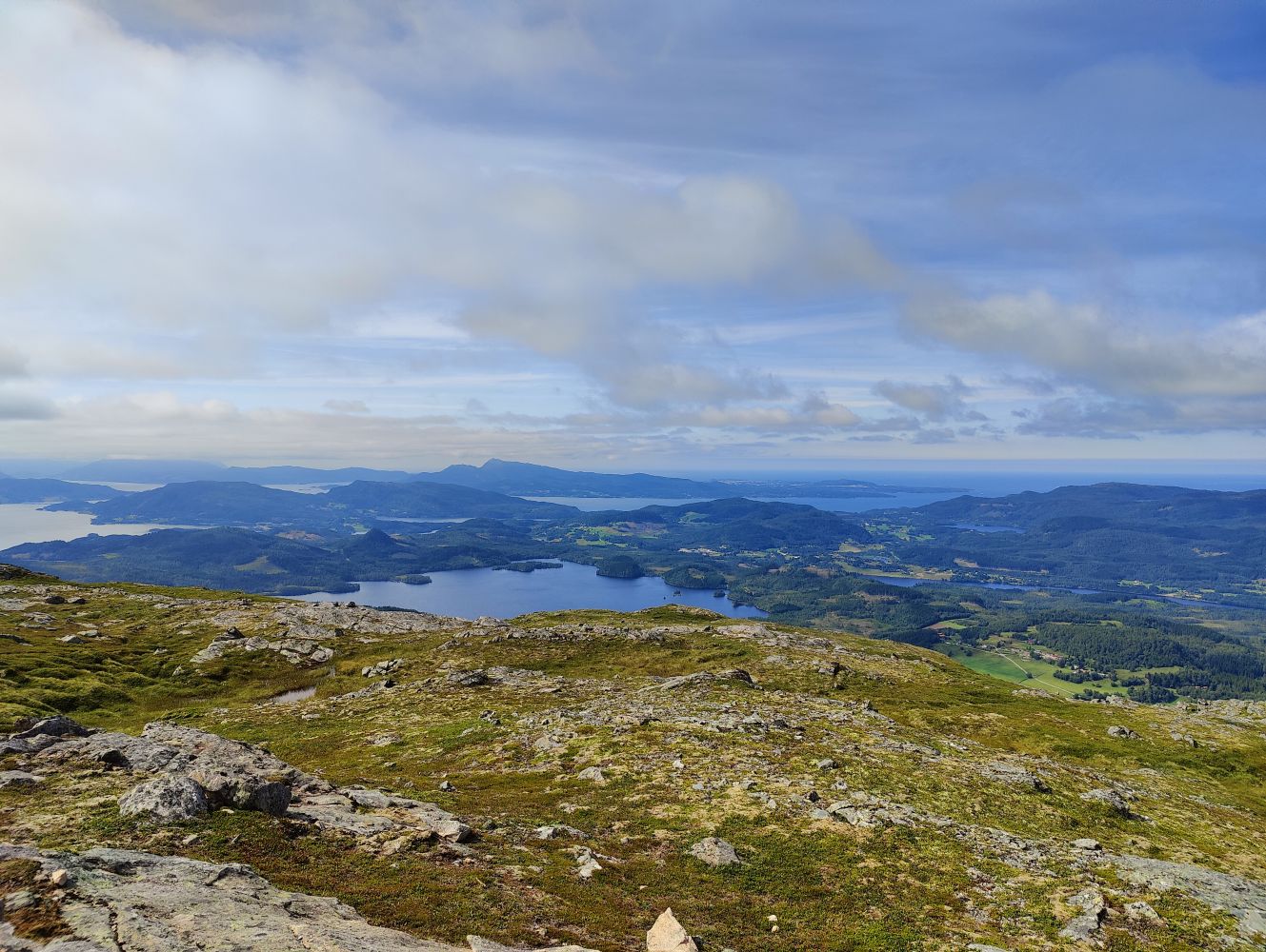
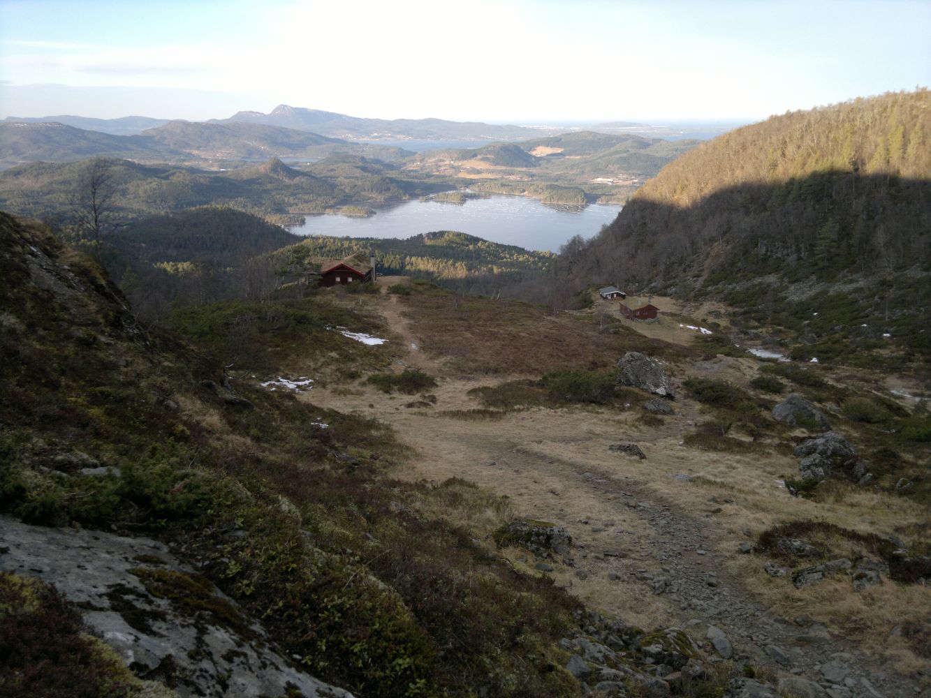
The view from Nysetra is quite unique. You will also get a great view of Straumsnes and a fantastic view over Halsafjorden, the Tustnastabbene mountain tops, and Straumsneset from the top.
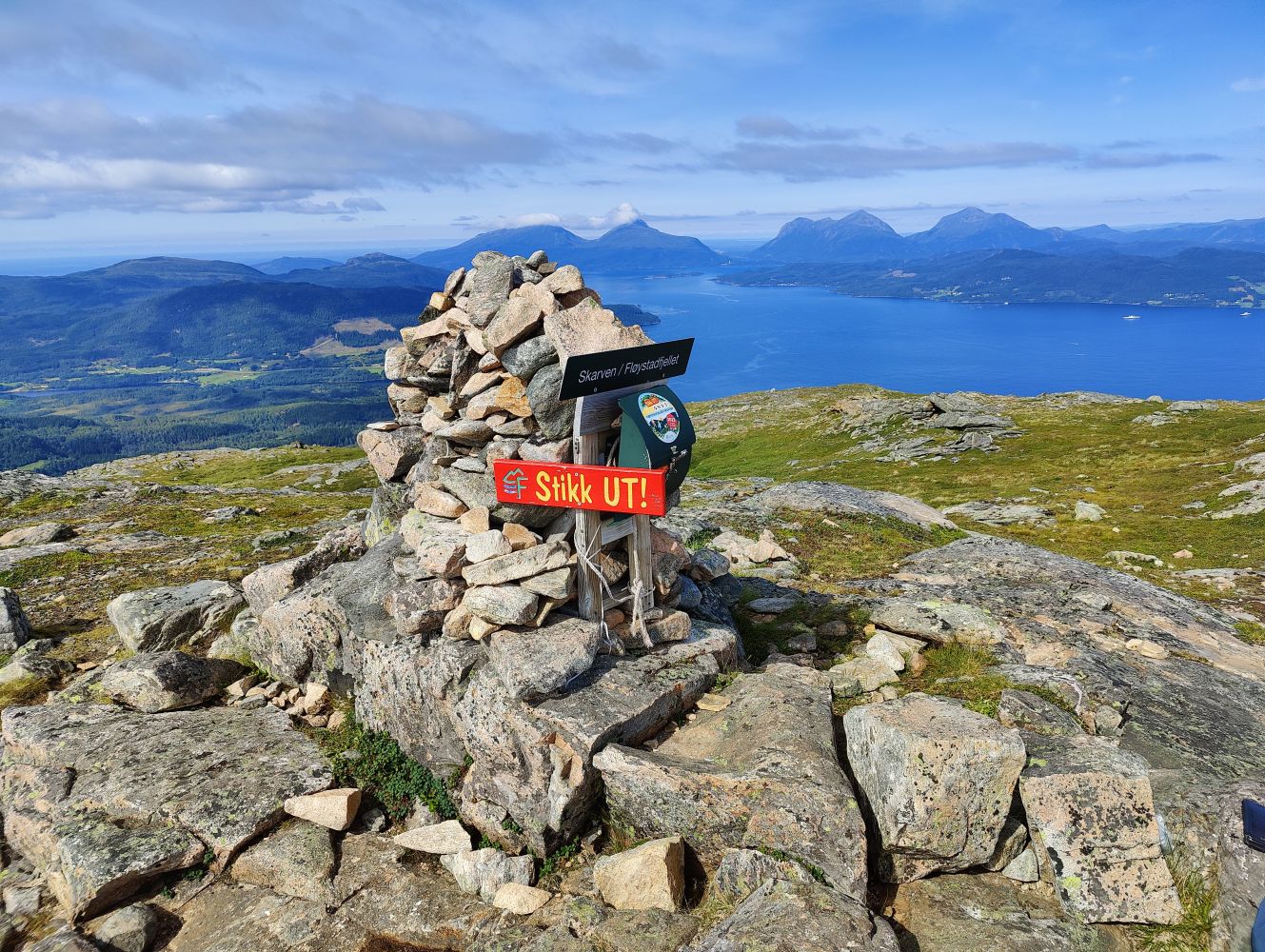
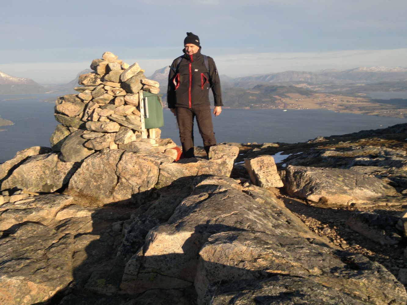
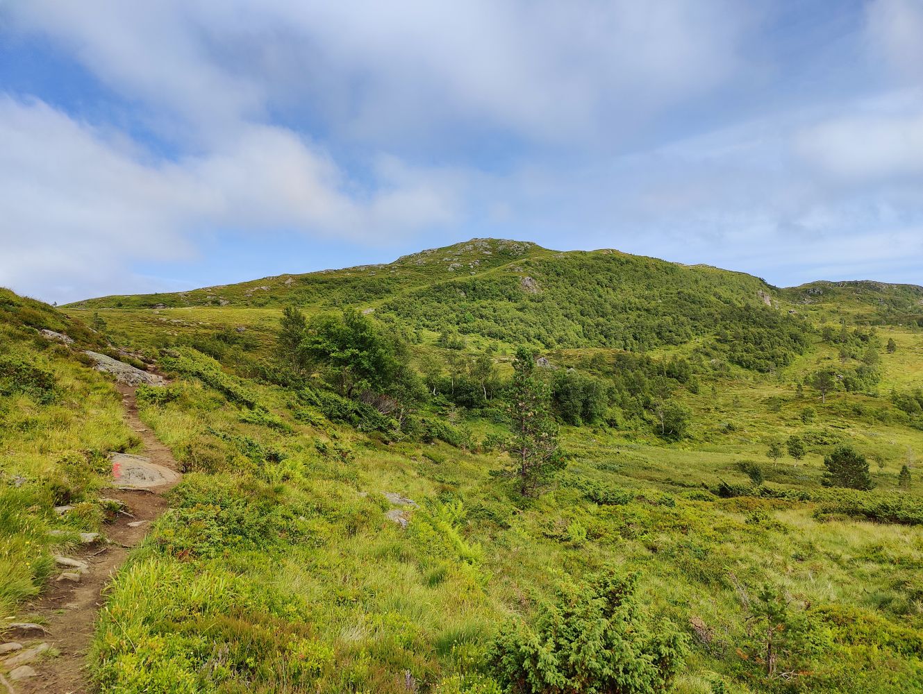
The destination of this trail is a cairn at the top of the mountain where you can have a snack while enjoying a fantastic view in all directions.
The trail starts at the large car park near Gammelsetra. Follow a cart track for the first 650 metres. It will turn into a path just before Nysetra. From here on, you will follow a well defined path all the way to the top.
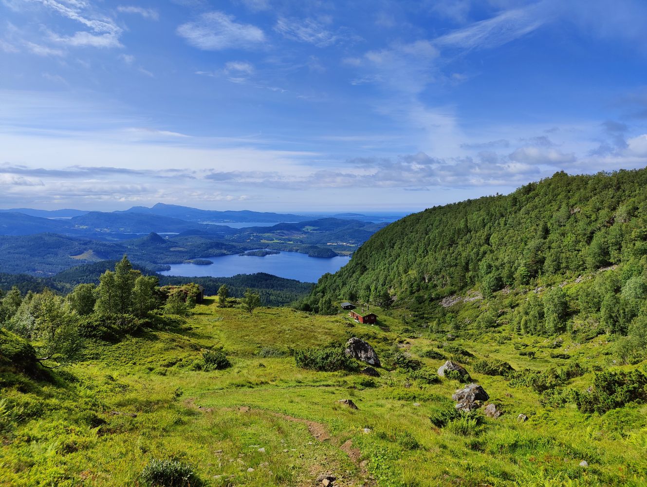
Nysetra is a perfect place to take a break from walking and enjoy the view. Just after Nysetra, you will come across a marked mountain gap and see Lake Salvatnet in front of you. Before you reach the lake, turn off onto a path that swings to the left and follow it to the top. The final section of the trail goes through an open area, so take some extra clothes with you in case of the wind. When it is dry, you can use trainers on this trail.
The mountain is often called Skarven, while some people use the name Fløystadfjellet. In 2004, the Norwegian Mapping Authority considered this issue and rejected the name Skarven. The official name of the mountain top is now Fløystadfjellet.
Drive along National Road 70 (Rv 70) to the Kanestraum ferry terminal. Just before the ferry terminal, turn right in the direction of Vatn. Follow this road for about 3.5 km until you drive past a small lake, Litlvatnet, on your right-hand side. Take the left turn between this and the next lake and drive to a large car park which you will reach after about 2 km. This is a toll road with a toll fee of NOK 50.
GPS coordinates of the car park: 63.01068 008.10378
Toll road (NOK 50)
Duration
2 t. 30 min.

Signage
Both signed and marked
| Surface type |
Distance |
| Sti |
4,1 |
Please walk around the farmyards where possible. The path is marked with sticks.
Tingvoll tourist map 1:50 000 and Map of Norway 1321 II Kristiansund
 Driving directions
 Route data
GeoJSON