Norsk

Flemsetervatnet

Gjemnes

The trail at a glance

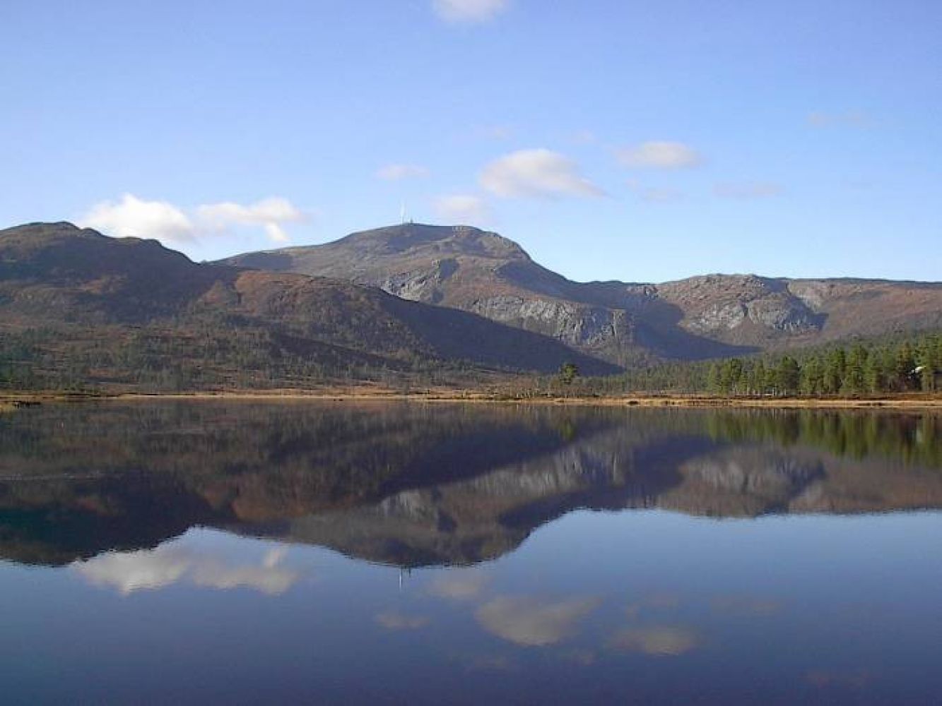
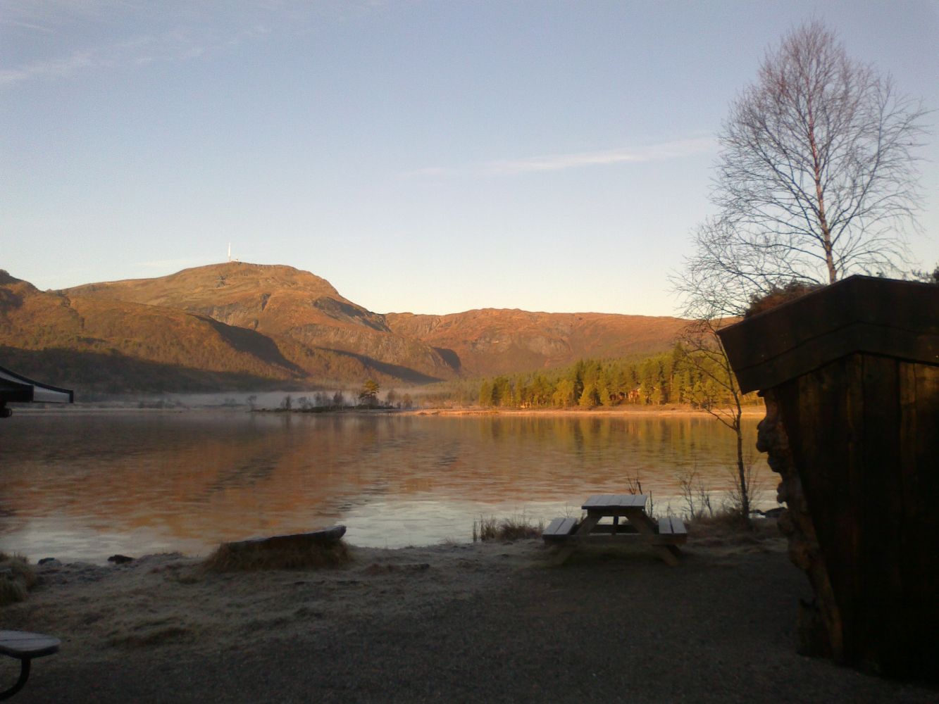
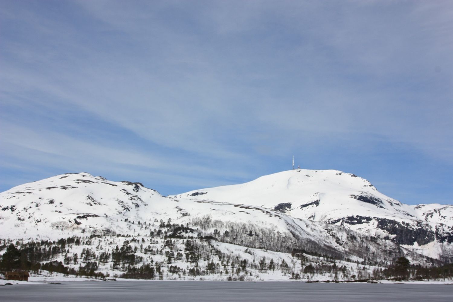
This idyllic hiking trail follows a forest road. It is easy to walk along and stroller-friendly. Once you come up to the lake, you will find a pleasant picnic area with a gapahuk shelter and a barbecue place. From here, you will get a fantastic view over the lake and up to Mount Reinsfjellet. Click here to learn more about biodiversity: http://dnweb12.dirnat.no/nbinnsyn/asp/faktaark.asp?iid=BN00001829

Route description

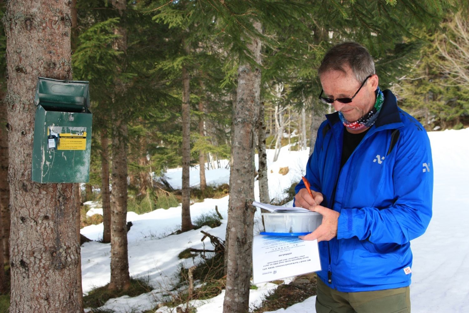
The forest road runs from the car park in Flemsetra all the way up to the lake. You can also park your car along the forest road just before the boom gate. Once you come up to the lake, you will find a pleasant picnic area with a “gapahuk” shelter, a barbecue place, and a fantastic view over the lake. The trail continues along the eastern side of the lake, and the forest road changes to a hiking path. The trail postbox is located near the bridge about half way through the trail. Follow the path straight ahead until you come back onto the forest road. Turn right and go back to the car park.

Arrival and parking

From Kristiansund: Drive along E39 to Batnfjordsøra. Turn left at the junction and follow FV666 in the direction of Torvikbukt. Drive to Torvikbukt. Turn right onto FV289. Drive up to the junction with FV665 and turn left. Drive for about two kilometres. Turn left again and follow FV291. Drive for about 4 kilometres. You can park your car on both sides of the road or along the forest road. From Molde: Drive along E39 from Molde to Hjelset. Continue onto FV62 to Ødegård. Turn off to the right onto FV665. Drive to Fagerlia. Turn off to the right onto FV291. Drive for about 4 kilometres. You can park your car on both sides of the road.
Hiking route
Green
Distance
6,27 km one way
Elevation
167 m
Duration
2 t. 0 min.
Sesong
Spring, Summer, Autumn
Highest Point
276 masl
Signage
Signed

Map route

Public transport

Bus service. There is only a school bus that runs two times a day. It is also possible to take a bus to Flemma. Please check http://www.frammr.no for more information.

Other

There is a tar burning spot just by the forest road, but the area has not been marked yet. It is possible to follow this trail with a stroller and on a powerful electric wheelchair.

Map

Kristiansund tourist map
Driving directions

API endpoints

Route data GeoJSON