Norsk

Fjørtoftneset

Haram

The trail at a glance

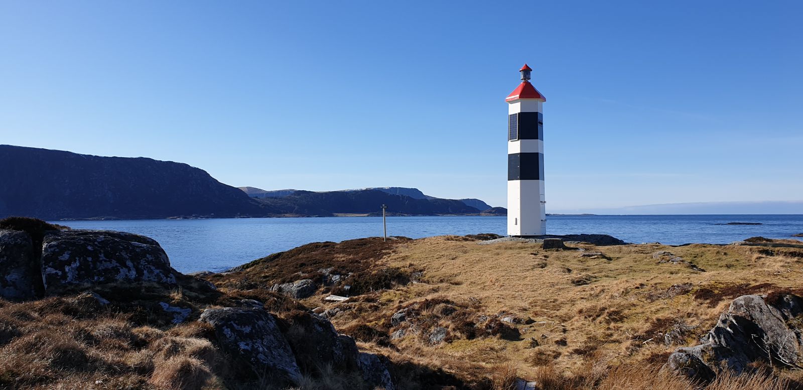
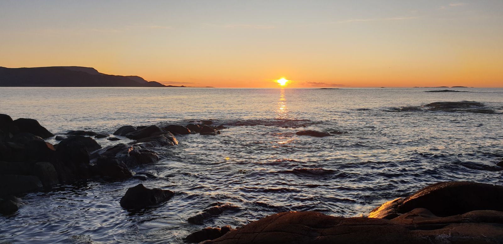
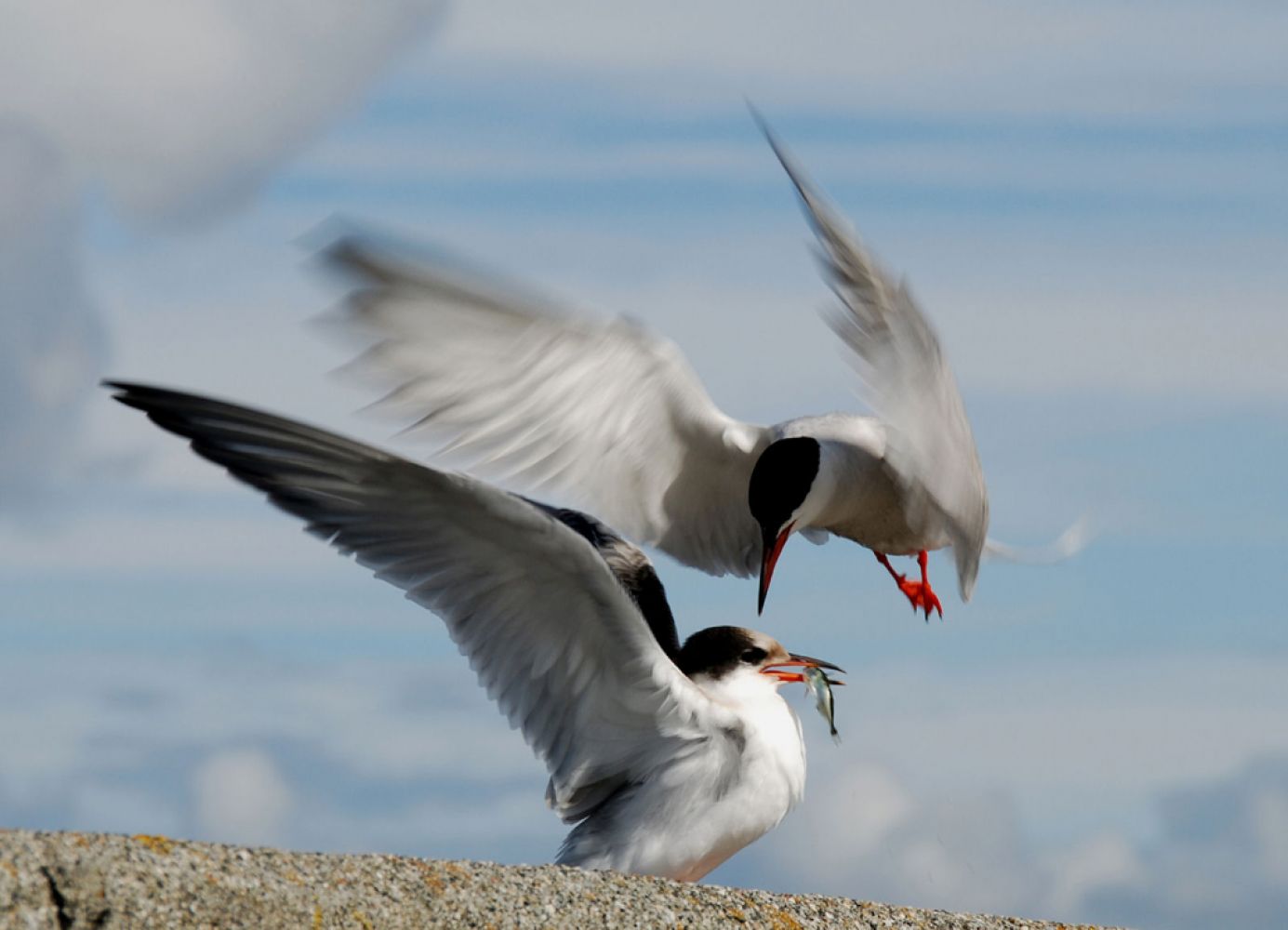
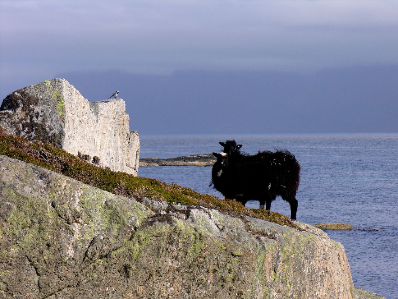
This trail offers great natural and cultural experience with diverse wildlife and beautiful coastal nature. The largest part of the area is a protected natural reserve. You will also find several burial mounds in the area. The natural reserve is also an important nesting area for seabirds. Wild sheep graze in the area, which keeps the vegetation down.The trail will take you out to the lighthouse at the end point of the spit of land. It is a great hike for the whole family. At the lighthouse, you can use the barbecue place or enjoy a packed lunch that you brought from home.

Route description

Begin walking from the barn at the start of the gravel road. From there, follow the tractor road for a while until it changes into a clear path. It is also possible to cycle or drive along the tractor road up to the point where it changes into a path. You can park your car at several points along the road. Once you come to the stone fence which marks the beginning of the path, you will walk into the area of the nature reserve. The entire trail is quite flat, and the path primarily goes through heather- and grass-covered areas. You will also come across some rocks and stones which are natural features of any coastal path. The trail destination is easily achievable for the majority of people.

The destination of this trail is the lighthouse on the Fjørtoftneset Spit. You will find the trail postbox here.

Access and parking

You can get to the island of Fjørtofta either by express boat or by ferry. It is recommended that you plan your hike in accordance with the express boat / ferry timetable. Start walking from the quay and turn right at the junction — this is the shortest way to the start of the trail. Follow this road for about 4 km. You will also get to the starting point of the trail if you choose another direction. The trail starts at the tractor road. Here you will also see a barn and a shed with a sign saying “Saloon” attached to it. Follow the road from here.

There is no parking fee, but you have to buy a ticket for the ferry or express boat.
Hiking route
Green
Distance
3 km one way
Elevation
21 m
Duration
1 t. 5 min
Sesong
Winter, Spring, Summer, Autumn
Highest Point
15 masl
Signage
Signed
Mobile coverage

Map route

Surface type Distance
Sti 2

Public transport

You can take an express boat from Ålesund. We recommend bringing a bicycle, so that you could cycle to the starting point of the trail. It is very nice to cycle around the island, since it is quite flat here. Please check the express boat routes at http://www.frammr.no. Alternatively, you can take a bus to Brattvåg and then a ferry from Brattvåg to Fjørtofta. If you do not want to take a car with you, bringing a bicycle would be a good idea again. You can cycle from the ferry terminal. For more information about ferry and bus routes, please go to http://www.fjord1.no and http://www.frammr.no respectively. NB! It is recommended that you plan your hike in accordance with the express boat or ferry timetable.

Other

April and May can be lambing season for the wild sheep that graze in the area, so please do not disturb the animals.

Map

Norge map series 10076 Ålesund
Driving directions

API endpoints

Route data GeoJSON