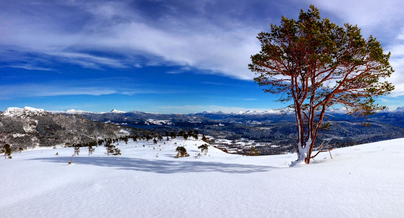
Starting from Flemsetra, follow the road up towards Lake Flemsetervatnet. After it flattens out past the boom gate, take the turn to the left and walk across the bridge before you reach the lake. From here, follow the upper of the two ways, the one leading up to two cabins.Turn off to the left at the sign (just before you come to the first cabin). Follow the waymarked path up towards the hill. After you have walked under the power line, you will reach Fagerliskaret. The trail destination is at the next top at the former geodetic point, 474 m a.s.l.You can walk the same way back, or you can go back to Fagerliskaret and follow the marked forest road down to County Road FV291 towards Bytbekken, which is about 2.5 km closer to Fagerlia than the place where you started from (
https://mrfylke.no/Morotur/Turar/Fagerlihoegda-fraa-Bytbekken). Alternatively, you can walk further along the hilltop and come down near the skiing centre in Fagerlia (
https://mrfylke.no/Morotur/Turar/Fagerlihoegda). The trail destination is at the former geodetic point on the northern end of the Fagerlihøgda hill. There you will find a trail postbox and a journal.

 Driving directions
 Route data