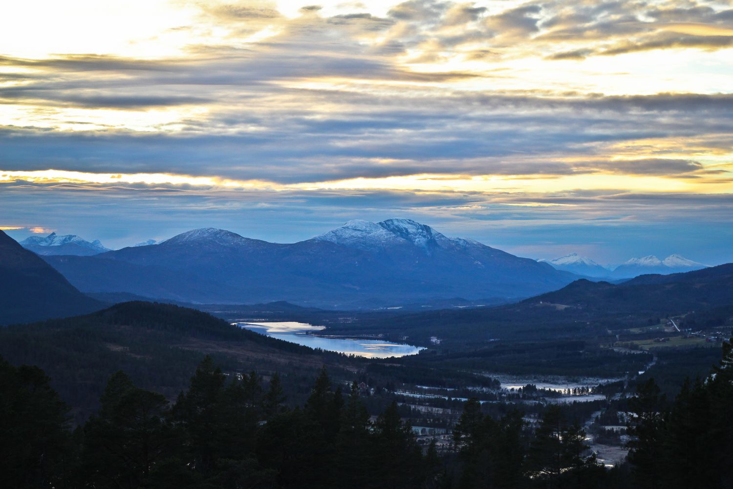
Follow the forest road from the ski resort Fagerlia Skisenter up to the cabin area Høgberget Hyttegrend for as far as it goes. Take the signposted path to the right and follow it as it runs up into the forest. After 500–600 metres, you will come up above the tree line and primarily walk over a bear mountain area up to the trail destination. The first section of the forest terrain is somewhat marshy. There are two alternative routes from the top back down to the starting point. Follow the marked path further over the mountain area and down through Fagerliskaret. From here, you can follow the forest road down to FV291 by the Bytbekken Brook, about 1.5 km closer to Flemma than your starting point (
https://mrfylke.no/Morotur/Turar/Fagerlihoegda-fraa-Bytbekken), or walk along the mountain area over to Mount Flemseterfjellet and down to FV291 by Flemsetra, about 3.5 km closer to Flemma (
https://mrfylke.no/Morotur/Turar/Fagerlihoegda-om-Flemsetervatnet). 
 Driving directions
 Route data