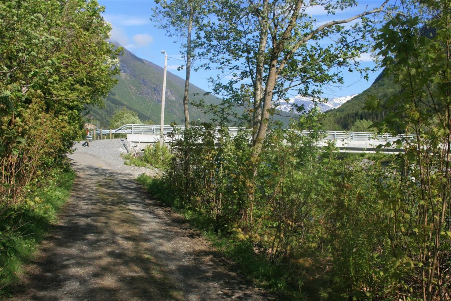
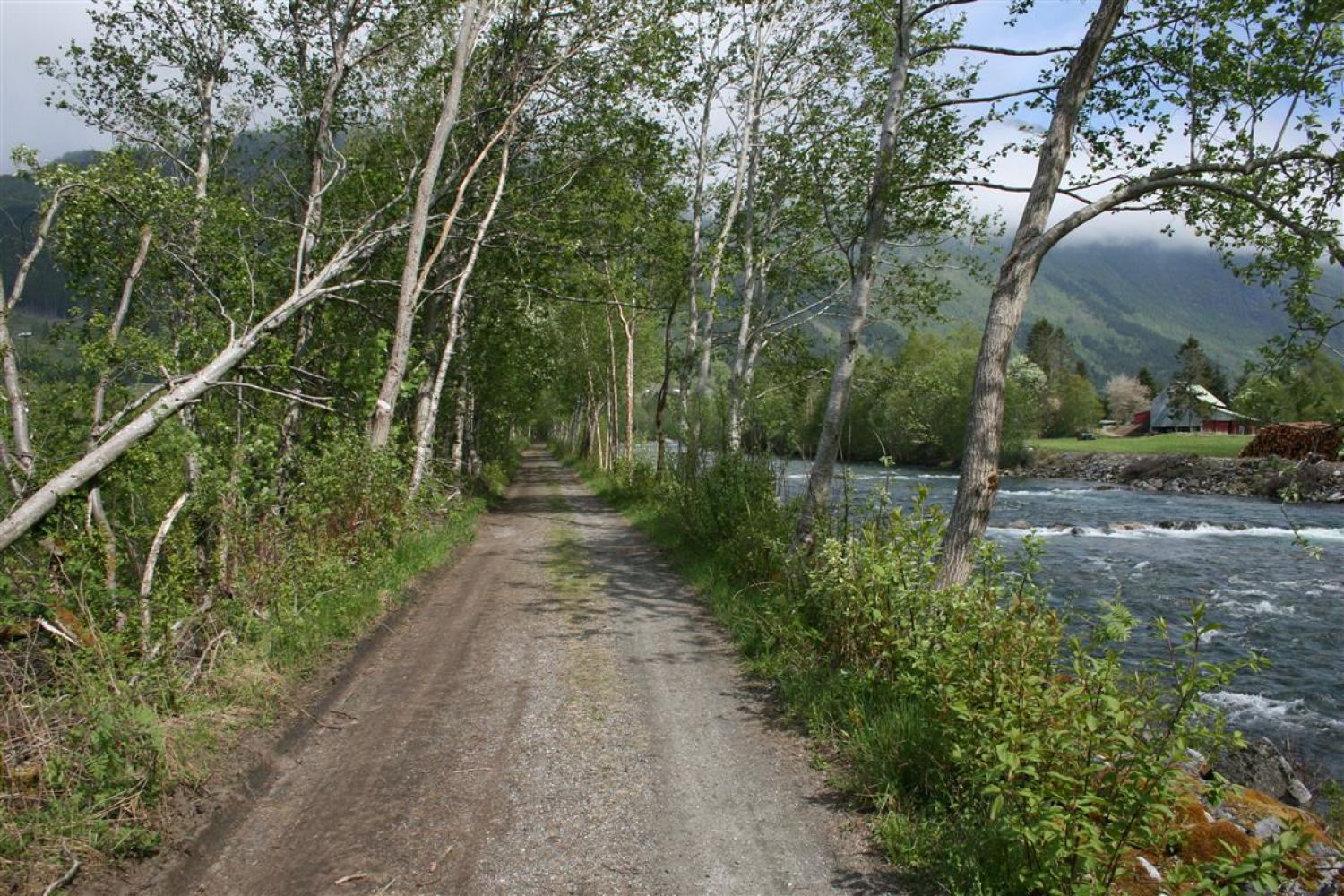
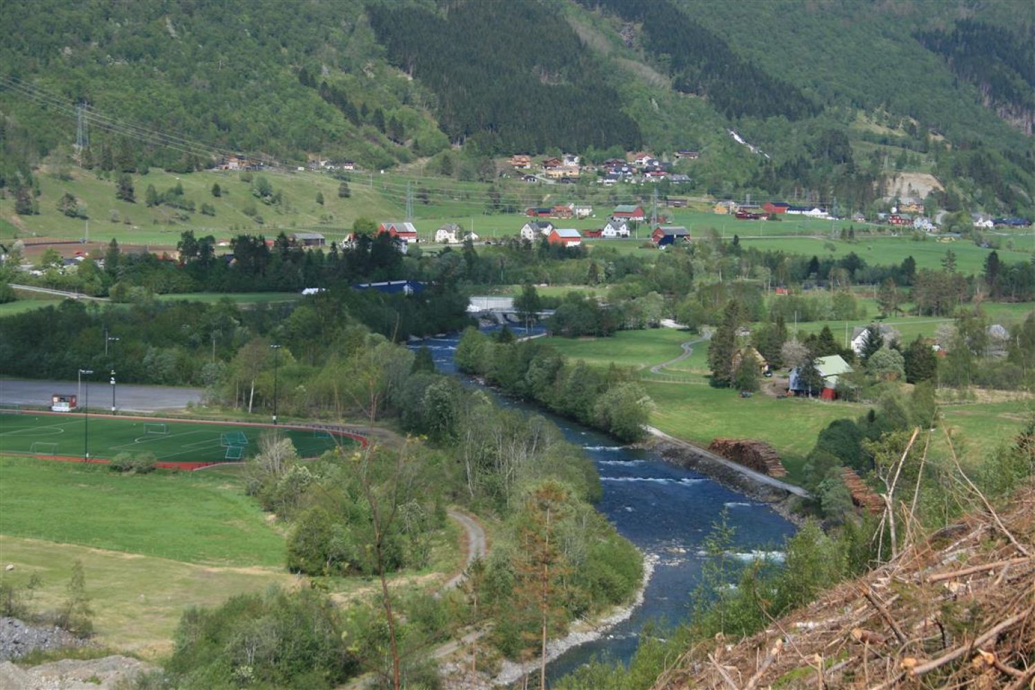
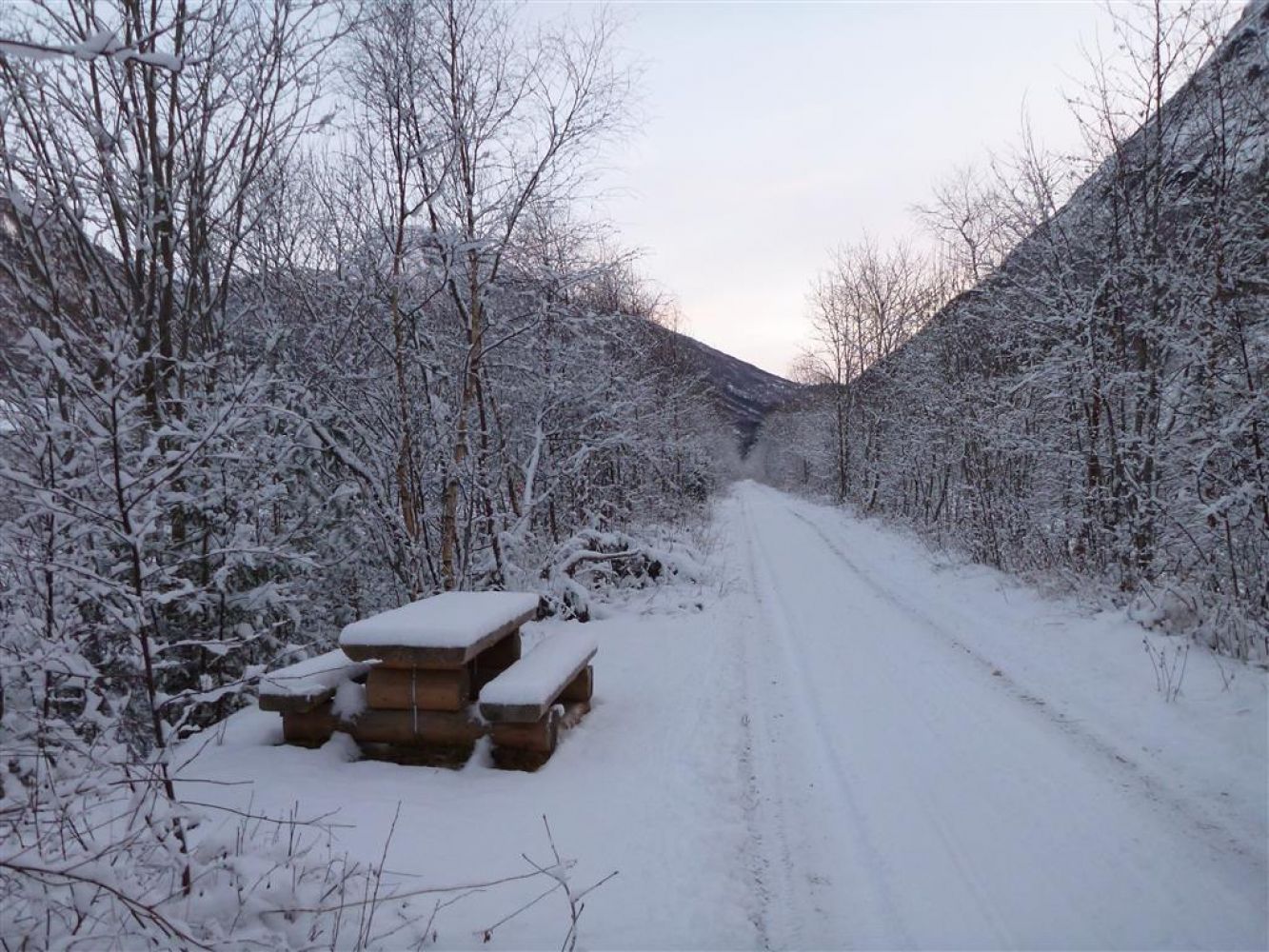
This is an easy trail with little climbing that will take you along the Storelva river in Stordal. The trail is available all year round, but it is not cleared from snow in winter. You can follow the forest road for as long as you like. The forest road goes to Storheim with one interruption in Holt where you will need to walk across a field.
Route description
The trail follows a forest road from the marina/camping in Stordal. You can either follow the road along the river or walk on some of the side roads and come to the road through Stordal to follow it as you go back to the starting point. If you start walking from the camping, the forest road will take you past the Vinjesanden recycling station. A “gapahuk” shelter with benches and tables is set up in the area for salmon fishermen. With the trees arching over it, the forest road continues further. You will pass the Kirkebø Stadium. After walking for 1.8 km you will get to the Kvammebrua Bridge. You will find a bench here where you can take a rest and a trail journal where you can write your name. As you continue further along the forest road, you will find the Stikk Ut trail checkpoint.For an easier option, you can turn around at this point or walk up the road to the old Stordal church, Rosekyrkja. The river continues further ahead. In Øvrebust (after 2.3 km) there is a bridge over another river that crosses Storelva. The Stikk Ut trail postbox is installed 100 metres after this bridge. If you want to follow the walkway along the main road on your way back, you need to turn off here. There is another “gapahuk” shelter a little further ahead. Once you reach Holt, you will need to cross a field before the road continues. After you walk past a sawmill in Storheim, it will become slightly more difficult to follow the forest road, since it is partly overgrown.
You can walk as far as you want further into the valley.
Access and parking
Start walking from Stordal Camping/Stordal marina in the centre.
You can park your car at the marina in Stordal.
Hiking route
Green
Elevation
84 m
Duration
4 t. 0 min
Sesong
Winter, Spring, Summer, Autumn
Highest Point
56 masl
Signage
Signed
Mobile coverage
Map route
Surface type
Distance
Sti
4,5
Public transport
There is a bus connection between Ålesund and Valldal. Please check frammr.no

 Driving directions
 Route data